
PLATFORM
Spatial analytics for the modern data stack
Analyze, visualize and develop with spatial data at limitless scale in your data warehouse.


Cloud native
Work on top of your cloud data warehouses to avoid duplication, or wasted time on complex data cleaning or ETL processing.

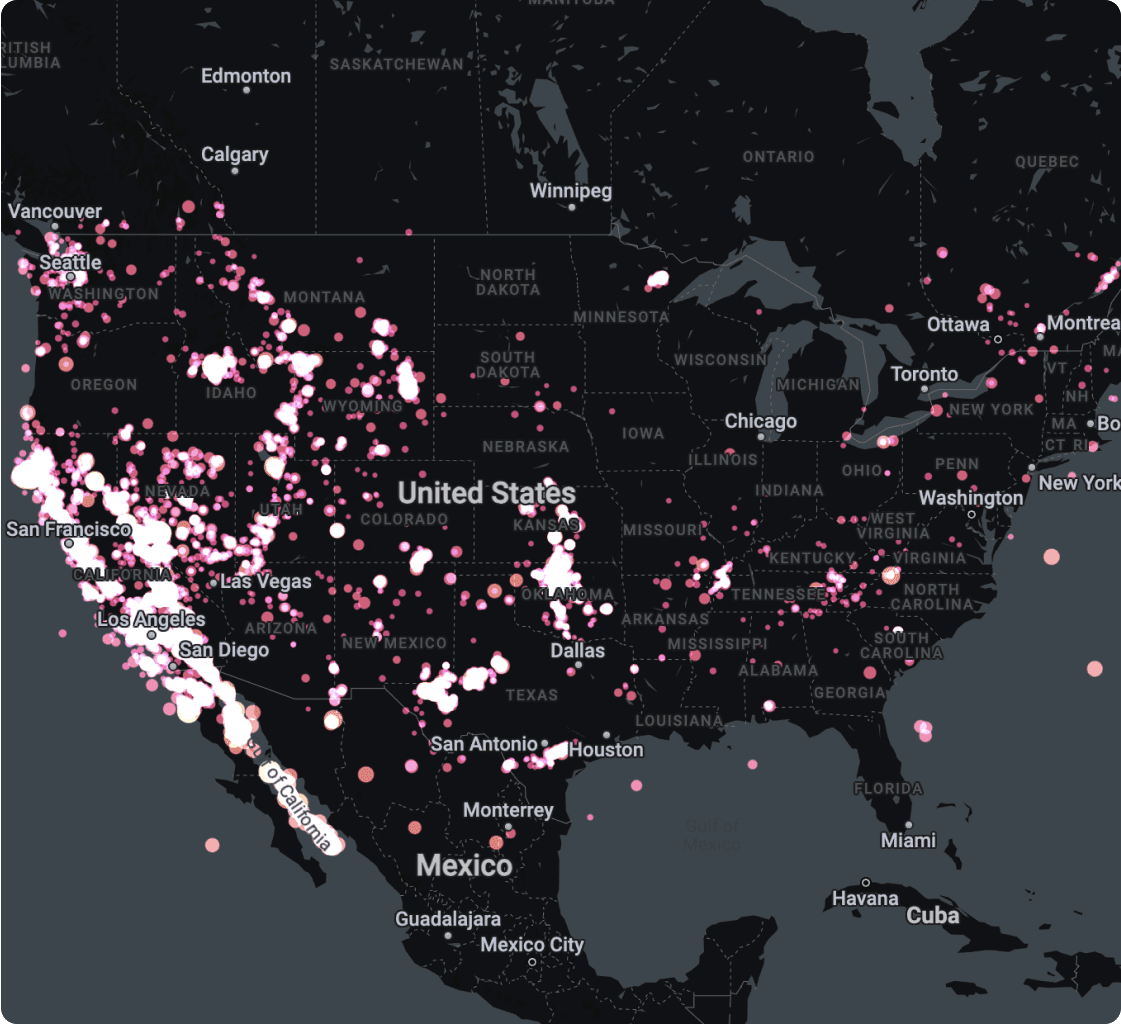
Scalability without limits
Experience a seamless performance by analyzing and visualizing several layers using massive datasets, directly from your cloud data warehouse.

Accelerated time-to-insight
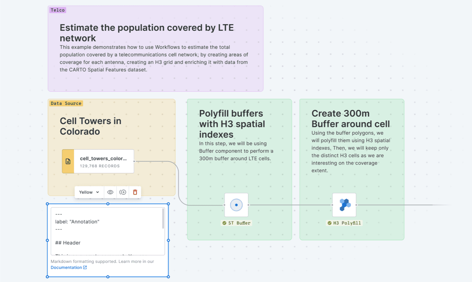
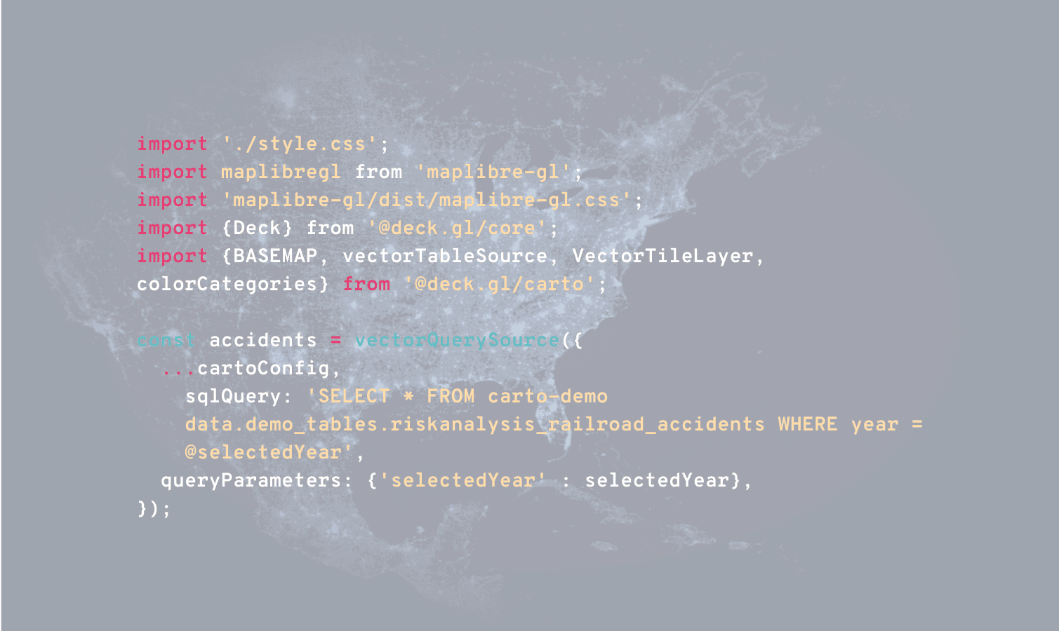
Design, run and share flexible analysis workflows and build interactive dashboards, using powerful low-code drag-and-drop visual tools.

FEATURED STORIES
Get inspired by our customers
FEATURED STORIES
Get inspired by our customers
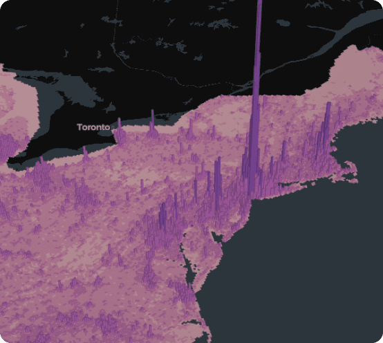
More than 12,000 datasets to enhance your analysis
Easily design and automate advanced data processing and analysis pipelines natively on the leading cloud platforms using our intuitive drag-and-drop interface.
.png)
.png)
Truly enterprise-ready
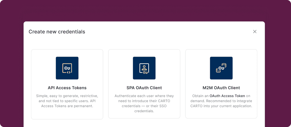
Our enterprise-grade security, authentication and data access controls let you distribute your analysis securely with stakeholders. Create secure connections to your data warehouse, give access to your users with SSO, and share your analysis safely.

.png)
Need some help to kick-start your geospatial project?
Our Professional Services & Support teams can help you accelerate projects, drawing on their expertise in app development, design, spatial data science and GIS.


.png)






.png)

