How to subscribe to public and premium datasets
Learn how to subscribe to public and premium datasets
How to instantly subscribe to public datasets and start the premium data subscription process
Using the same Spatial Data Catalog web interface within the dashboard, users can instantly subscribe to any of our public datasets. They can also submit requests to start the licensing process of premium datasets from our vetted data sources.
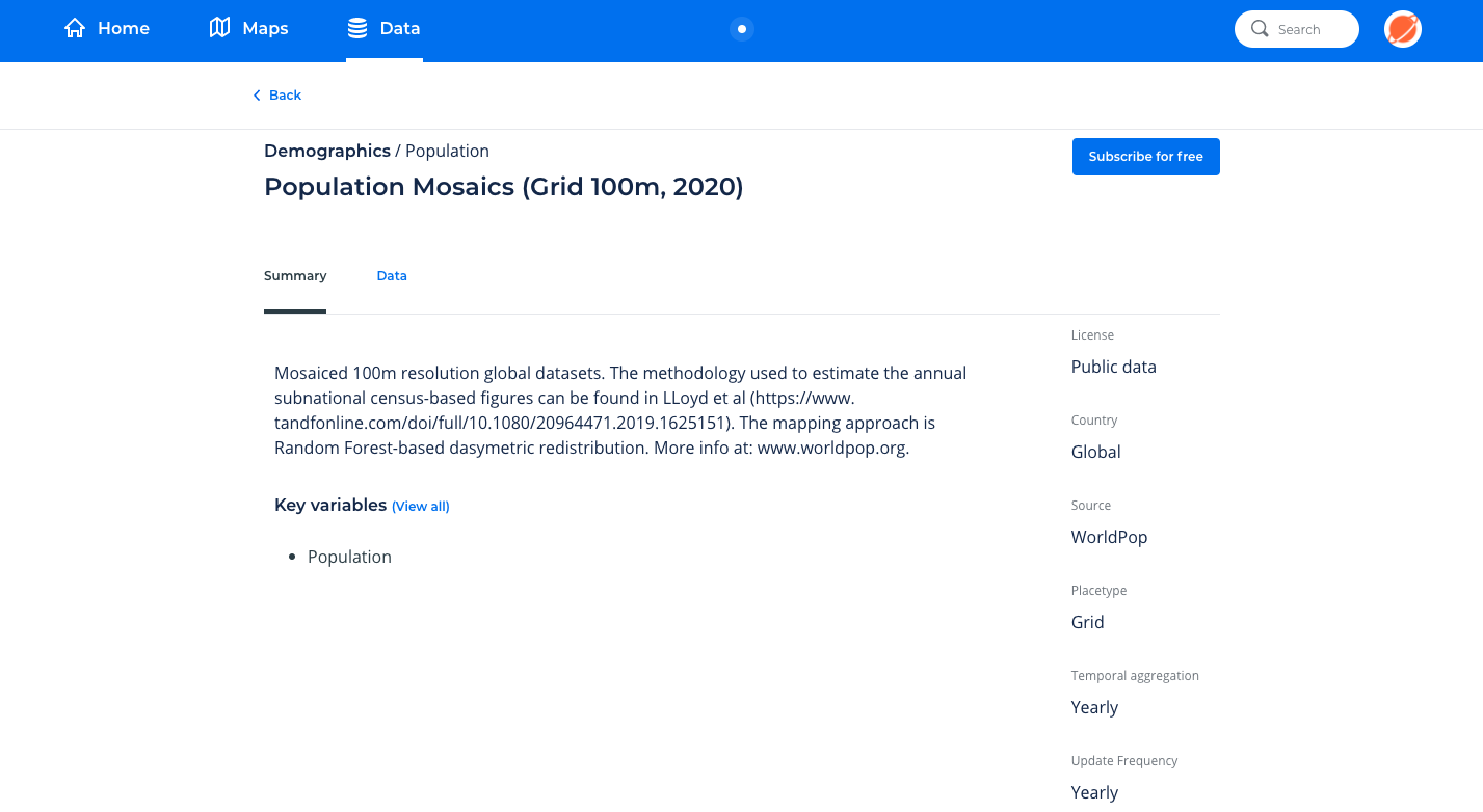
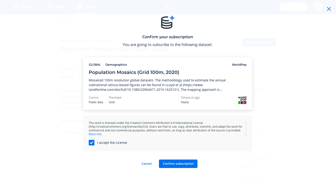
If a dataset’s license is public, you can now click on “Subscribe for free” within the dataset’s Spatial Data Catalog page to start the subscription process. After that, you will have to read and approve the license terms of that data source, and finally confirm the subscription.


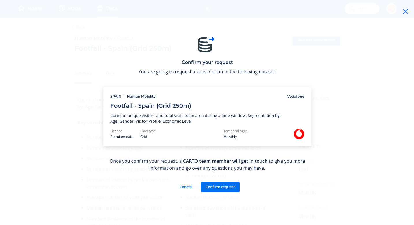
For premium datasets you can make a subscription request. After submitting the request our team of experts will get in touch with you to help you understand all of the dataset’s details, in order to ensure it’s the best fit for your use-case and to guarantee a hassle-free subscription process. Once that process is complete the premium data subscription will automatically be created. At that point you will have access to a ready-to-query and always up-to-date version of the premium dataset you selected.

Note: Subscriptions to public datasets consume available data storage quota in the user’s account. For premium data subscriptions, the necessary storage quota is provided by CARTO as part of the premium data license. This is added to the existing data storage quota of the user’s account.