Spatial data governance is a framework that provides a clear, structured approach to managing your spatial data, ensuring it is trustworthy, secure, and compliant. It involves defining policies, roles, and procedures to ensure the quality, integrity, and privacy of location-based data throughout its lifecycle.
How does AI impact spatial data governance
The rise of AI has changed how spatial data is used. Location data now informs AI agents that can act on it in real-time, from optimizing logistics to detecting environmental anomalies. This shift makes governance more critical than ever. Poorly governed data can lead to biased, inaccurate, or non-compliant AI outcomes, especially when dealing with sensitive information
Why is spatial data governance relevant
The race for context
AI platforms are hungry for fine-grained spatial context, including hierarchies, real-time signals, and semantic overlays. Without proper governance practices that capture and structure this context, models can become brittle, biased, or hard to audit.
The risk of silos
Historically, spatial data has been managed in a fragmented, siloed ecosystem, separate from core data platforms. This leads to inconsistent standards, limited visibility, and security gaps. The result? Poor controls that threaten compliance and risk bias and inaccuracy in AI-driven outcomes.
Unique challenges of spatial data
Spatial data is inherently rich and revealing, and can indirectly expose personal behavior. It also has unique characteristics that require careful consideration:
Coordinate systems and projections: Ensuring alignment across datasets is critical to avoiding misinterpretation.
Temporal complexity: Features often change over time, so governance must capture “when,” not just “where”.
Privacy and identifiability: Even anonymized location data can be used to re-identify individuals without proper safeguards.
Key frameworks impacting spatial data governance
The regulatory environment for location data is evolving quickly. Spatial data often intersects with personally identifiable information, making it subject to a growing web of privacy laws and AI frameworks.
        Regulation
        Description
        Applies to


        **GDPR (EU)**
        Treats location data as personal data when it can identify individuals. Requires consent and purpose limitation.
        Any organization processing personal data of individuals in the EU.


        **CCPA/CPRA (California)**
        Grants consumers rights over geolocation data, including rights to access, delete, and opt out of sale or sharing.
        U.S. companies (or those targeting U.S. consumers).


        **HIPAA (U.S.)**
        Restricts the use of geospatial data when linked to protected health information (PHI).
        Healthcare providers, insurers, and healthtech platforms operating in the U.S.


        **EU AI Act**
        Requires transparency, risk classification, and auditability for AI systems using location data. High-risk systems face stricter oversight.
        AI-driven products or analytics in the EU, especially those impacting mobility, employment, or safety.


        **DPDP (India)**
        Introduces consent-based processing and localization requirements for personal and geolocation data.
        Companies collecting or processing Indian user data - across tech, telecom, finance, and logistics.


        **PIPL (China)**
        Imposes strict rules on cross-border data transfer, data minimization, and individual consent for personal and location data.
        Any business handling Chinese citizen data - including logistics, ride-sharing, and manufacturing sectors.
Why standards matter in spatial data governance
Regulations define what must be done, while standards define how to do it. Adhering to geospatial standards is recommended for maintaining data quality, enabling interoperability, and supporting regulatory compliance.
OGC (Open Geospatial Consortium): Defines open standards for geospatial formats to promote cross-platform interoperability.
ISO 191xx Series: International standards for spatial metadata, data quality, and schemas.
GeoJSON, TopoJSON, WKT: Common open formats for encoding geometry and attributes.
EPSG Codes / WKT/ CRS: Define coordinate reference systems and projections for spatial accuracy.
INSPIRE (EU): Mandates harmonized geospatial data standards across EU member states
How to build a spatial data governance framework
Here are 10 practical steps to build a resilient and scalable spatial governance framework.
Embed spatial governance into your broader data strategy
Don’t create parallel processes for spatial data. Treat it as a first-class data type in your governance strategy, aligning standards and access controls across all data domains.
Eliminate ETL
Data quality and security are most at risk when data moves. Avoid Extract, Transform, Load (ETL) workflows by embracing a lakehouse architecture and deploying native applications that operate where the data already lives.
Enable AI-driven workflows inside your lakehouse
Build AI and machine learning pipelines that run directly within your data platform. This enables seamless querying and model training without duplicating sensitive data, reducing risk and improving efficiency.
Standardize spatial formats
Adopt open, standardized spatial data formats like GeoParquet and Apache Iceberg. This simplifies data management, enhances auditability, and reduces vendor lock-in.
Auditability by design
Ensure every data interaction leaves a traceable, query-level footprint. Use native logging or query tagging to track usage and attribute costs across teams.
Define clear roles to balance accessibility and security
Implement a role-based access strategy that consistently enforces permissions across all systems, including APIs and AI agents.
Classify and tag your data
Use a consistent schema to classify spatial datasets by sensitivity, ownership, and intended use. This enables automation and enforcement of access controls.
Version your data
Good governance tracks not just what changed, but when and why. Maintain data lineage and time-aware capabilities to allow for restoring previous states and reproducing historical analyses.
Metadata Matters
Metadata is what makes raw spatial data usable and trustworthy. It should be findable, accessible, interoperable, and reusable.
Treat governance as a lifecycle, not a checkbox
Governance isn’t a one-time setup; it’s a continuous process. Regularly review your policies and integrate them into your planning from day one.
Spatial Data Governance with CARTO
CARTO’s platform is designed to address the unique challenges of spatial data governance by operating natively inside cloud data warehouses like Snowflake, Databricks, BigQuery, AWS, and Azure.
This approach allows organizations to treat spatial data as an integral part of their enterprise data fabric, governed by the same frameworks and principles as other business-critical data.
How CARTO contributes to a strong data governance strategy
Eliminating ETL
CARTO eliminates the need for complex and risky data movement by allowing users to access and analyze data directly within their cloud data warehouse. This keeps data under the pre-existing governance and security controls of the lakehouse, reducing risk and complexity.
Unified access and security
CARTO is built for enterprise customers and automatically inherits the roles and permissions from your data warehouse, ensuring that access to spatial assets is consistently enforced across all connected systems. This prevents fragmented permissions and governance blind spots, which are particularly risky when dealing with sensitive spatial data.
Auditability by design
Every interaction with data in CARTO, from visualizations to AI agents, leaves a traceable, query-level footprint. This built-in auditability enables administrators to easily track usage, attribute costs, and ensure compliance without compromising usability.
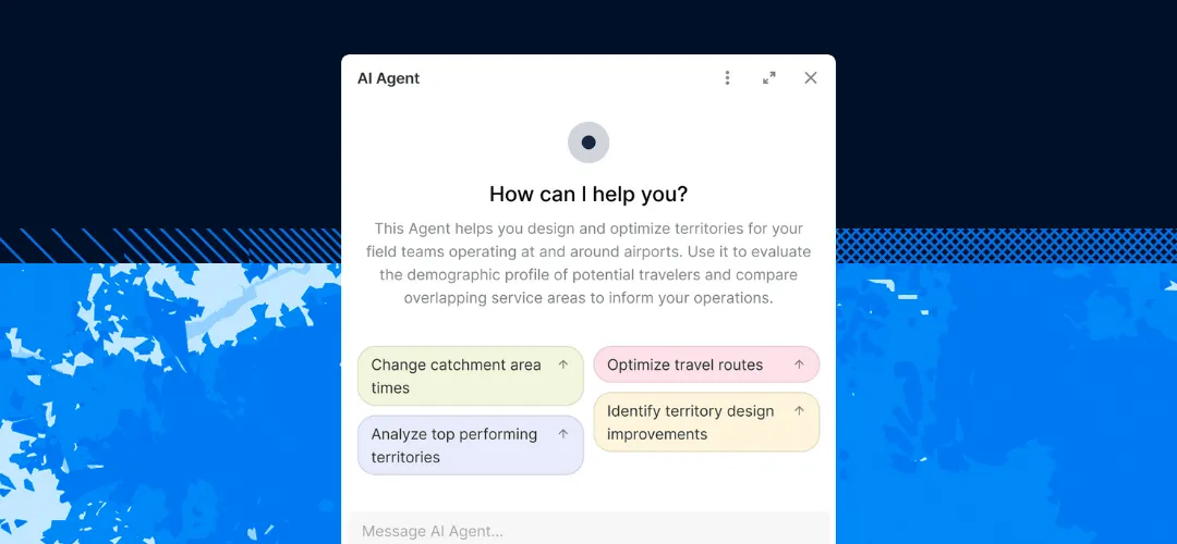
Supporting AI workflows
By running AI and machine learning pipelines directly inside the governed data environment, CARTO enables seamless querying and model training without duplicating sensitive data. This is critical for responsible AI adoption, as it ensures models are based on trusted data and their lineage is traceable.
Enabling collaboration and democratization
CARTO’s user-friendly interface, including no-code tools like Workflows, allows non-technical users to perform advanced spatial analysis without needing to export data or bypass governance controls. This empowers a wider range of users, from Business Analysts to Business Leaders, to make data-informed decisions while maintaining security and compliance.
How to Measure Your Governance Maturity
Download our latest report, “Spatial Data Governance in the Time of AI” to identify the metrics that will help you assess your organization’s current maturity and track your progress over time.
[
]()In the rush to harness AI for spatial analysis, it’s tempting to prioritize speed over structure. But to truly embrace this shift, your analytics demand trust, transparency, and control. By embedding spatial data into your core governance strategy, you build a foundation for AI that’s secure, auditable, and built to scale.