Importing Data using Drag and Drop
A guide about how to import data using the drag and drop functionality of CARTO Builder.

Who can use this feature?
-
 Every kind of role can use this feature.
 -
 Available on free and paid plans.
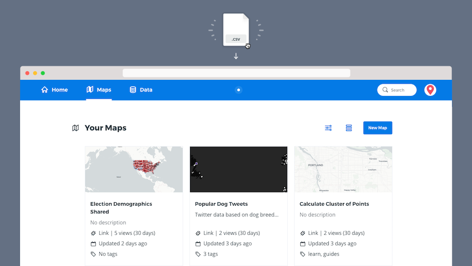
This guide describes how to easily import data from your computer to CARTO Builder by dragging and dropping a supported file type, such as a Shapefile, GeoJSON, or CSV.
 Drag and Drop. That’s all!
To import a new dataset, click and drag a supported geospatial file directly onto your dashboard from your computer.
If dragging to the Data page, the dataset is imported into your account. If dragging to the Maps page, a new map is automatically created after the dataset is imported to your account.
CHEATSHEET: Supported Data Formats
CARTO supports a large number of data types and file formats, including shapefiles, KML, GeoJSON, CARTO files, and more. For details about the type of data that you can import, see Supported Geospatial Data Formats.
It is highly recommended that you compress your files before importing them. CARTO supports .ZIP and .GZ (which includes .TAR.GZ and .TGZ) for compressing and archiving files.
If you are importing a non-supported file type, the import will fail. See Import Errors for a list of known error codes and solutions.
 What’s next?
To get a big picture about CARTO data management, you can continue reading Preparing and Formatting Data. The CARTO Glossary also contains useful definitions of all of the components, processes, and technologies regarding data management.
Tip: If you need to create an empty dataset, import from a URL, or connect with an external connector, click New Dataset from the Data page to open the Connect Dataset options. This provides more flexibility to import data, and includes options to sync with an external source and the import guessing functionality.