Platform Overview
Agentic GIS for scalable decision-making
Analyze, visualize and develop with spatial data, deploying AI Agents across your whole organization.

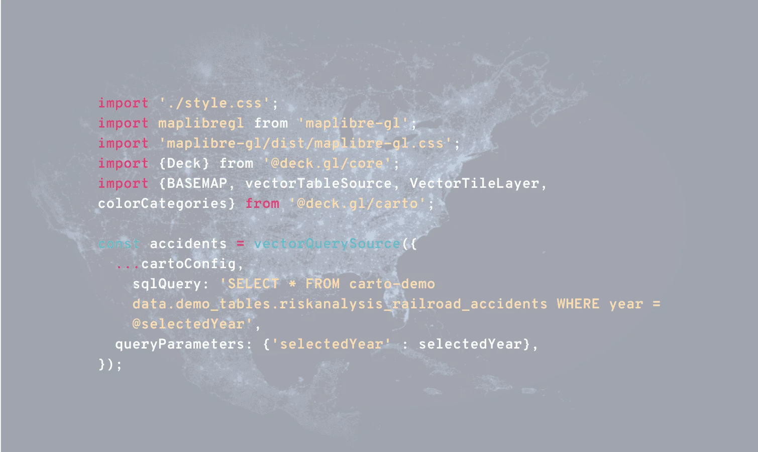
Cloud Native
Avoid data duplication & ETL processing time with data never leaving your data warehouse.
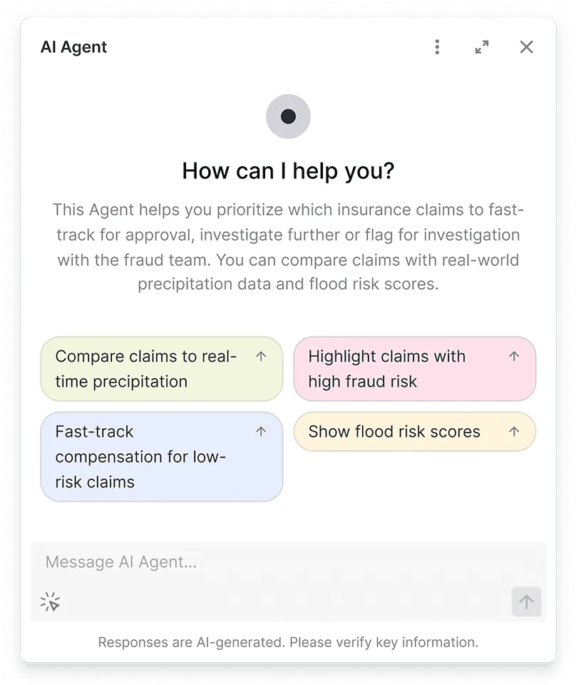
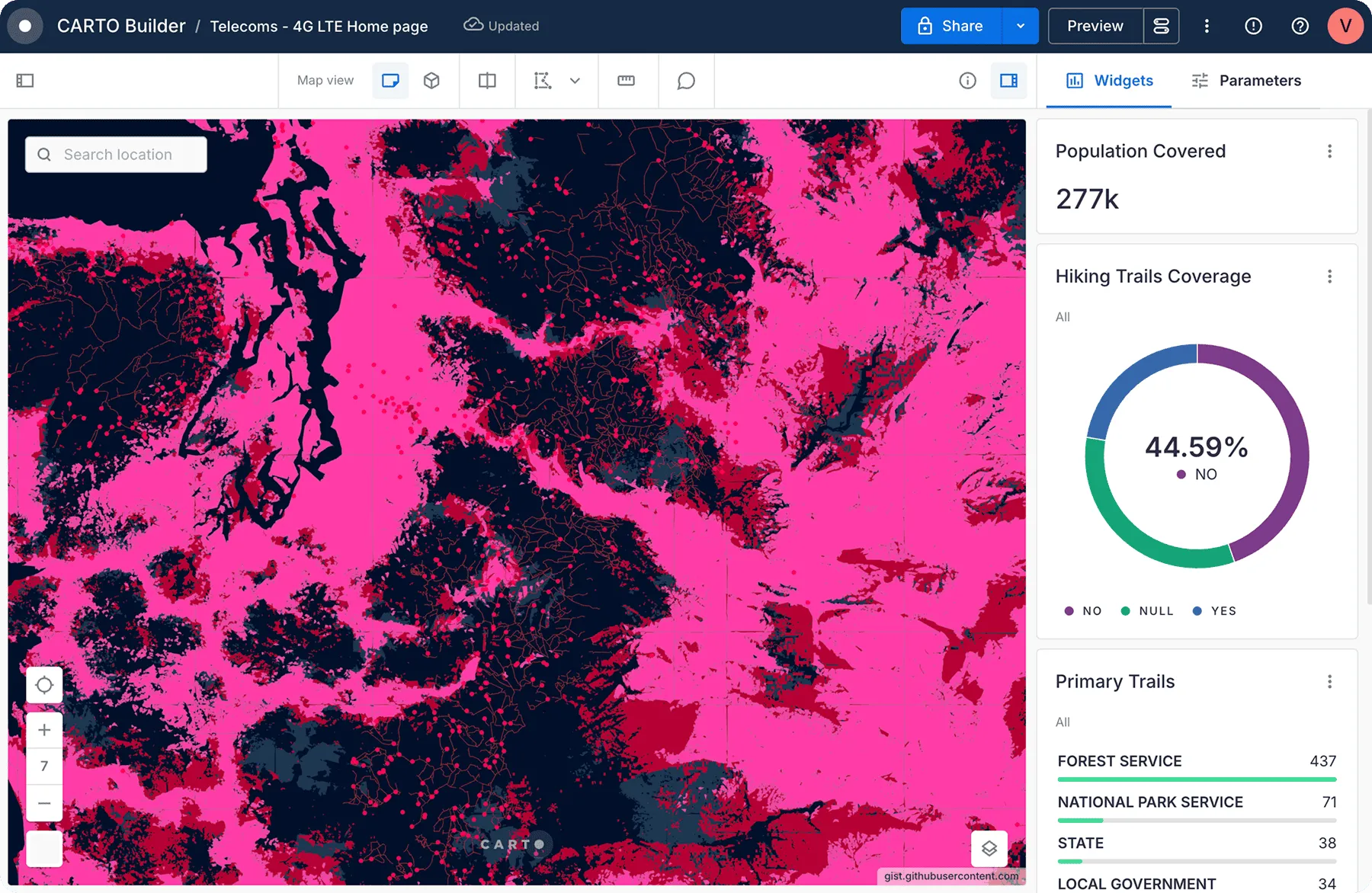
Spatial insights for all users
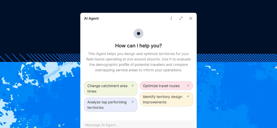
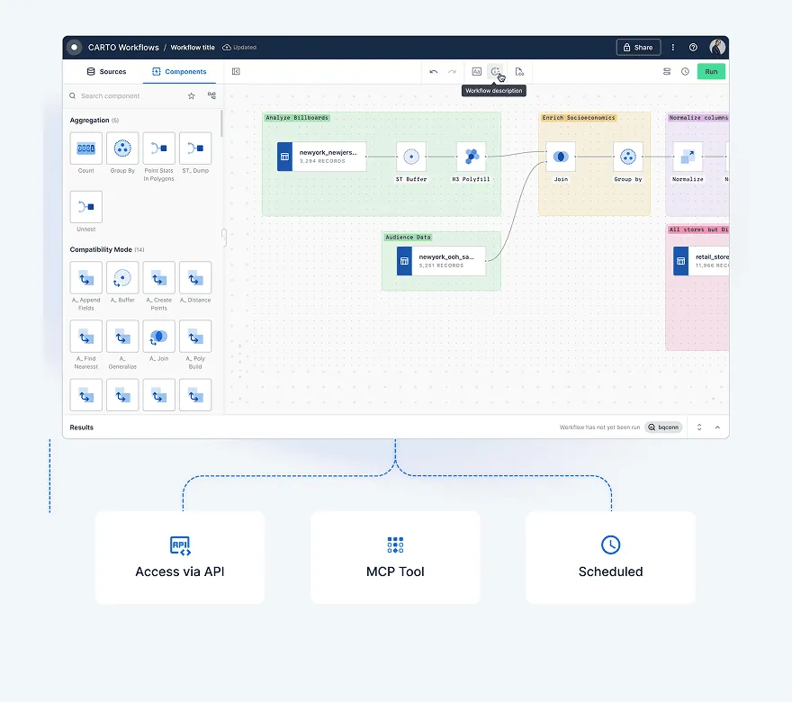
Build AI tools & agents to scale spatial insights across your whole organization.
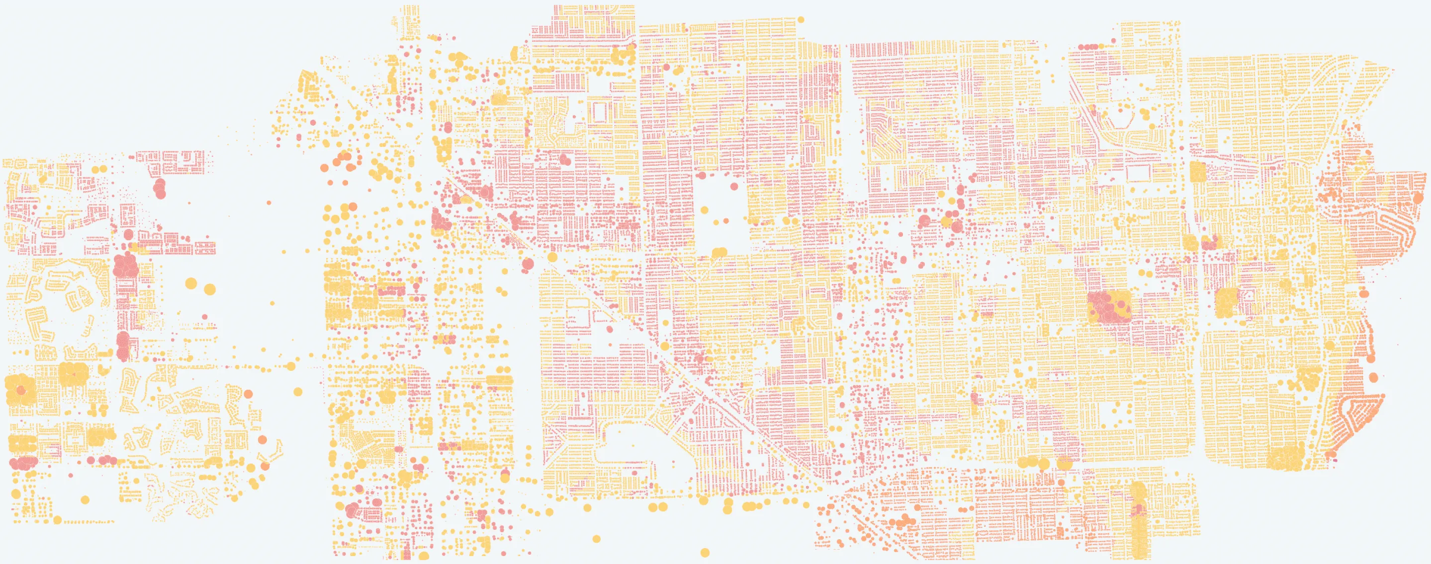
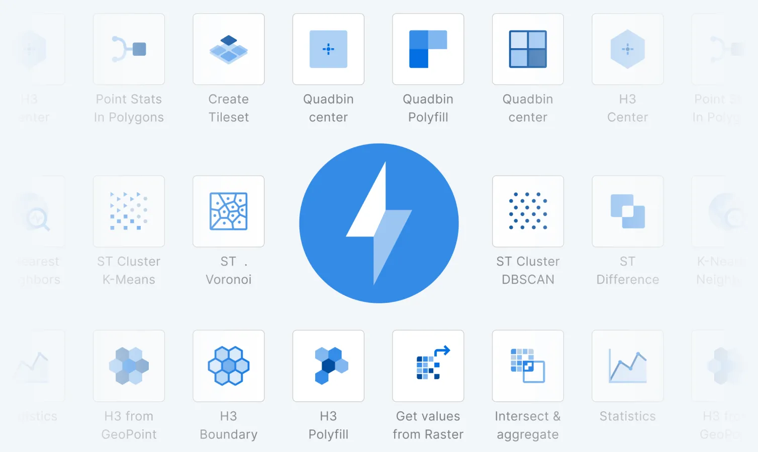
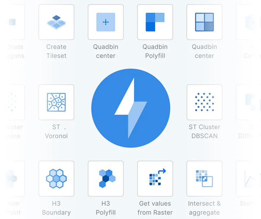
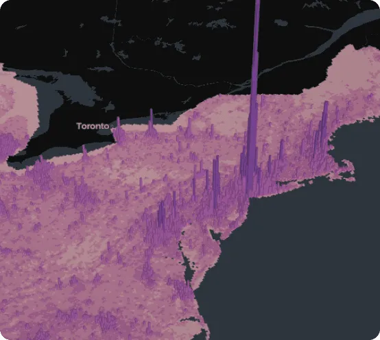
Scalability without limits
Experience unparalleled performance by analyzing and visualizing data at an enormous scale, in seconds.
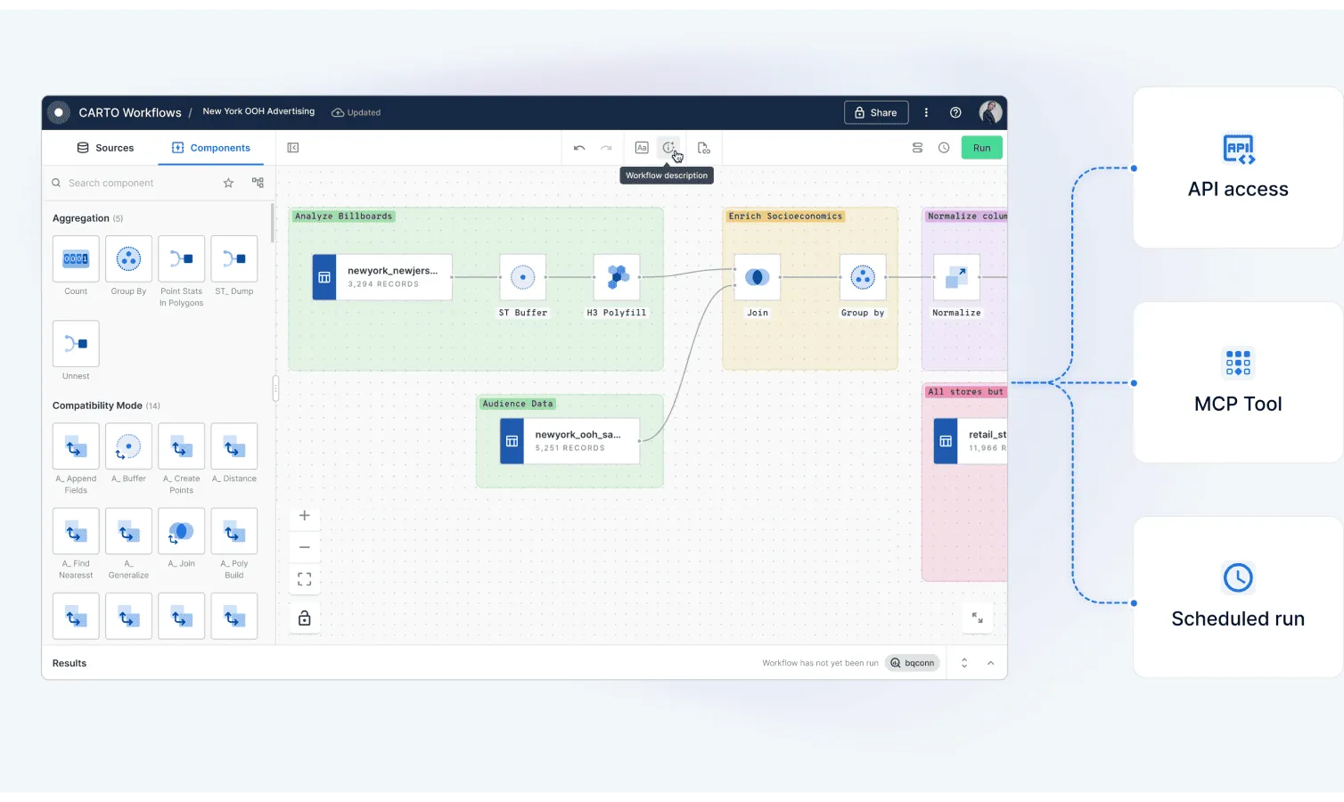
One Agentic GIS platform for all users
Streamline your tech stack with an end-to-end geospatial platform built for the enterprise. From data analysts to developers, CARTO has tools for everyone in your team.


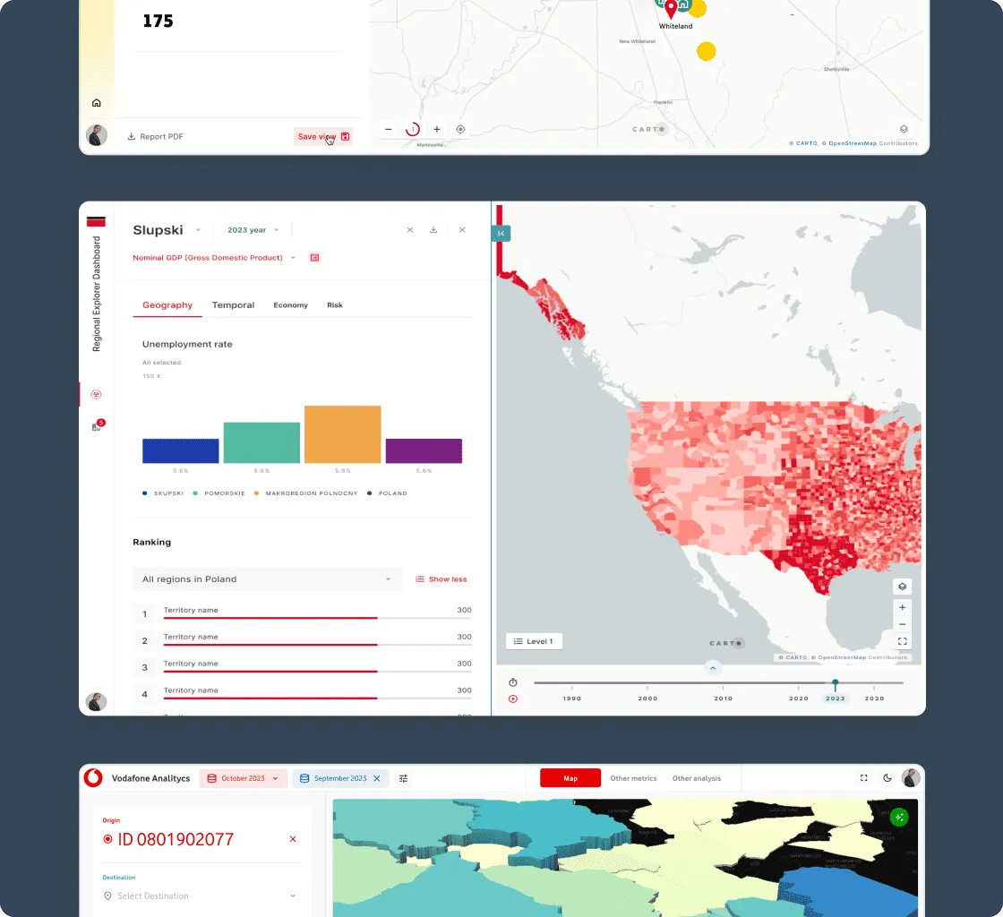
Get inspired by our customers
With CARTO's AI Agents, predictive growth insights move beyond data analysts and into the hands of every decision-maker. Now, anyone can ask our data questions like 'Which neighborhoods will grow fastest?' and get instant answers - speeding up site planning and providing a real competitive edge.


At EQT, we constantly seek ways to enhance the strategic value of our investments and improve decision-making. CARTO has been a game-changer, with their cloud-native platform, seamless data integration, Builder for visualization and Analytics Toolbox making it much easier for us to assess investment opportunities and provide strategic advice to our portfolio companies.


Need some help to kick-start your geospatial project?


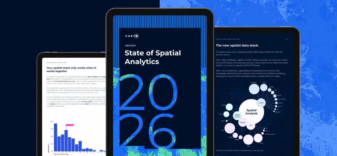
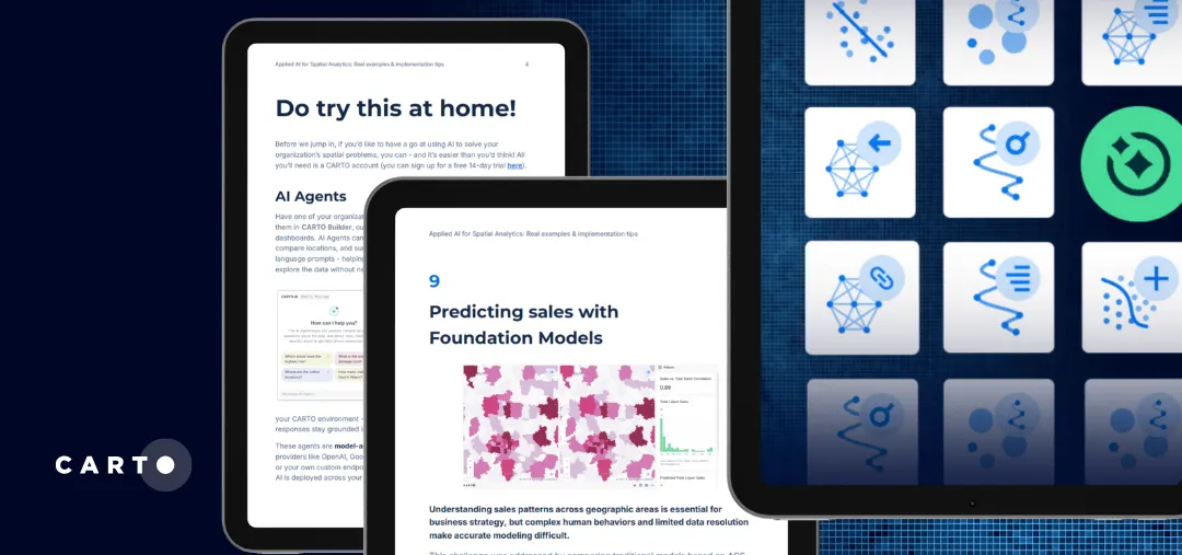
Related content