

Use cases


How Vodafone & CARTO are providing Location Insights at MTV Music Week Bizkaia
Vodafone & CARTO are partnering to provide Location Insights at MTV Music Week Bizkaia
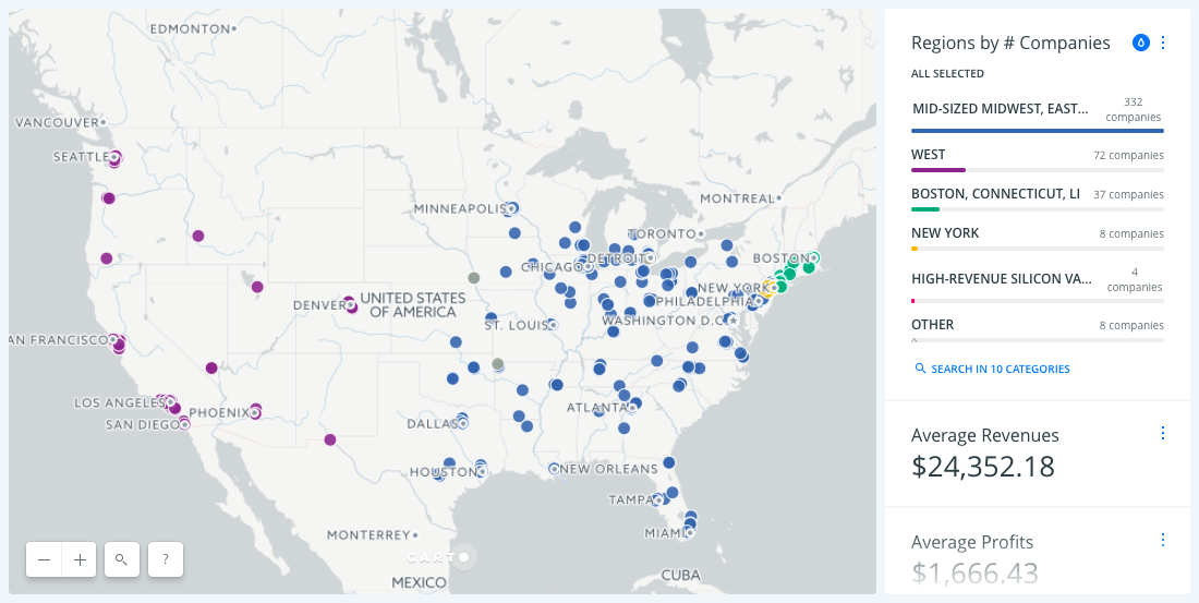
A Better Approach to Sales Territory Management Using Spatial Clustering
Using a spatially constrained clustering analysis, we show you how sales teams can think differently about their sales territories.

Map of the Month: City Health Dashboard
Using the City Health Dashboard, city leaders are empowered by local data, and the tools to visualize and analyze that data to improve citizen health in 500 American cities

7 Maps Deriving New Insight From Mobile Data
5.1 billion people own a cell phone. That ubiquitousness, coupled with innate connectivity, that makes mobile devices, and the data generated by them, the world's most powerful tool for understanding people.

3 Ways Maps Can Transform Your Digital Marketing Campaigns
In our rapidly evolving online world, digital marketers constantly have to find new ways to make sure their campaigns are reaching the right people with the right message.
4 Simple Steps Enigma Took to Turn Public Data into Insight
Enigma launched the first public sanctions tracker, a website that visualizes and contextualizes changes to the US sanctions program. See how they took thousands of data points and transformed them into insight.

Drive Omnichannel Retail Success with Location Intelligence and New Data Streams
Location Intelligence techniques and new data streams serve to improve omnichannel strategies, bolster brick-and-mortar retailers embracing change, and bring previously online-only sellers to establish storefronts of their own.


How Location Data is Helping Solve Water Insecurity
Learn how Location Intelligence is helping solve water insecurity around the world using location data.

Three Ways Retailers Increase Revenue with Location Intelligence
Retailers are gaining more and more data about their customers, but making informed business decisions with that data has proven difficult and expensive.

40 Brilliant Open Data Projects Preparing Smart Cities for 2018
In our updated list, discover how local governments around the world are preparing smart cities for 2018 using open data!

Academy


CARTO & Snowflake: Location Intelligence for Energy and Utilities
CARTO and Snowflake expanding cloud-native Location Intelligence for Energy and Utility organizations, unifying IoT data for resilient operations.
Nagarro & CARTO: Advancing Enterprise AI Transformation
CARTO and Nagarro partner to help enterprises move AI from pilots to production, embedding Location Intelligence into existing workflows and systems.


Unlock trade-area analysis at scale with H3 Isochrones
Scale travel-time analysis with H3-based isochrones in CARTO. Faster joins, overlap insights, and 96–99% time savings powered by TravelTime.