AI Agents are only as good as their understanding of your data. CARTO brings semantic models to AI Agents, with spatial context no other layer provides.
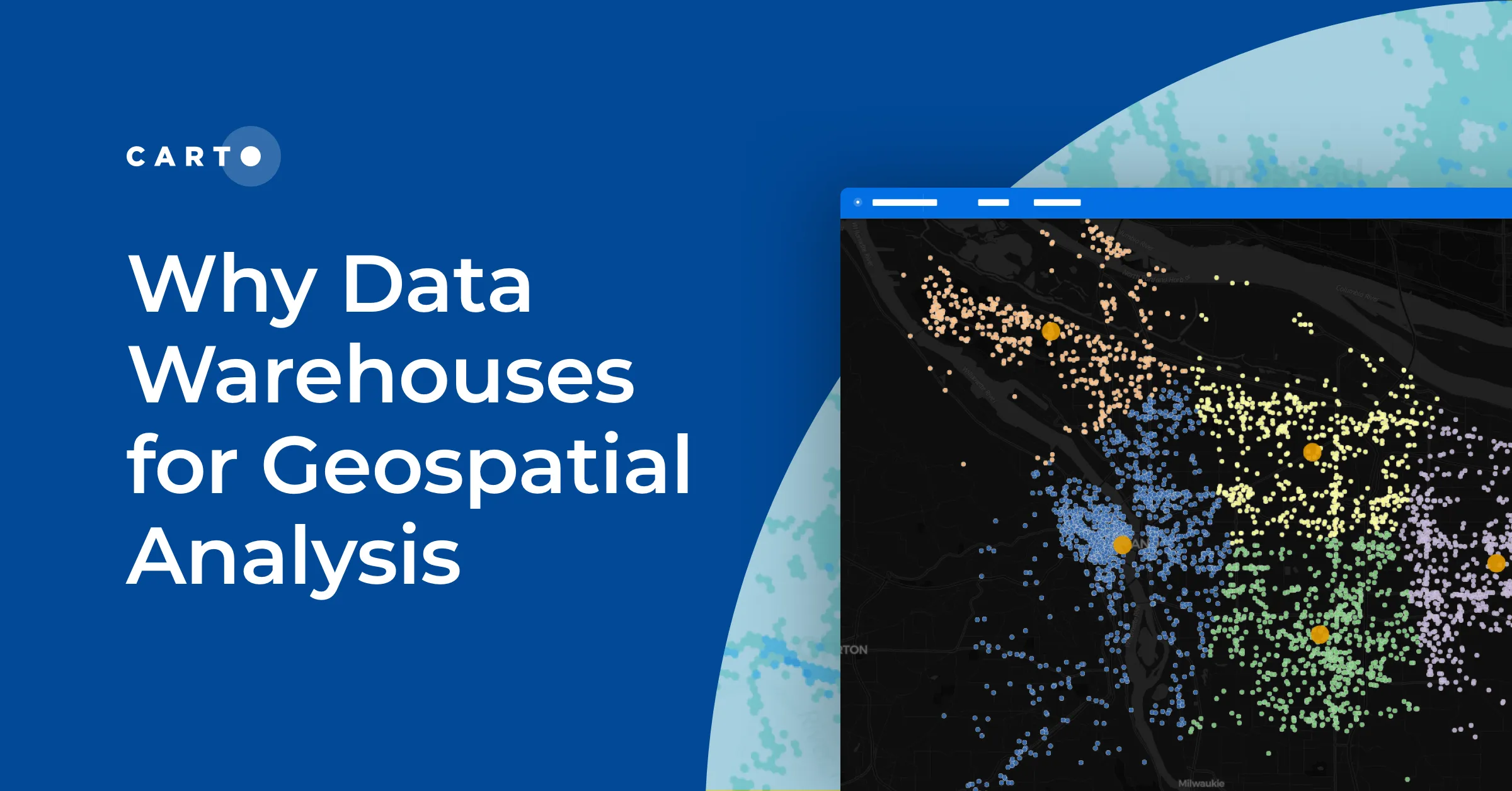
Cloud-native geospatial means your spatial analysis runs inside your data warehouse, with no data copies. See why it is also the foundation for Agentic GIS.
How coding agents can now scaffold full CARTO + deck.gl apps (dashboards, story maps, and AI-first experiences) from a single prompt, with CARTO handling performance and governance.
Where does my data live with CARTO? Inside your own cloud data warehouse. See how cloud-native GIS works across hybrid and multi-warehouse environments.
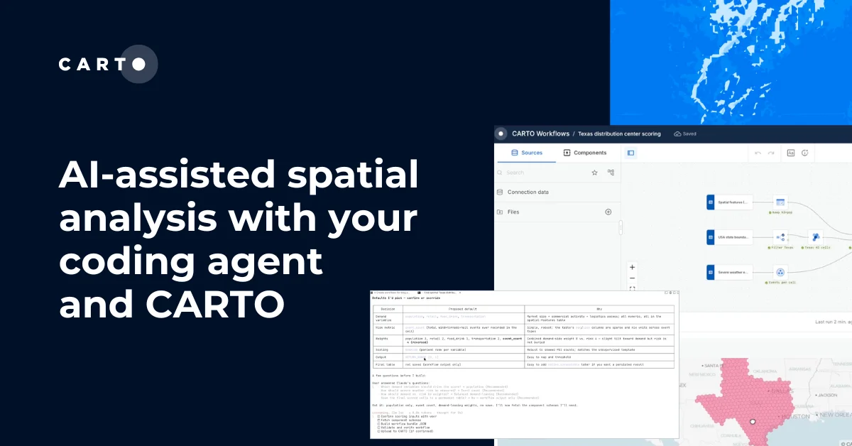
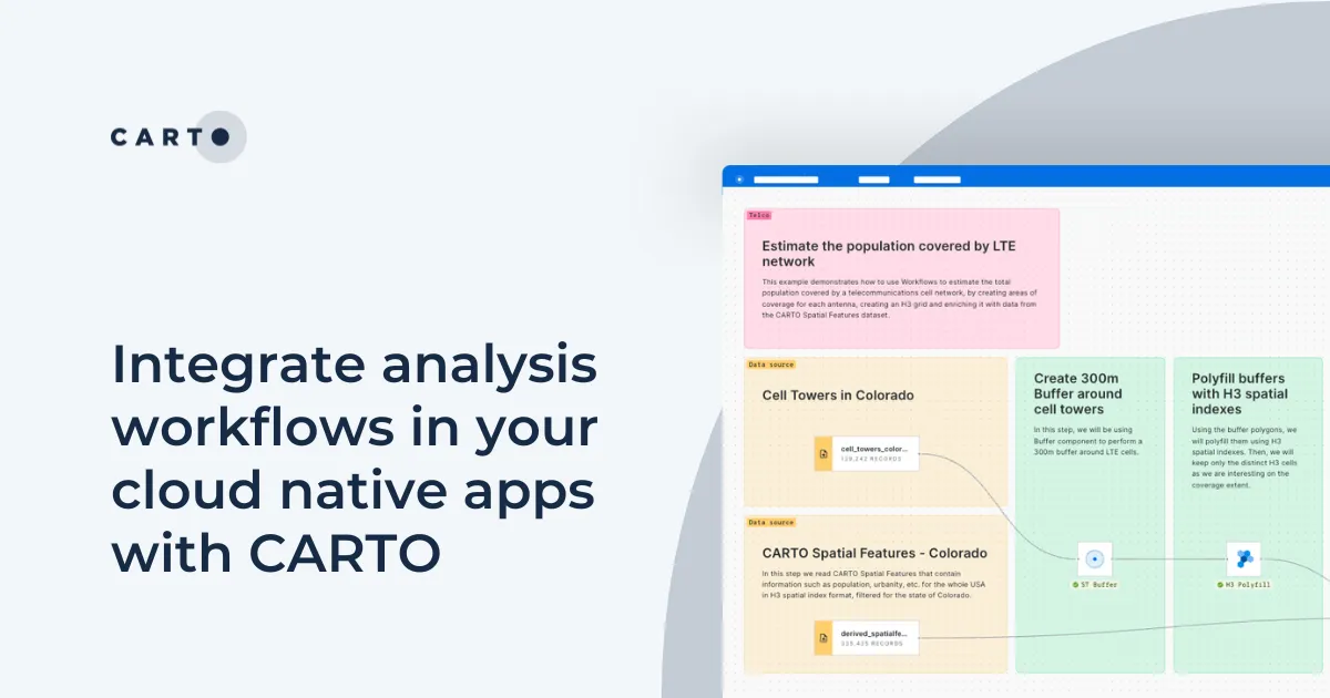
Coding agents can now design full CARTO Workflows from a prompt: multi-step, auditable, and ready to share. Here's how CARTO Agent Skills make it work.
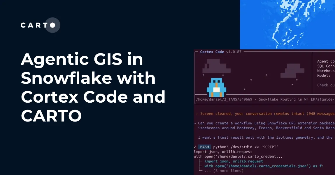
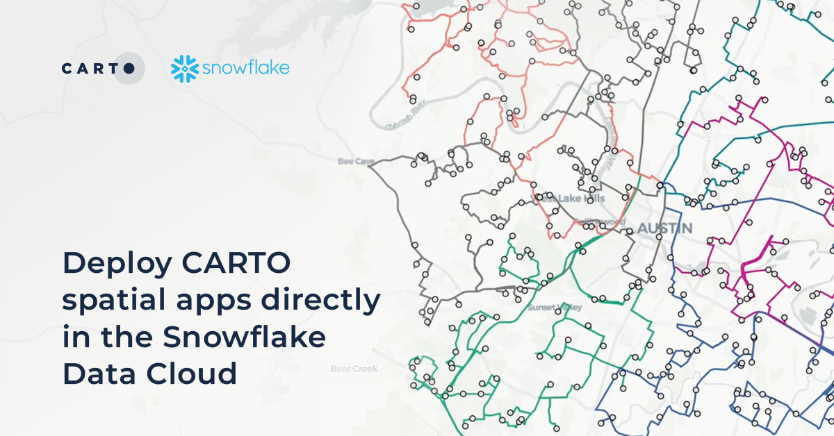
How CARTO for Agents integrates with Snowflake Cortex Code and Snowflake Intelligence to bring full agentic GIS, maps, workflows, and spatial apps inside your Snowflake environment.
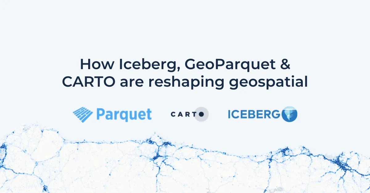
One year after Iceberg V3 was approved, we tested which engines can actually read, query, and prune native geometry. Snowflake and Databricks now deliver it end-to-end, DuckDB is close, and a CRS-consistency gap is emerging across engines.
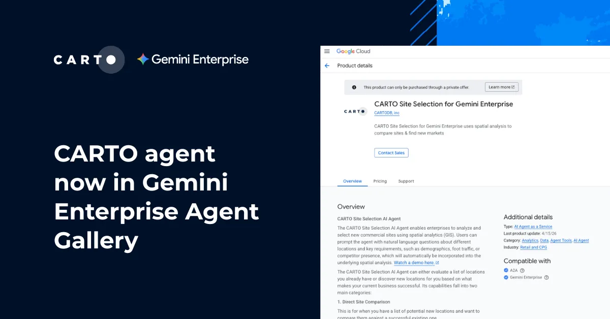
CARTO's Site Selection AI Agent is now available in the Agent Gallery inside the Gemini Enterprise app, vetted for security, accuracy, and enterprise scale.
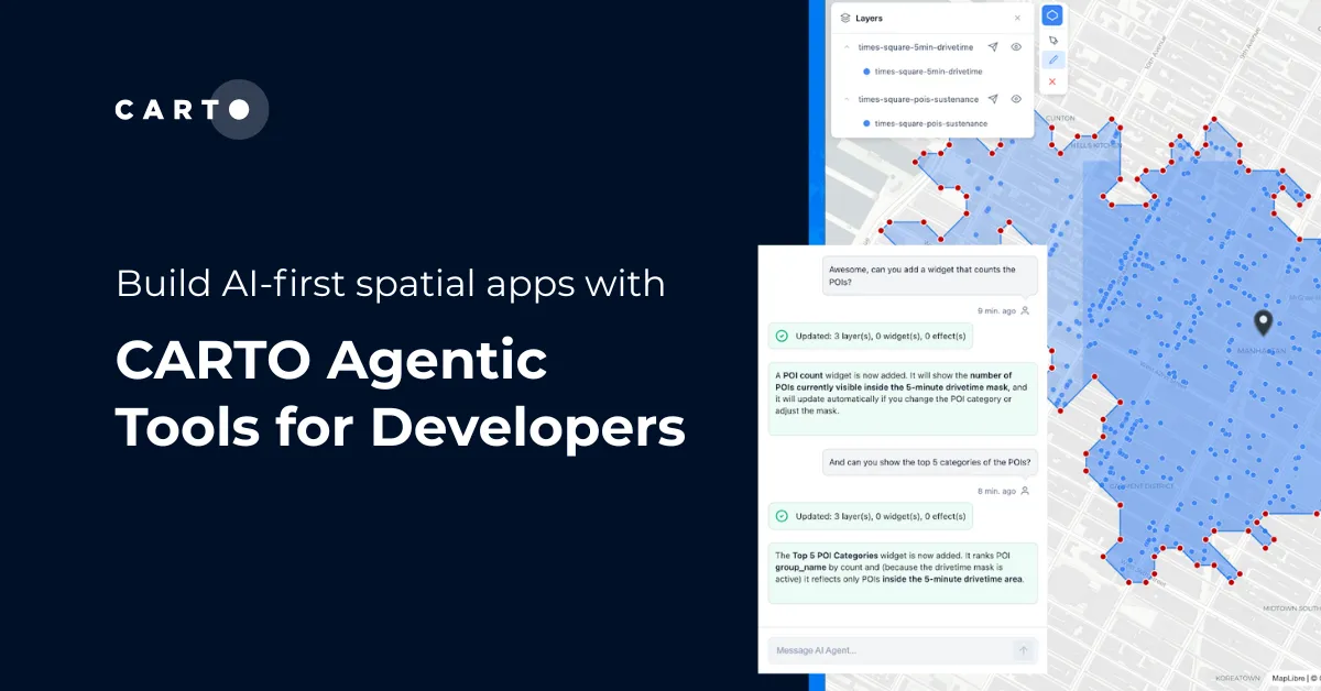
CARTO's new open-source Agentic Tools library gives any AI Agent full control over a map: layers, styling, analytics, and spatial filters, through standard tool calls.
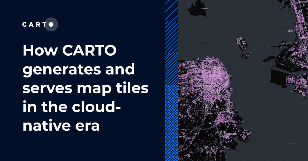
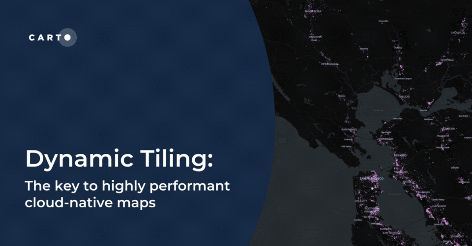
A technical look at how CARTO generates, serves, and improves map tile performance today: from dynamic tiling against cloud data warehouses to pre-generated tilesets and spatial indexes.
Unlock true geospatial sovereignty. This guide explains why a modern tech stack is not enough and how to build a legal and governance framework for your data.
Geospatial sovereignty in the AI era: why open formats, flexible compute, and interoperable standards are key to resilient, independent digital infrastructure.
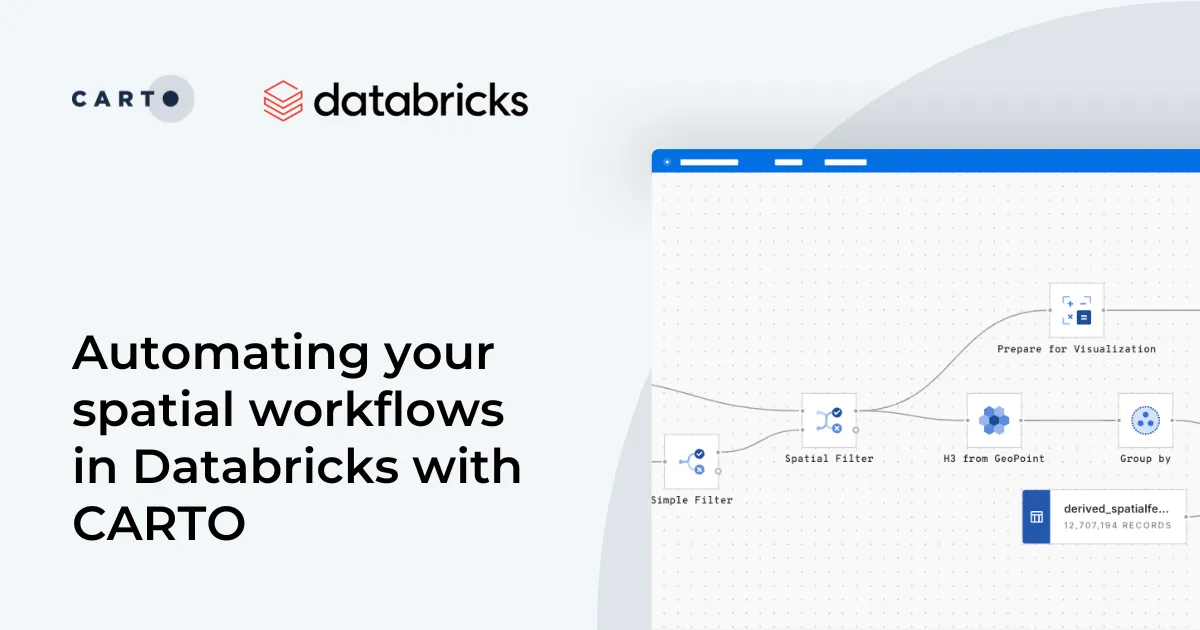
Automate your geospatial workflows in Databricks with CARTO. Schedule, trigger, and integrate spatial data processes seamlessly using Databricks Workflows.
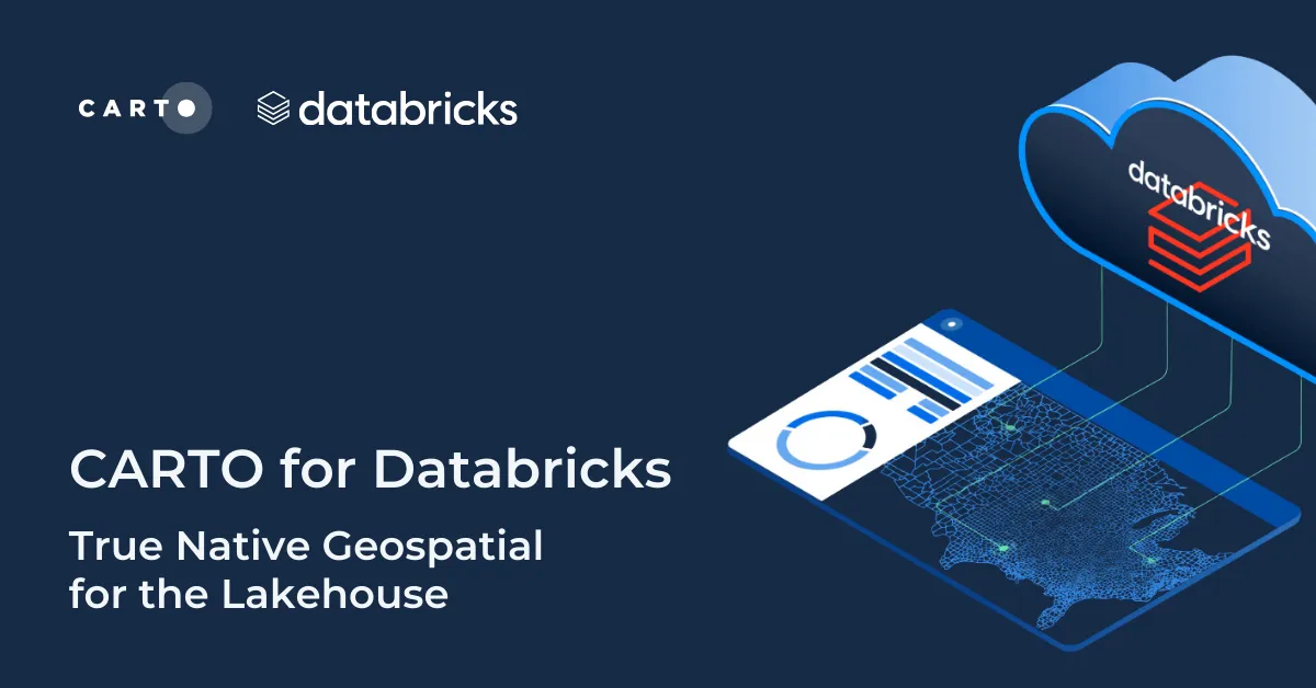
Discover CARTO's integration with Databricks, empowering users with native geospatial analytics for enhanced Location Intelligence and streamlined workflows in the Lakehouse.
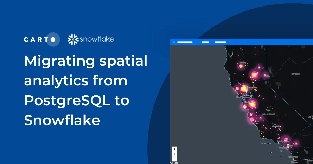
Discover seamless migration steps from PostgreSQL to Snowflake for advanced spatial analytics. Unleash the power of CARTO for scalable, performant workflows.
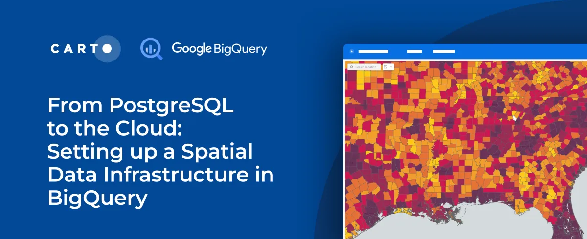
As cloud-based architectures gain momentum, read our step-by-step guide to migrating PostgreSQL spatial data and analytics workflows to Google’s BigQuery.
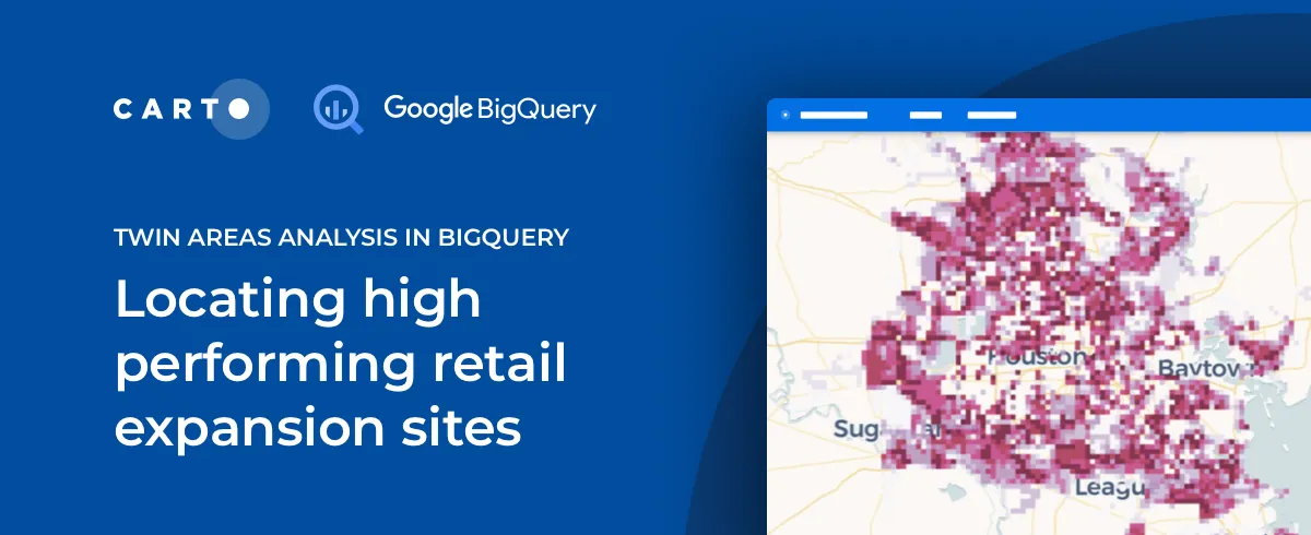
The Retail module in our Analytics Toolbox for Google BigQuery now includes Twin Areas analysis, an essential tool in Site Selection analytics. Learn more.
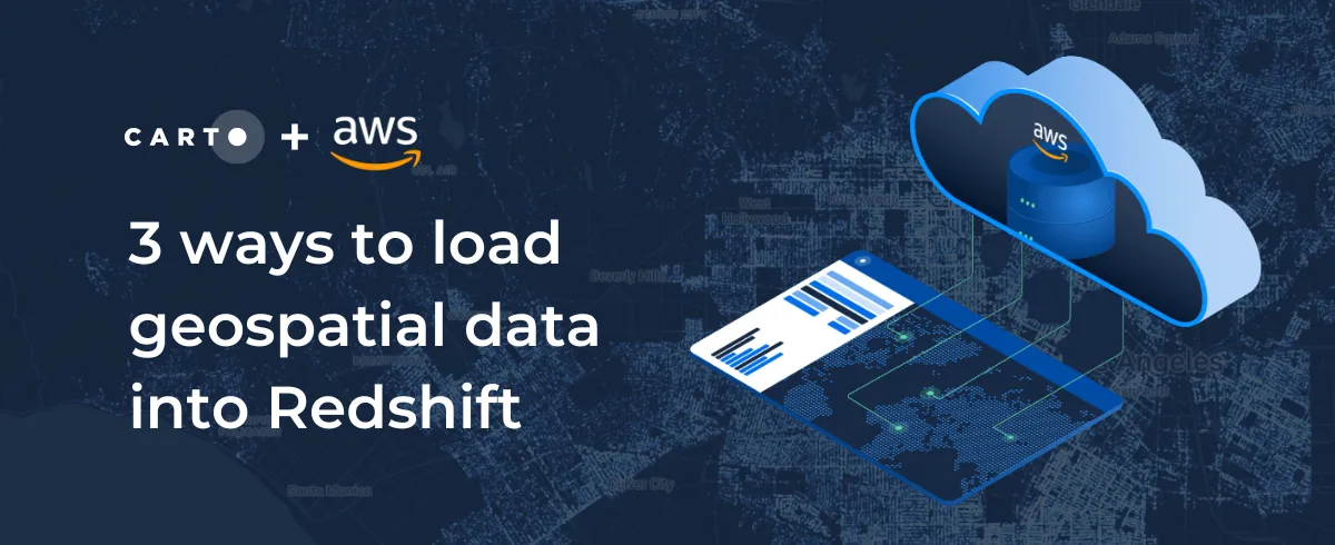
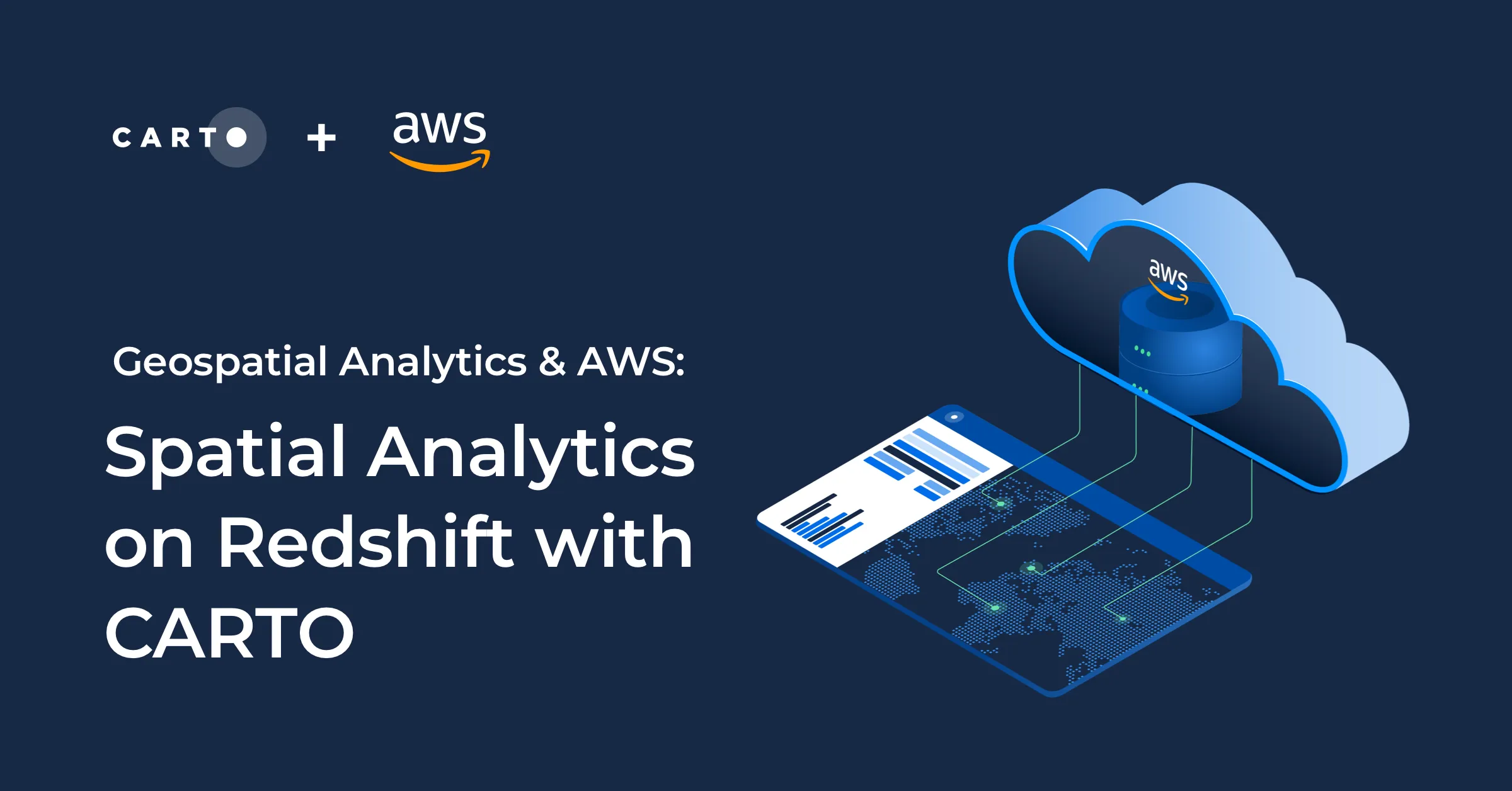
We are excited to announce CARTO's Spatial Analytics in Redshift. Discover how to leverage the geospatial capabilities of Redshift & sign up for a free trial today!
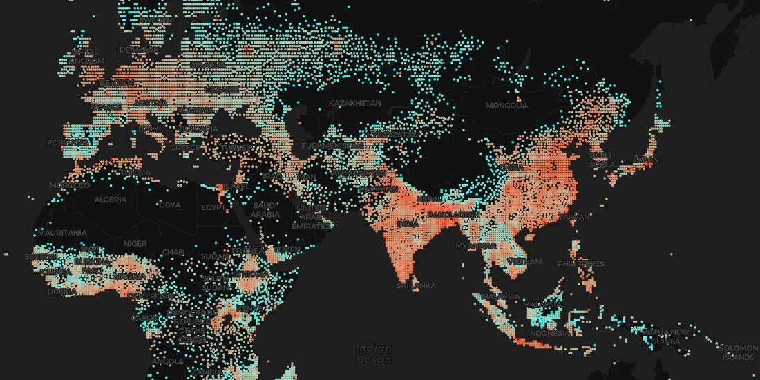
With thousands of spatial datasets available in the Data Observatory learn how to perform data enrichment directly on your cloud data warehouse platform
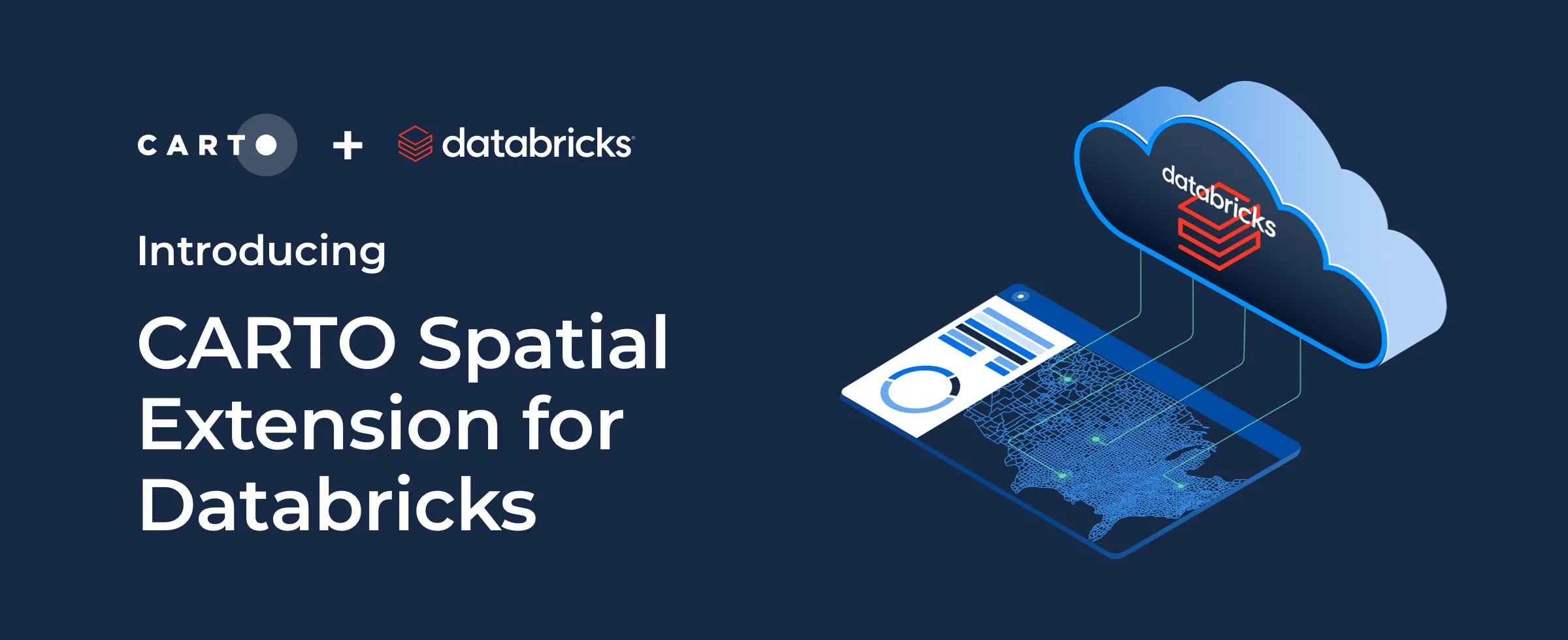
We are excited to announce CARTO Spatial Extension for Databricks. Discover how to extend the geospatial capabilities of Databricks & sign up for a free trial today!
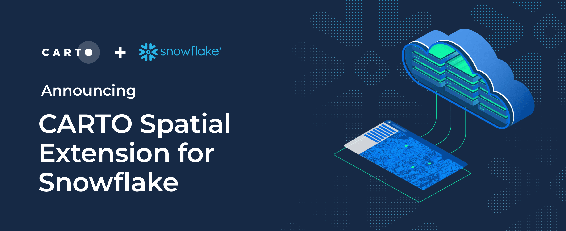
We are excited to announce CARTO's Spatial Analytics in Snowflake. Discover how to extend the geospatial capabilities of Snowflake & sign up for a free trial today!
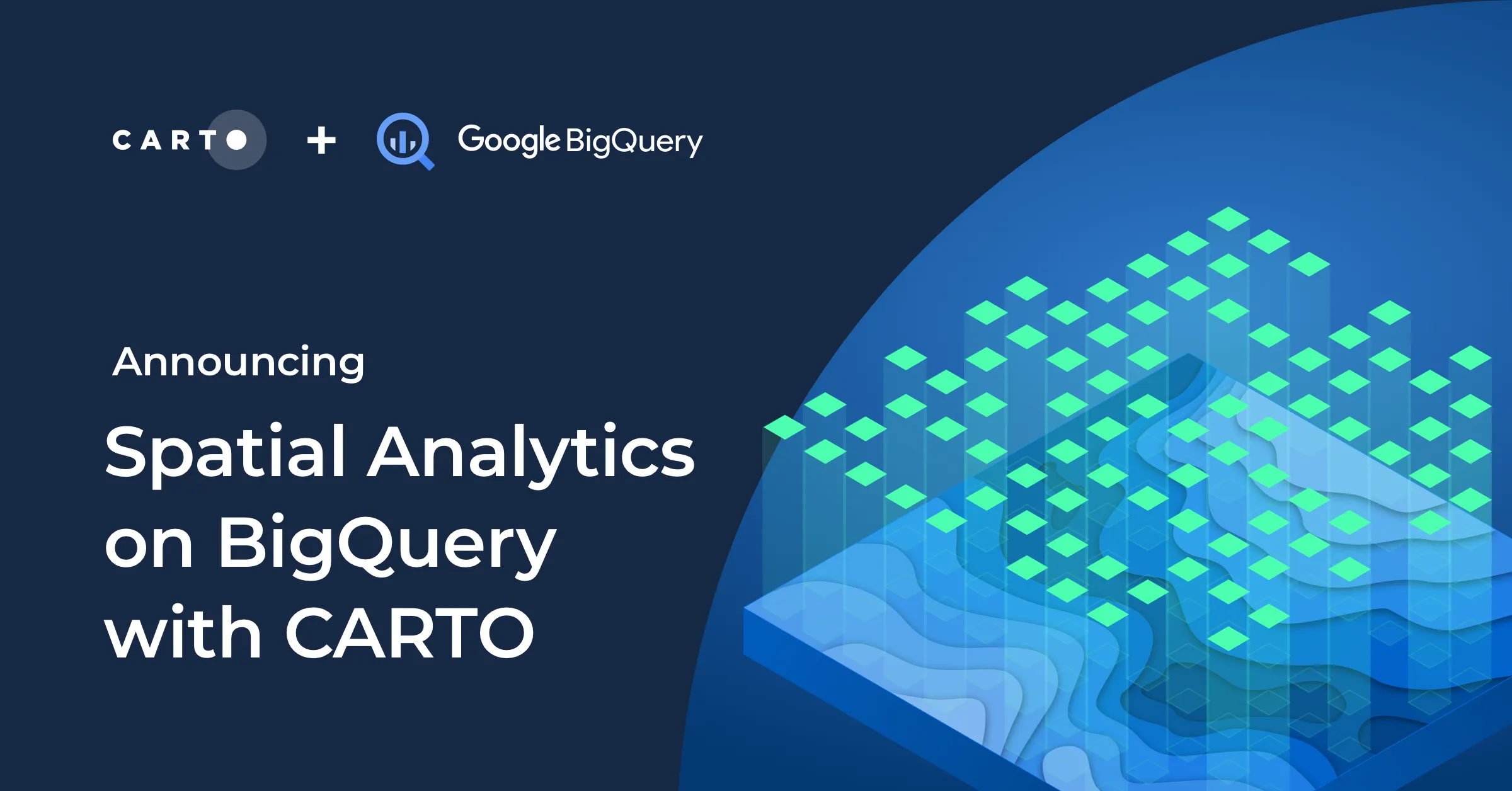
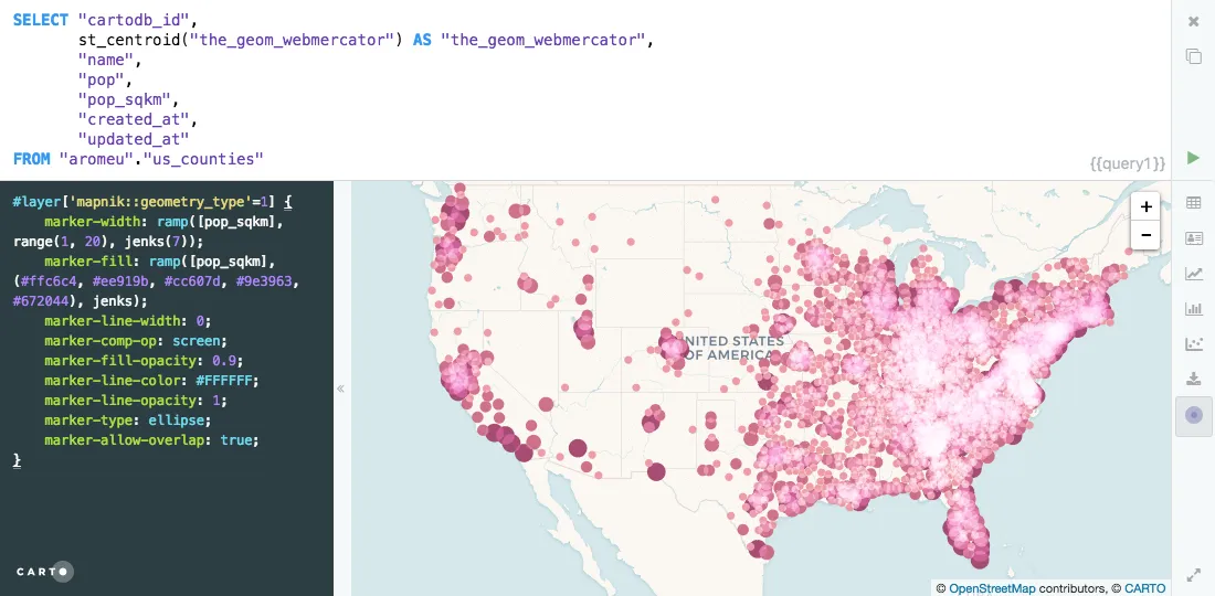
Today we announced at Google Cloud Next the General Availability of the new CARTO's Spatial Analytics in BigQuery. Learn more about the most innovative platform to perform spatial analytics natively in the cloud.
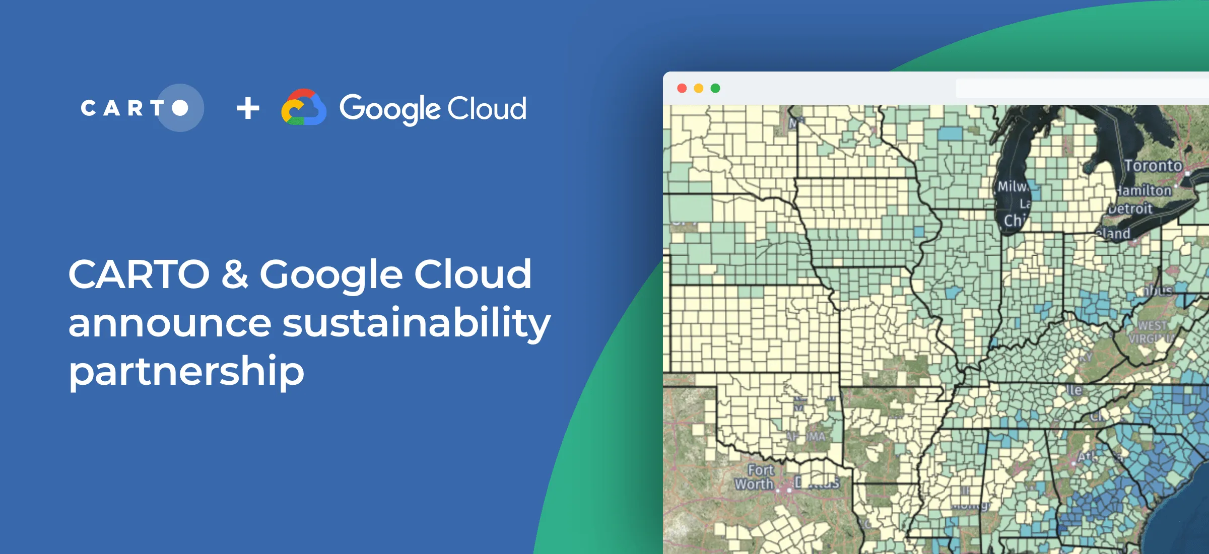
CARTO & Google Cloud announce a sustainability partnership to enable organizations to better understand climate change through massive geospatial datasets.
As part of our commitment to enabling geospatial analysis natively within the cloud, today we announce the launch of our Spatial Analytics on Snowflake with CARTO!
As part of Google Cloud’s initiative to bring partner solutions to the network edge, we’re delighted to announce CARTO has been listed as a strategic partner.
We are excited to introduce the CARTO Spatial Analytics in BigQuery, a suite of functions & procedures to perform spatial analysis natively within the Google BigQuery environment using SQL
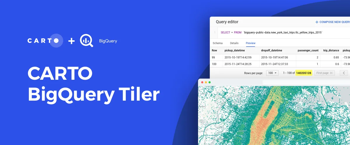
We are excited to announce the general availability of CARTO BigQuery Tiler, a unique solution for visualizing massive spatial datasets hosted in Google BigQuery
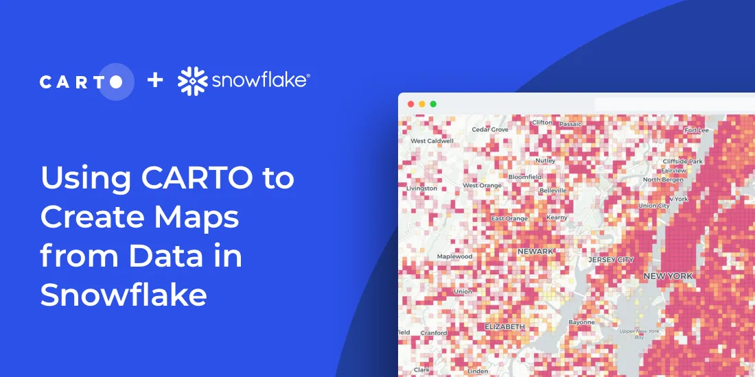
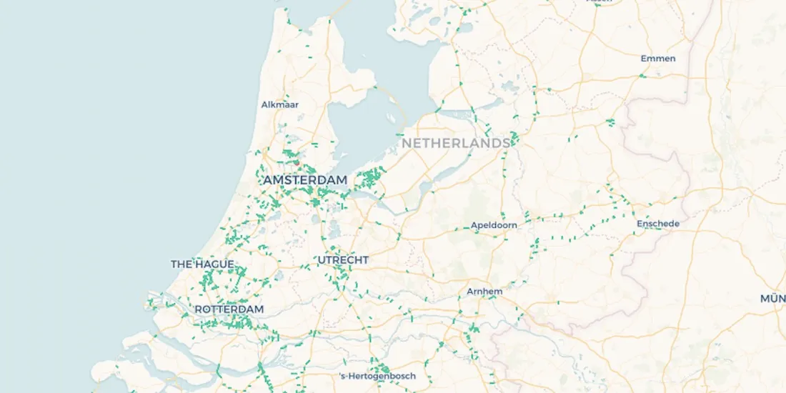
Import millions of records from a Snowflake database using our new connector & create insightful visualizations. How to combine Snowflake data warehouse & CARTO
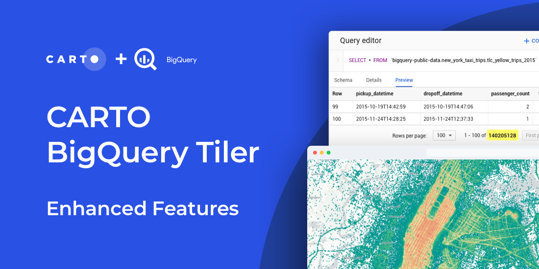
Read about new features to CARTO BigQuery Tiler: the fastest, most convenient, & cost effective way to visualize spatial Big Data & generate Tilesets for the web
Learn more about our integration with Placekey, enabling universal standard identifiers for any physical place to be used with spatial analysis & visualization.
Snowflake users can now easily import large spatial datasets from the cloud into CARTO, becoming the first Location Intelligence platform with native support.
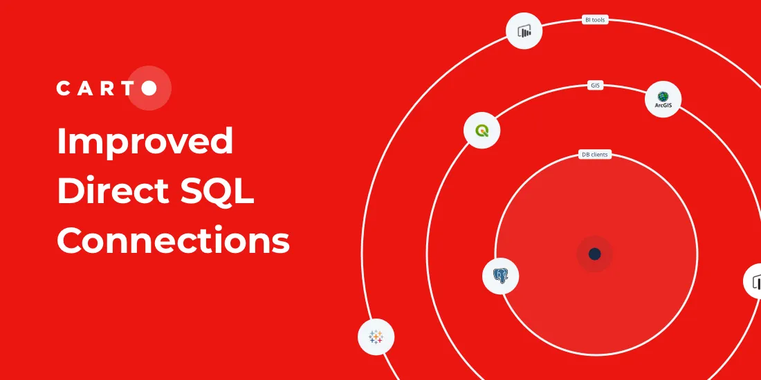
Our Direct SQL Connector now allows easy connection to apps such as Tableau & Power BI using native PostgreSQL connectors, & from SaaS solutions, such as Looker
Discover CARTO BigQuery Tiler, the only solution to visualize large location datasets straight out of Google BigQuery. Start creating stunning maps in minutes.
Following the introduction of the Direct SQL Connection read how Databricks can be integrated into the CARTO platform to further empower Data Scientists.
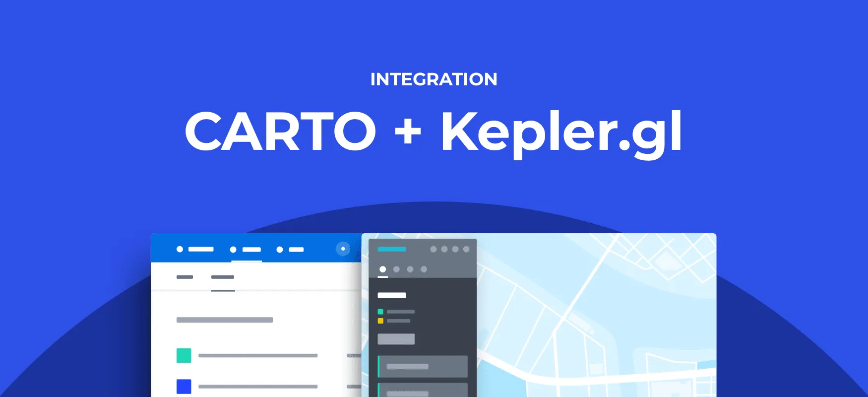
Kepler.gl and CARTO users can now work seamlessly across both tools. Our integration adds a new cloud storage feature to Kepler.gl, allowing users to share and save maps privately using CARTO.
Celebrating the top stories, tips and tricks, tech updates, and of course, cool maps from around the worlds of Location Intelligence and Spatial Data Science
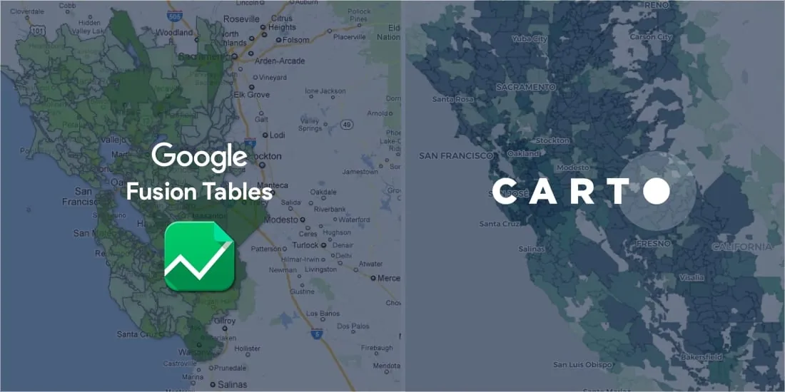
If you're trying to find a Google Fusion Tables alternative, CARTO has you covered. Keep mapping and much more with our full stack Location Intelligence platform.
CARTO is working very closely with the Google BigQuery team, bringing in new spatial functions and supporting the creation of a next generation spatial data infrastructure stack.
In order to achieve our plan of being the leading location intelligence platform, we continually invest in our infrastructure to provide the best service to our client. Today we are telling a success story about how we revamped our configuration management system
In order to meet our users' increasing performance needs, during the following weeks we will be upgrading our software stack to be based on PostgreSQL 11 and PostGIS 2.5.
Explore features, Histogram widget enhancements, Time Series widget, and seamless CARTO VL integration. Elevate your Location Intelligence with Airship 2.0.
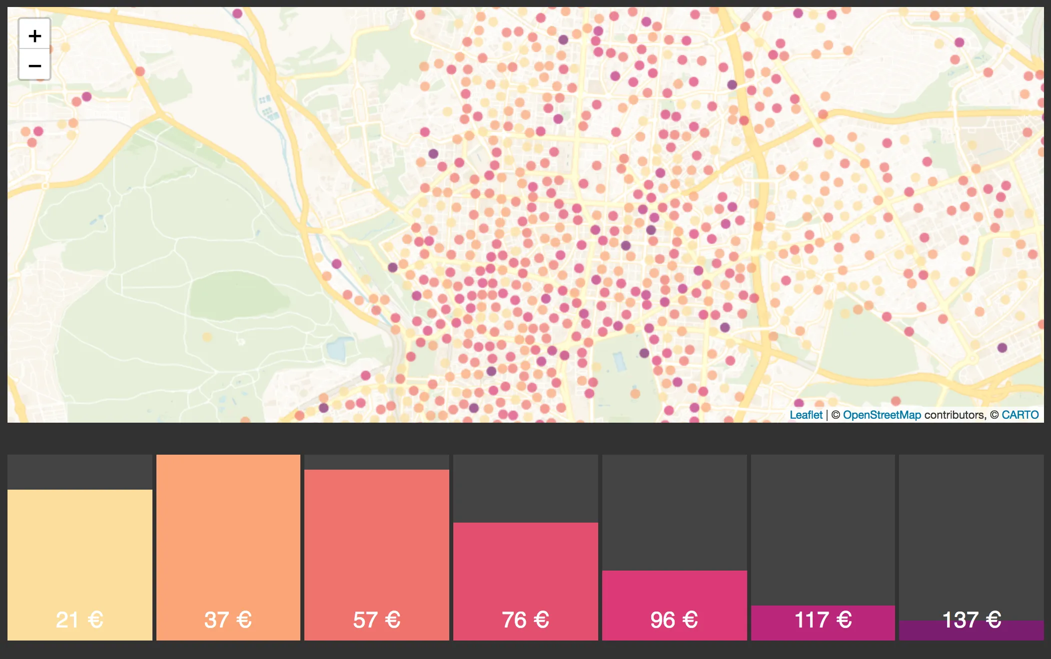
New feature: cluster labels View this example CARTO VL aggregation functions provide a variety of methods to extract different values from your datasets.
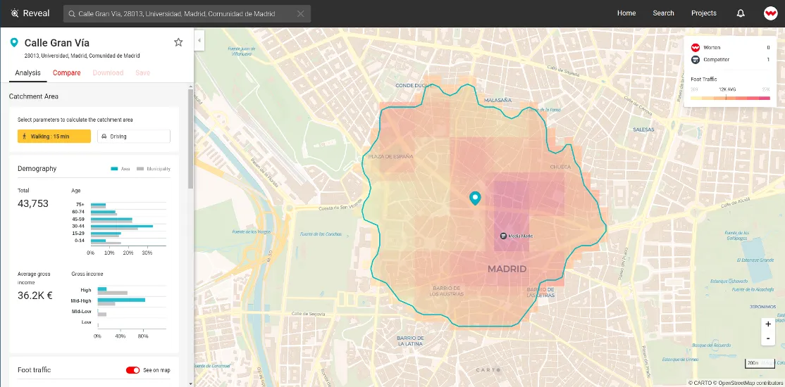
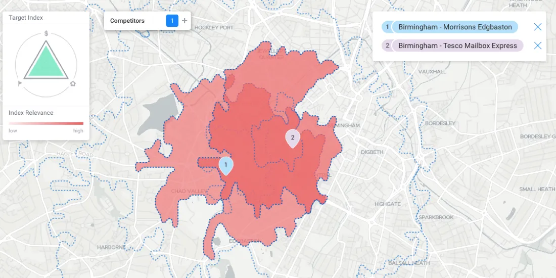
Today we announce the latest release of our Reveal solution an application for Retailers and Real Estate firms to drive smarter location decisions for.
As the world watches the results of Americans heading to the polls this November 6th a number of options are available to them to see an track election.
Explore the significant events of 2012 in the world of maps, from Google's charging to OpenStreetMap's rising influence. Exciting times ahead for online mapping
Alastair Coote a web developer currently living in New York is writing a series of posts about the development of Taxonomy a taxi assistant app he made.
Explore DontFlush.me, an app from #ecohackNYC utilizing CartoDB to track sewage overflow in NYC waterways. Data and mapping address environmental challenges.
With Airship, designers and developers can generate styles, interactive elements, typography, and many more design elements optimized specifically for location applications
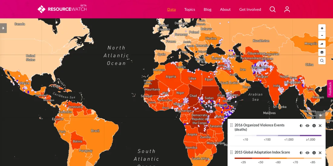
Recently, the World Resources Institute, along with more than 30 partners including CARTO, launched Resource Watch, which is in many ways the epitome of connectographic environmentalism.
We held an internal hackathon to demonstrate some of the functionality of our updated Javascript library. Check out what our developers and designers came up with!
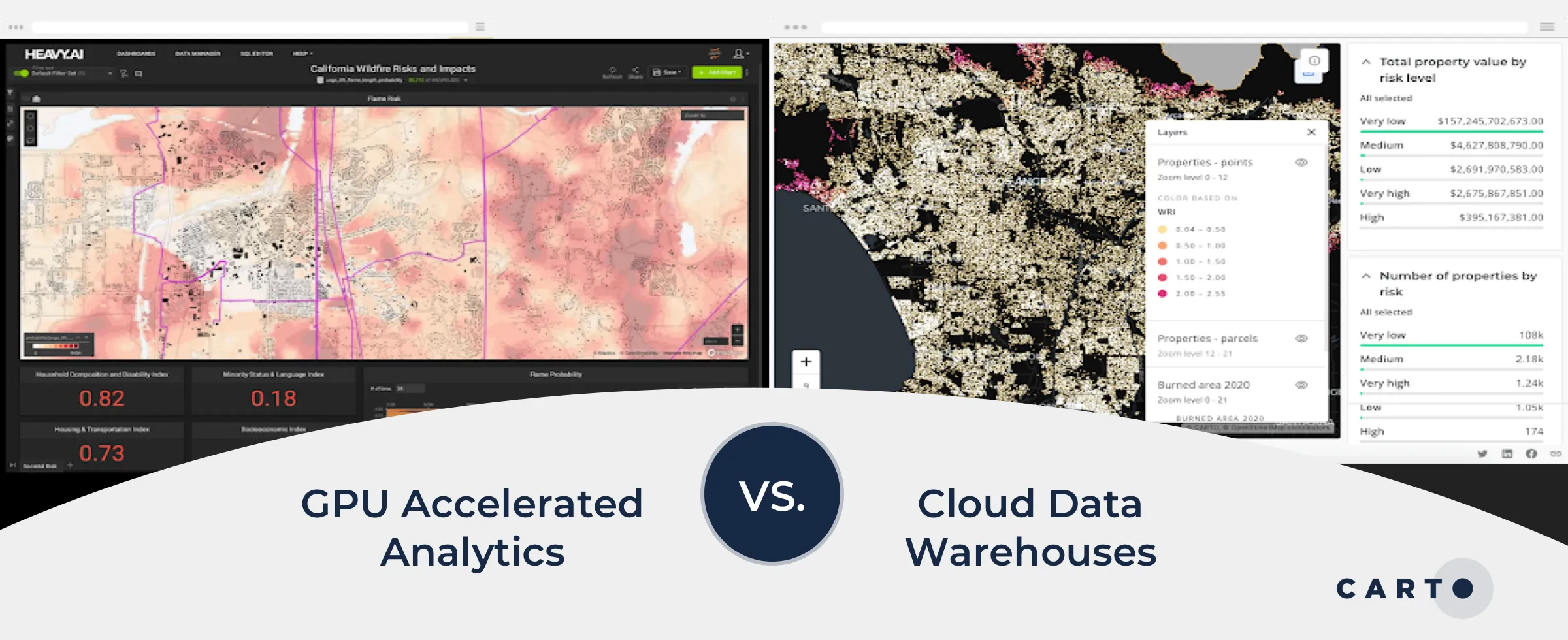
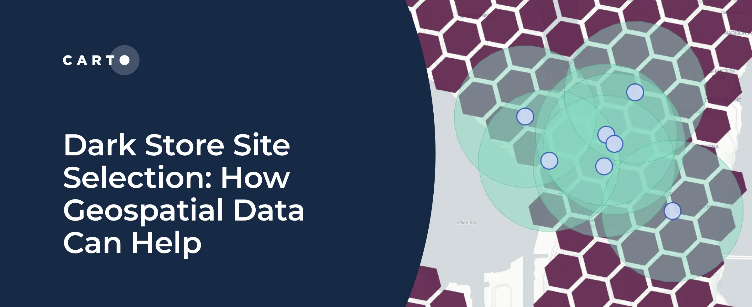
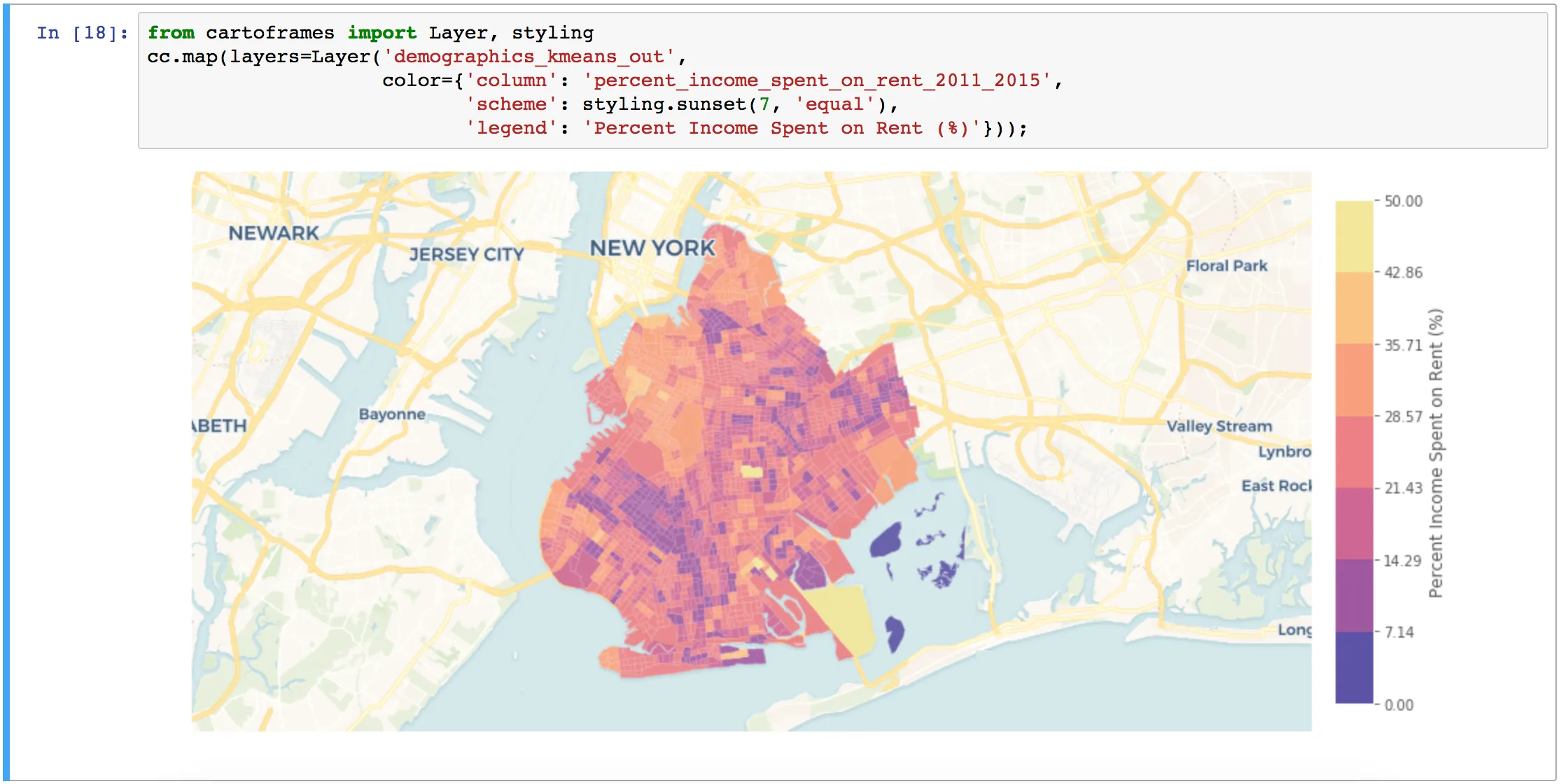
Integrating modern derivative datasets to work alongside existing customer data, and analyzing it all using geospatial analytics will paint a far clearer picture of site health at all scales.
Six months after the beta, CARTO officially launches CARTO VL a JavaScript library for vector-based visualization and analytics in Location Intelligence applications
Find out what our team members created during recent CARTO VL hackathon and learn why new feature advancements can provide better user experience for your location intelligence apps.