Platform Overview

Agentic GIS for scalable decision-making

Analyze, visualize and develop with spatial data, deploying AI Agents across your whole organization.

Cloud Native

Avoid data duplication & ETL processing time with data never leaving your data warehouse.

Spatial insights for all users

Build AI tools & agents to scale spatial insights across your whole organization.

Scalability without limits

Experience unparalleled performance by analyzing and visualizing data at an enormous scale, in seconds.

One Agentic GIS platform for all users

Streamline your tech stack with an end-to-end geospatial platform built for the enterprise. From data analysts to developers, CARTO has tools for everyone in your team.

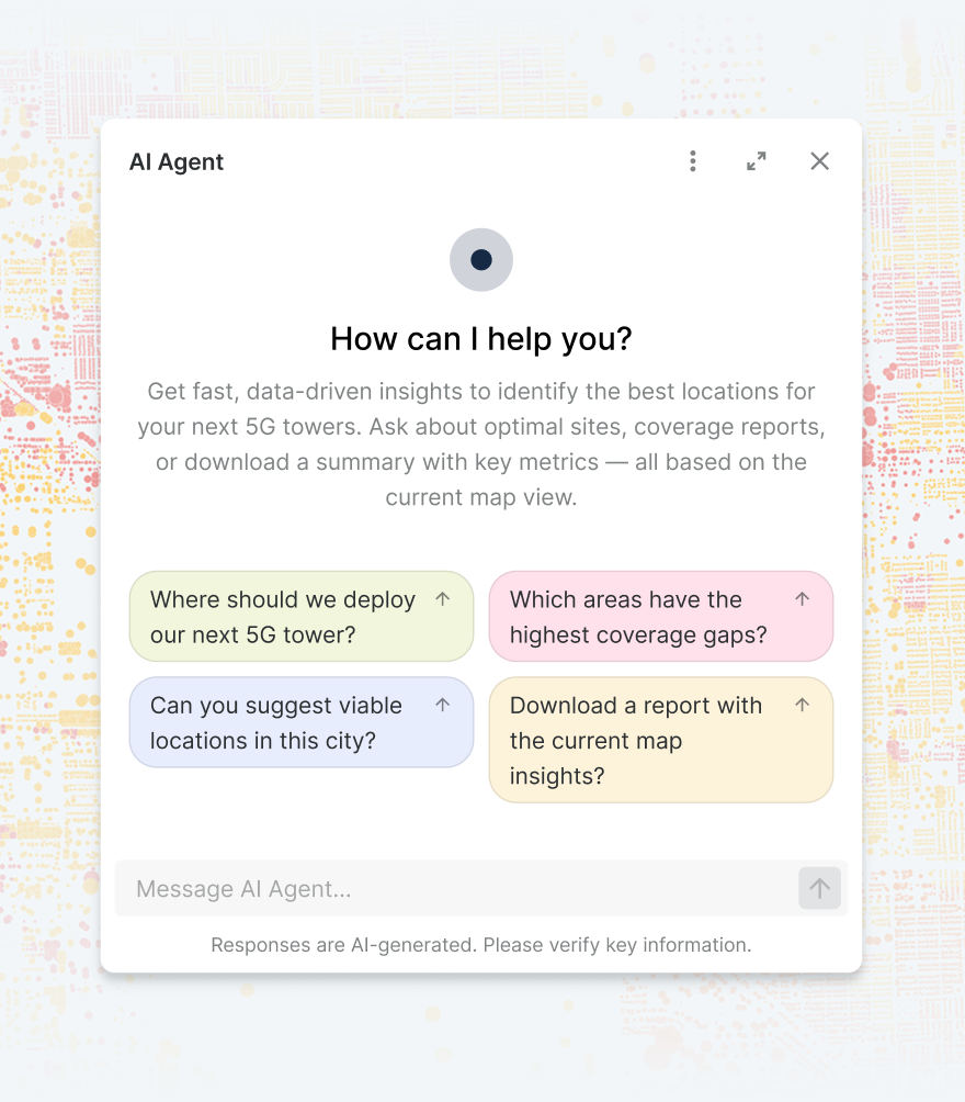
AI Agents

Accelerate decision making

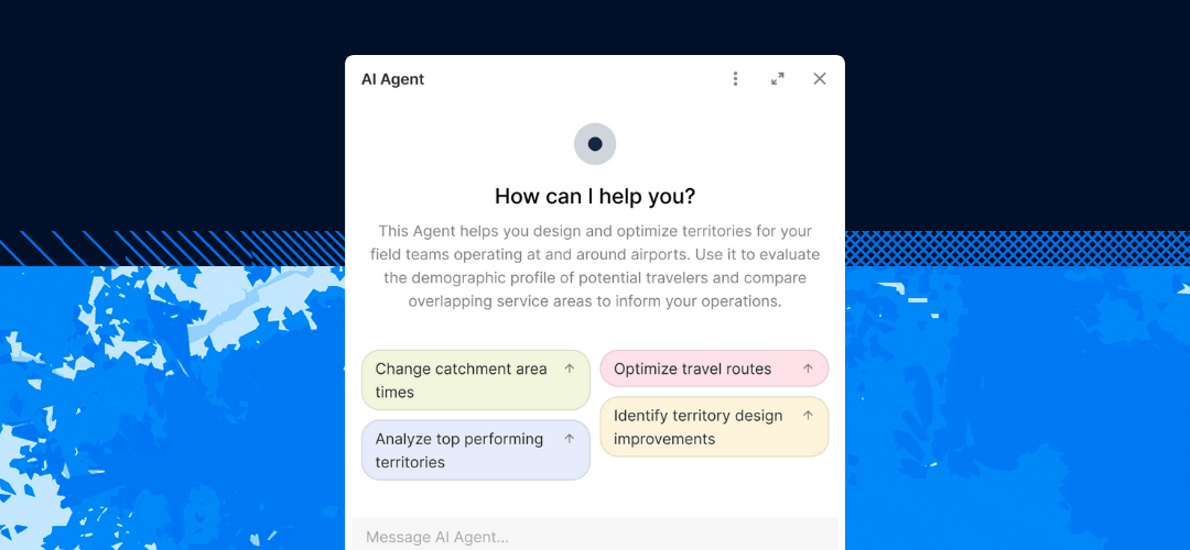
Getting intelligence from complex data often requires coding or specialized skills. With CARTO, build & deploy AI Agents to perform complex geospatial tasks using natural language, for instant, actionable insights.

Explore AI Agents
Fraud detection using AI agents
AI agent image mobile
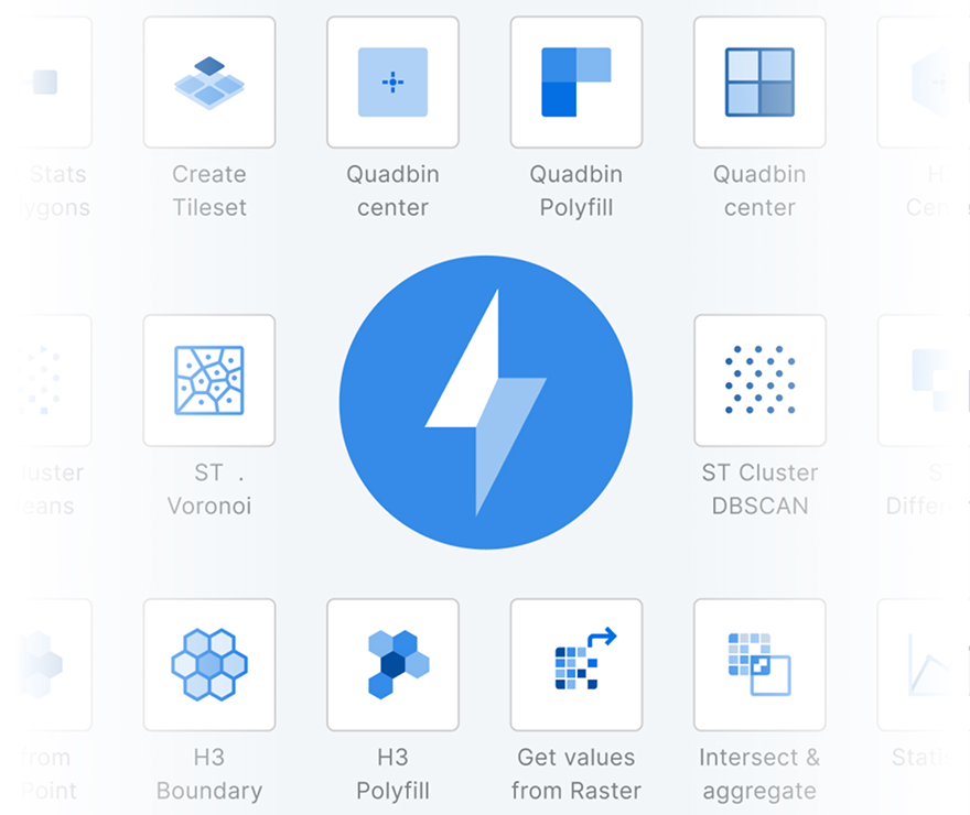
CARTO Workflows components
Analyze

Spatial analysis for everyone

Spatial analysis can demand deep expertise, creating bottlenecks and slowing insights. CARTO Workflows empowers everyone with 100s of low-code, drag-and-drop tools to simplify, automate & accelerate analytics. 

Explore Workflows
CARTO Workflows components mobile
Analyze

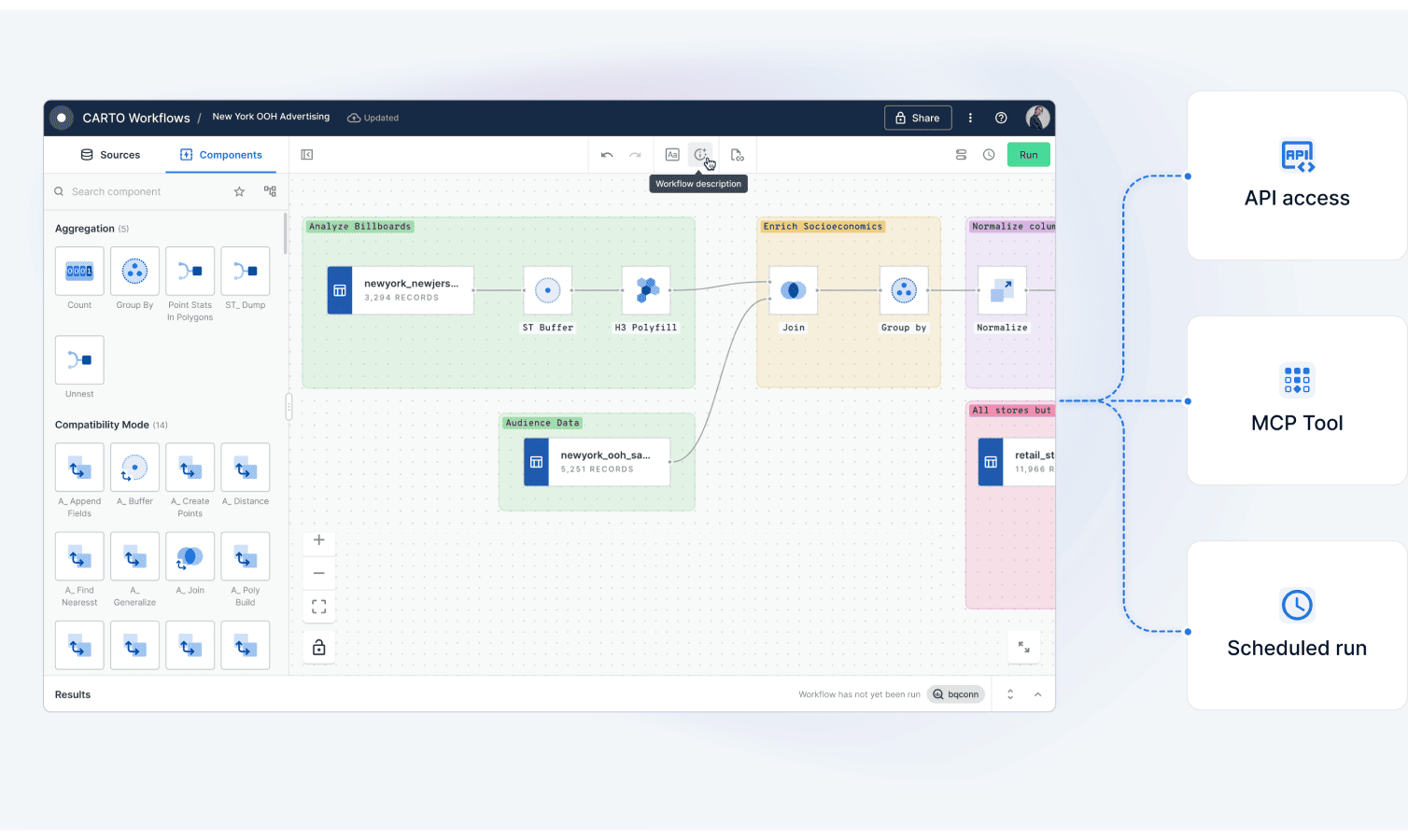
Eliminate analysis silos

Spatial workflows are often siloed and manual. With Workflows, you can automate & schedule your analysis, trigger them via APIs or even build them into your AI pipelines as MCP tools.

Explore CARTO MCP Server
gis with mcp tools
carto workflows with MCP tools
VISUALIZE

Unmatched data visualization capabilities

Visualizing massive spatial datasets is often slow and results in one-off insights. With CARTO Builder, create rich, dynamic visualizations from billions of data points with ease.
Explore Builder
telecoms 4G map carto builder
DEVELOP

Develop with flexibility, deploy at scale

Reduce development complexity. With CARTO, benefit from enterprise-grade, framework-agnostic development. Use our powerful APIs and native deck.gl support - no ETLs, backend APIs or data replication needed.

Learn more
CARTO for developers
Examples of app development using CARTO for Developers
Builder showing a map
CARTO for developers is framework agnostic
How to access CARTO for developers

More than 12,000 datasets to enhance your analysis

Sourcing and managing high-quality spatial data wastes 60% of a typical analyst’s time. With CARTO’s Data Observatory, access thousands of ready-to-use, curated datasets directly in your data warehouse.

Explore Data Observatory
data observatory logos mobile
data observatory logos

Get inspired by our customers

"Using CARTO has allowed us to analyze large amounts of spatial data for 5G deployment at scale and build a creative solution to a complex industry problem."

Kendra Lord
Kendra Lord
Director of Geospatial Engineering & Analytics, T-Mobile
Read story

“By working with CARTO we’ve been able to build the world’s leading telco data monetization solution (Vodafone Analytics) for Tourism, Real Estate & Retail - turning mobile event data into highly valuable spatial insights in 5 countries.”

David Gonzalez
Chief Data Officer at Vodafone Group
Read story

With CARTO’s AI Agents, predictive growth insights move beyond data analysts and into the hands of every decision-maker. Now, anyone can ask our data questions like ‘Which neighborhoods will grow fastest?’ and get instant answers - speeding up site planning and providing a real competitive edge.

Anand Singh
Vice President of Product

CARTO is very cloud-driven which is ideal for us as we are able to easily leverage our data in Snowflake. The connection allows us to streamline our ways of working with geospatial data in an unprecedented fashion, bringing us more productivity, capability and scalability.

Benoît Vidal
Director of Data Products & Partnerships at VIOOH

At EQT, we constantly seek ways to enhance the strategic value of our investments and improve the decision-making process. CARTO has been a game-changer for EQT, their cloud-native platform, seamless data integration, Builder for visualization and Analytics Toolbox make it much easier for us to assess investment opportunities and provide strategic advice to our portfolio companies.

Sonja Horn
Data Scientist at EQT

CARTO has allowed us to tackle complex challenges relating to road accident analysis in London and much more. Working with their cloud-native platform has been a transformative experience, making it faster for us to visualize large-scale geospatial data and quickly deliver insights to different areas of our business, partners, and clients.

Val Ismaili
Transport Planner at ARUP

Working with the CARTO platform has helped take our Location Intelligence strategy to the next level. The platform’s rich set of data analytics features and cloud-native approach helps us deliver outstanding insights that fuel our strategy, execution, and performance measurement.

Michal Klis
Head of Location Intelligence at Allegro

CARTO’s cloud-native approach and the ability to use H3 at scale was a big game changer for us. We can now compute data in real time without the need for heavy coding. Working with the CARTO platform has been extremely impactful as we can now easily visualize & analyse massive amounts of satellite data.

Basile Goussard
Co-Founder at NetCarbon

By partnering with a world-class Location Intelligence platform provider we’ve been able to unlock unique spatial insights from our mobile data, opening new lines of business and turning billions of events in to unique insights for Retailers, Real Estate companies and Public Sector organizations.

David Fierro
Big Data Tech Lead at Vodafone Business

Truly enterprise-ready

Deliver insights without compromise. CARTO is SOC 2 Type II certified with SSO, encrypted connections, granular permissions and password-protected sharing. Our platform runs entirely inside your cloud with no data replication, ever.
Learn more

Need some help to kick-start your geospatial project?

Our Professional Services & Support teams can help you accelerate projects, drawing on their expertise in app development, design, spatial data science and GIS.
Professional Services
Our Professional Services & Support teams can help you accelerate projects, drawing on their expertise in app development, design, spatial data science and GIS.
Support
We offer a full range of support options, helping you make the most of CARTO’s spatial data and analysis.

Related content

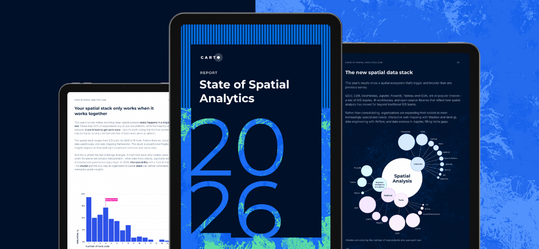
Report
Spatial Analysis in 2025: Key Trends

With insights from industry leaders at KFC, Deloitte, Global Water Security Center, and more, you’ll get practical steps to apply these trends to your workflows

Download now
Report
Applied AI for Spatial Analytics

This report walks through real examples, tools, and best practices to help you go from exploring AI to applying it in your spatial workflows.

Download now
Blog
Dynamic Tiling for Highly Performant Cloud-Native Maps

Elevate cloud-native mapping of big data with CARTO's Dynamic Tiling. Seamlessly integrate interactive maps in your apps without compromising speed.

Read more

Your data’s already in the cloud - why isn’t your spatial analysis?