


CARTO & Snowflake: Location Intelligence for Energy and Utilities
CARTO and Snowflake expanding cloud-native Location Intelligence for Energy and Utility organizations, unifying IoT data for resilient operations.


5 Skills Every Data Scientist Will Need For Their Job in 2018
We asked our newest data scientist what skills, tools, and concepts she thinks you'll need to be a successful data scientist in the coming year.

A SQL approach to graph coloring applied to maps
How to solve the graph coloring problem implementing several map coloring algorithms in PostGIS

How Entrepreneurs are Using Open Data to Start Businesses
Cities, local governments, and entrepreneurs are working together, through hackathons and app challenges, to create successful businesses. We highlight 3 from Colorado's Go Code challenge.

Modernizing Catchment Areas With Human Mobility Data
While common methods like isochrones help businesses understand where their customers could come from, Catchments made with human mobility data help businesses see where there customers really are coming and going.


Map of the Month: Landmine Removal in Nagorno-Karabakh
HALO, together with its donors, has been clearing landmines and unexploded ordnance (UXO) in Nagorno-Karabakh since 2000.

Map of the Month: Seattle Poetic Grid
Learn how our Location Intelligence platform helped execute the vision of Seattle’s Civic Poet Claudia Luna Castro in our latest Map of the Month post.

What You May Have Missed at CARTO Locations Madrid
Did you miss all of the excitement at CARTO Locations Madrid? Check out the news and announcements here! Also a sneak peak at CARTO Locations New York

The Quantified City: A Closer Look at Chicago's Array of Things
Discover how Chicago pioneers the quantified city with Array of Things. Harnessing IoT for smarter urban living. Learn more now!

Map of the Month: World Refugee Day
Solutions to the challenges faced by refugees, displaced persons, and the world as a whole as it tries to assist them are rooted in location data


The Biggest Data Trends for Outdoor Advertising in 2017
As the only traditional ad format still growing, Outdoor Advertising is going through some significant changes in 2017. Stay up to date with these major trends.

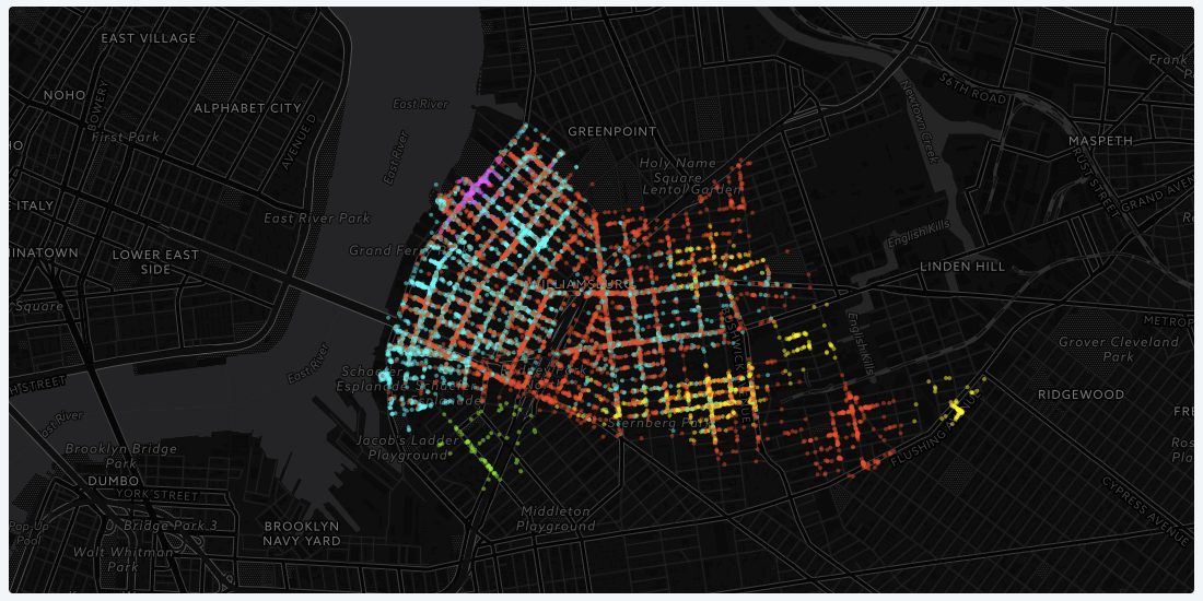
A new look for Positron and Dark Matter basemaps
Positron and Dark Matter have been redesigned with their original purpose in mind.

Academy
CARTO & Snowflake: Location Intelligence for Energy and Utilities
CARTO and Snowflake expanding cloud-native Location Intelligence for Energy and Utility organizations, unifying IoT data for resilient operations.
Nagarro & CARTO: Advancing Enterprise AI Transformation
CARTO and Nagarro partner to help enterprises move AI from pilots to production, embedding Location Intelligence into existing workflows and systems.


Unlock trade-area analysis at scale with H3 Isochrones
Scale travel-time analysis with H3-based isochrones in CARTO. Faster joins, overlap insights, and 96–99% time savings powered by TravelTime.

