Miguel is Lead Data Scientist at CARTO, an amazing team working to provide spatial analytics capabilities to our users as well as to develop custom models for our customers using spatial statistics and machine learning.
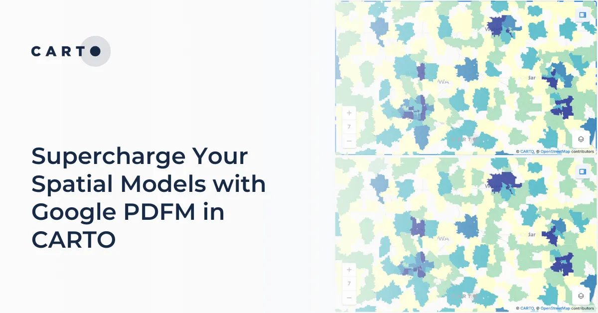
Integrate Google's PDFM embeddings into CARTO Workflows for enhanced spatial models. This blog shows two use cases on how these embeddings improve predictions.
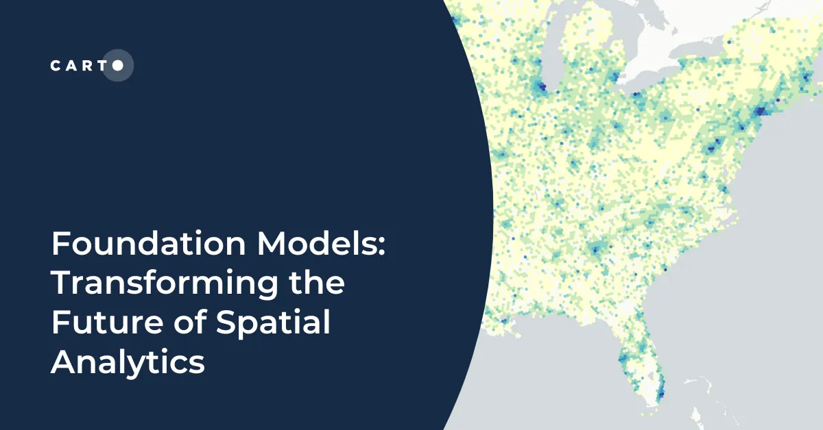
Explore how geospatial foundation models like Google’s PDFM are revolutionizing spatial analytics, from disaster response to urban planning with CARTO.
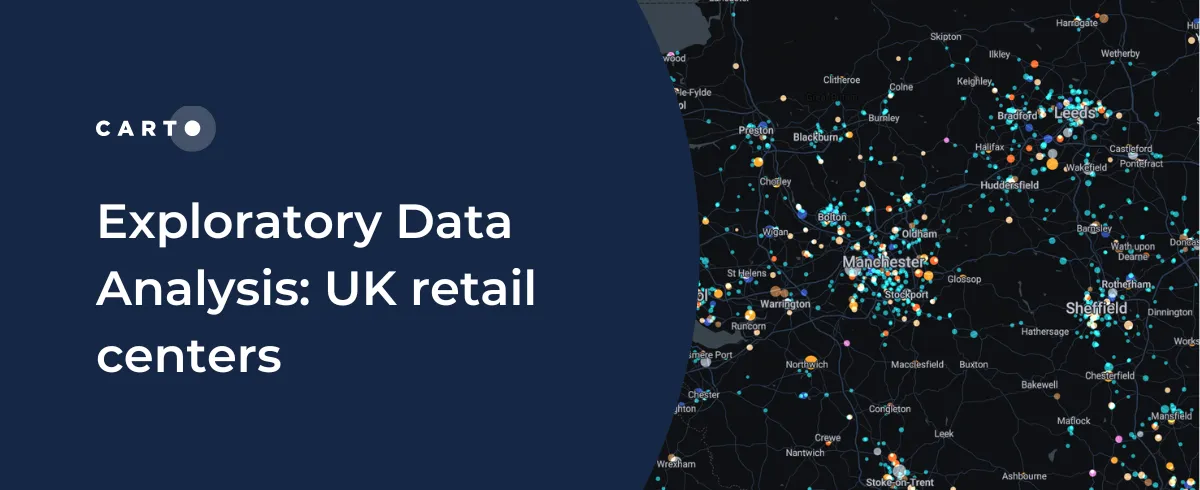
CARTO shares how you can use Exploratory Data Analysis to better understand your data and frame future analysis with CDRC’s latest dataset - UK Retail Centres
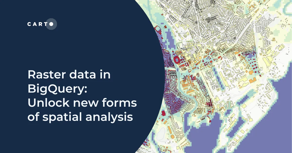
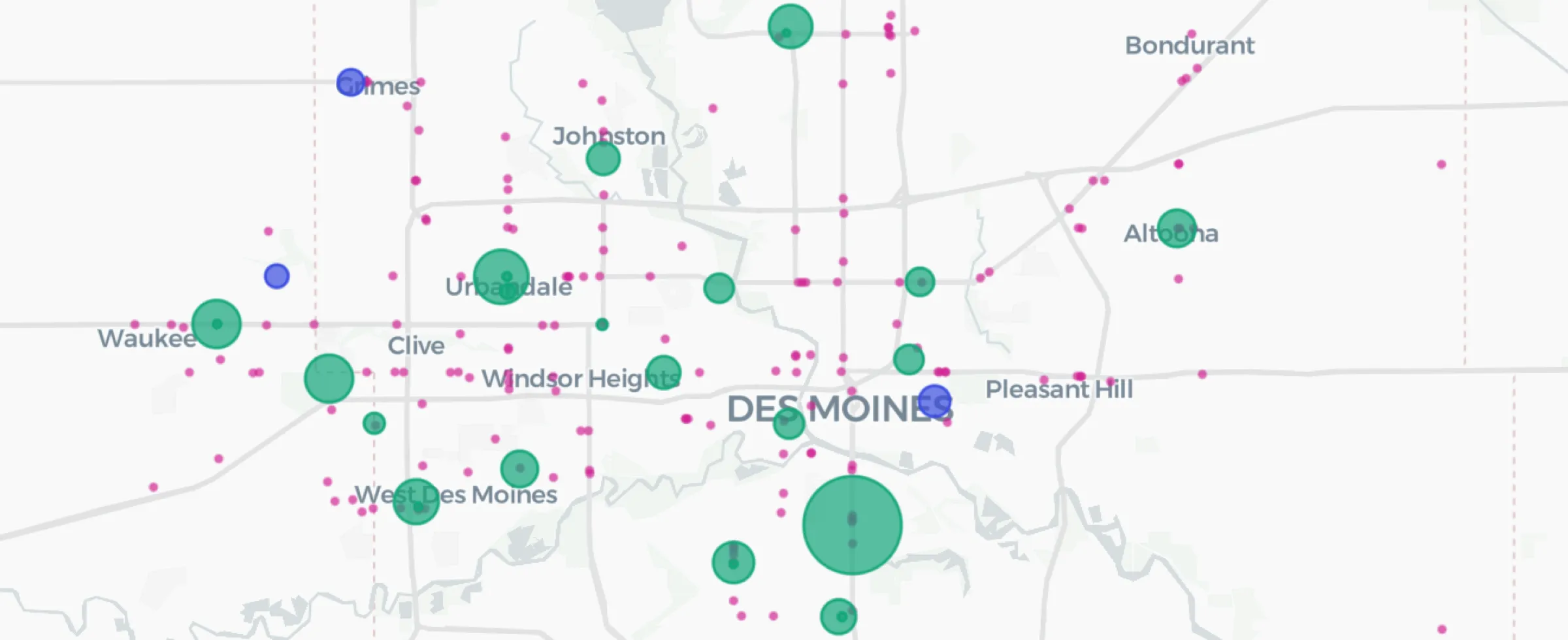
Discover how to use CARTO's Analytics Toolbox for Google BigQuery to train a spatial predictive model to predict annual store revenues across a territory
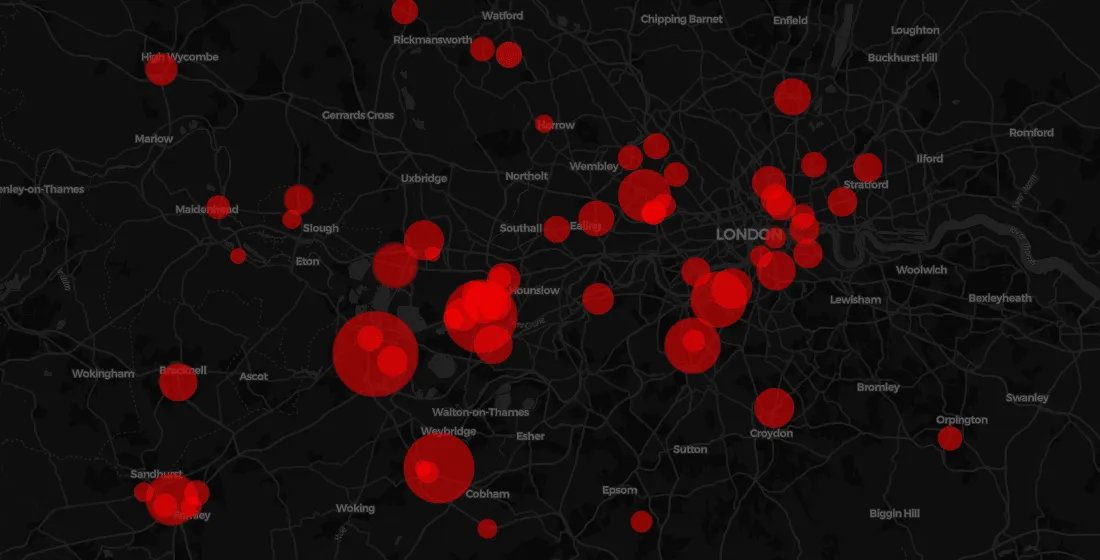
Earlier this year many petrol stations in some parts of the UK ran out of fuel. Discover what location data can tell us about the real story behind the long queues.
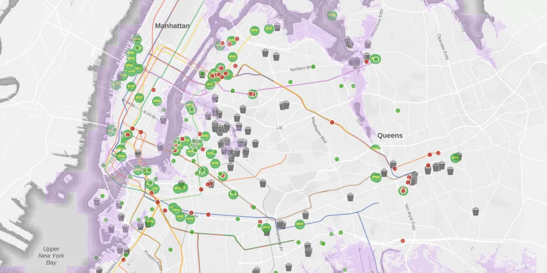
Learn about SPEED 2.0, a collection of spatial datasets wrapped into one app for the purpose of helping individuals identify environmental issues in New York City
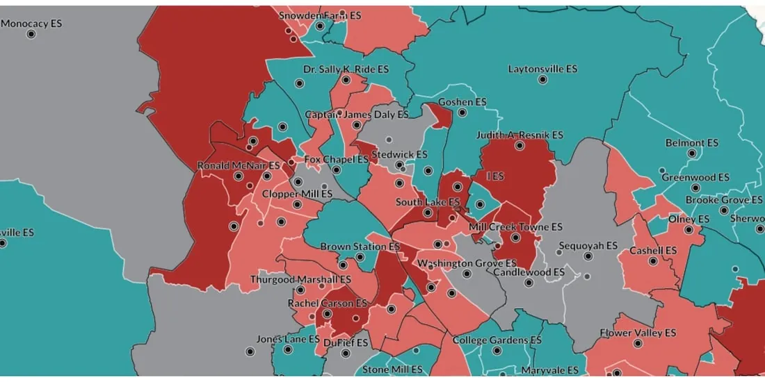
Read how WXY, an architecture, urban design, & planning firm, built an interactive school district dashboard for Montgomery county using the CARTO platform
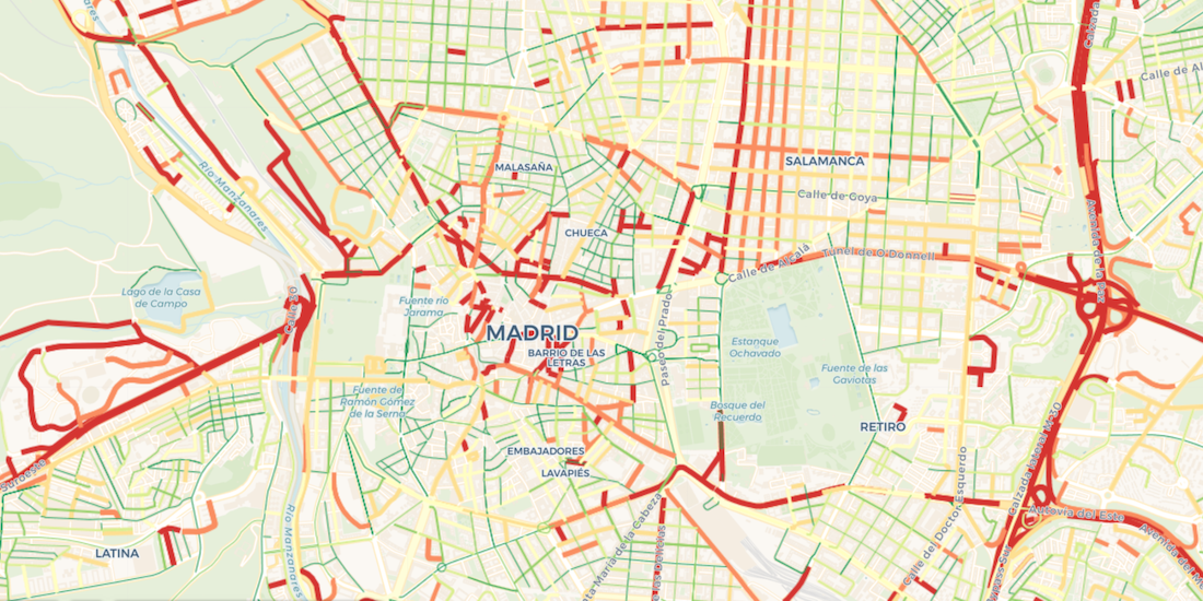
Learn how to import Waze for Cities traffic big data into CARTO using our Google BigQuery Connector for easy analysis & visualization in our step by step guide
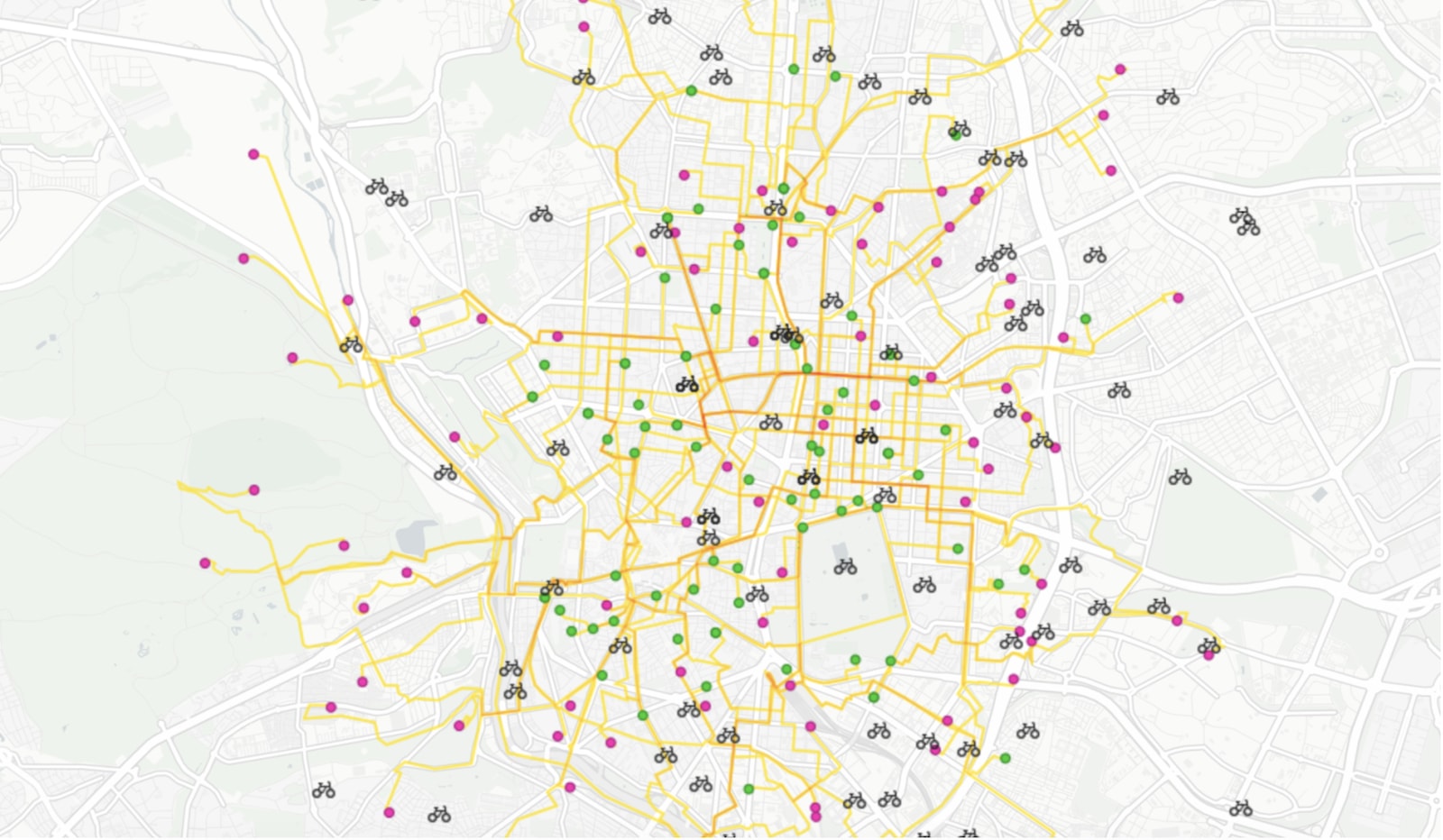
Road traffic injuries are a leading cause of death & have a big economic effect. Read how Spatial Data Science can identify dynamic hotspots & reduce accidents.
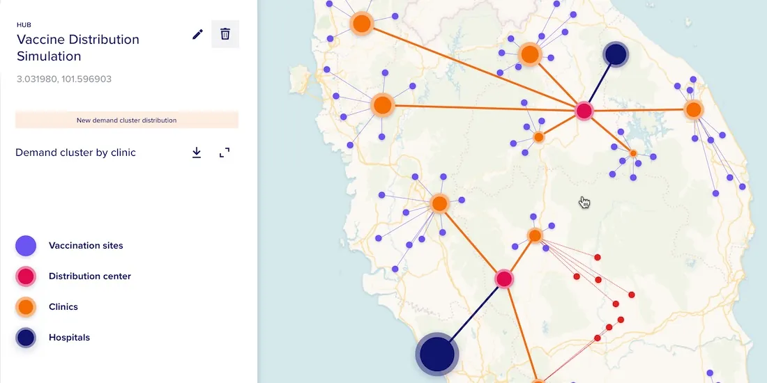
With COVID-19 vaccines requiring strict storage, ensuring an efficient cold chain transportation network using spatial will be key for effective distribution
Within Retail Data Analytics we combine social media & credit card data to see how retailers can gain key market insights, optimize footprints, & boost sales.
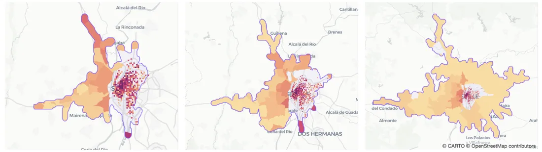
Traditional approaches like isochrones or buffers fail to capture where people visiting a specific location actually come from. Learn how to build better Catchment with Human Mobility Data.