Javier is CARTO's Chief Product Officer and is globally responsible for CARTO’s product portfolio, customer experience, and innovation roadmap. Javier's responsibilities span the complete product development and customer experience cycle.
Unlock secure, AI-powered geospatial analysis in your AWS environment. Learn how CARTO's Agentic GIS and Amazon Bedrock integration makes spatial insights accessible to everyone.
Unlock AI-driven spatial analysis. CARTO's Agentic GIS now integrates with Google AI Studio & Vertex AI to run secure geospatial workflows on BigQuery.
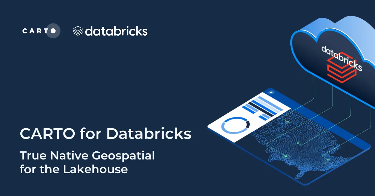
Unlock powerful geospatial analytics in Databricks. CARTO's native integration leverages Spatial SQL and Mosaic AI for high-performance, AI-driven insights.
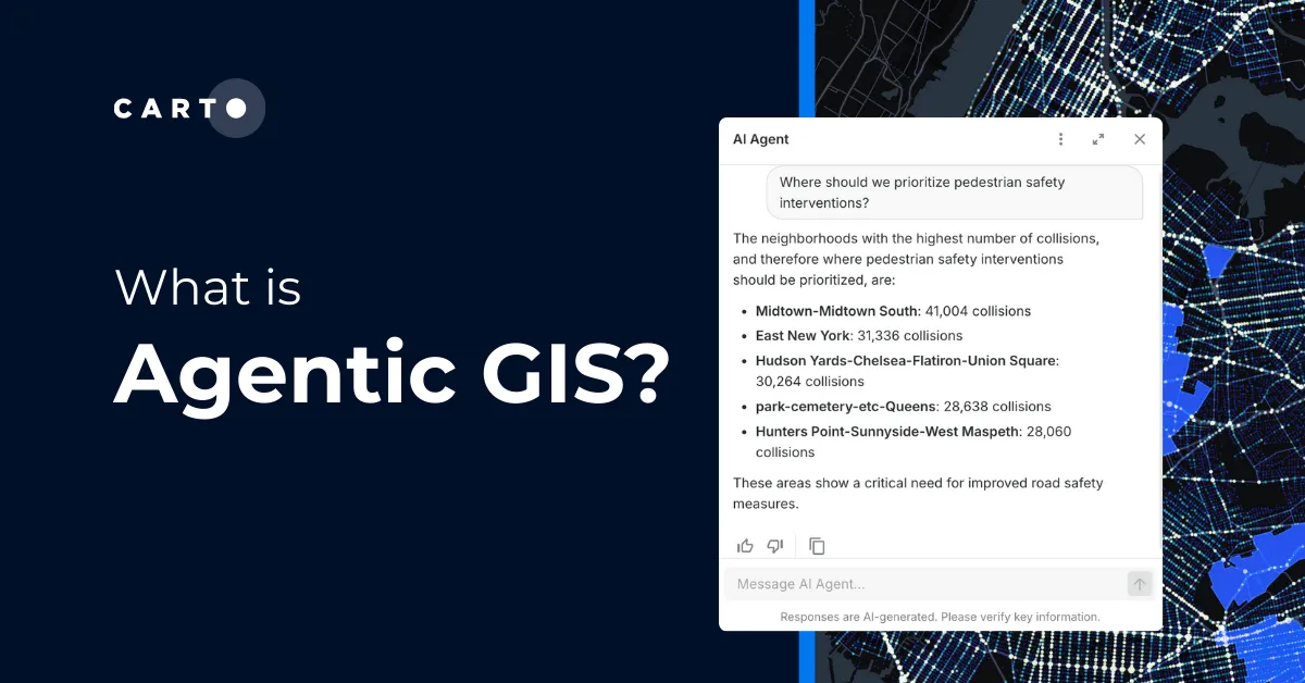
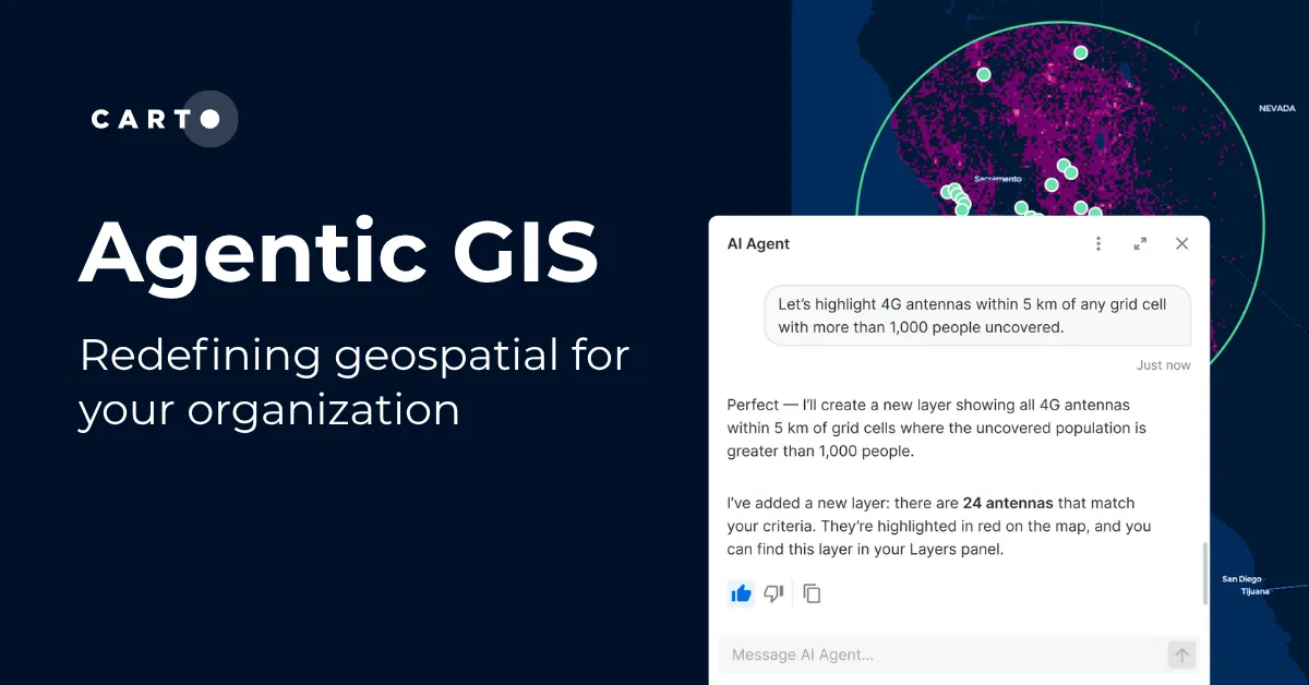
Discover what’s new in CARTO Q4 2025, including Agentic GIS, AI-powered spatial analysis, MCP tools, analytics on embeddings, and enterprise governance updates.
Discover CARTO's integration with Databricks, empowering users with native geospatial analytics for enhanced Location Intelligence and streamlined workflows in the Lakehouse.
What does it mean to be truly cloud-native? Enhance security, eliminate data silos & redundancy, and revolutionize your geospatial workflows with CARTO.
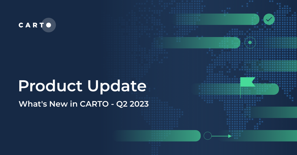
Explore the latest CARTO platform features unveiled in Q1 2024! Trigger workflows via API, control your maps via URL, the all-new CARTO Academy - and more!
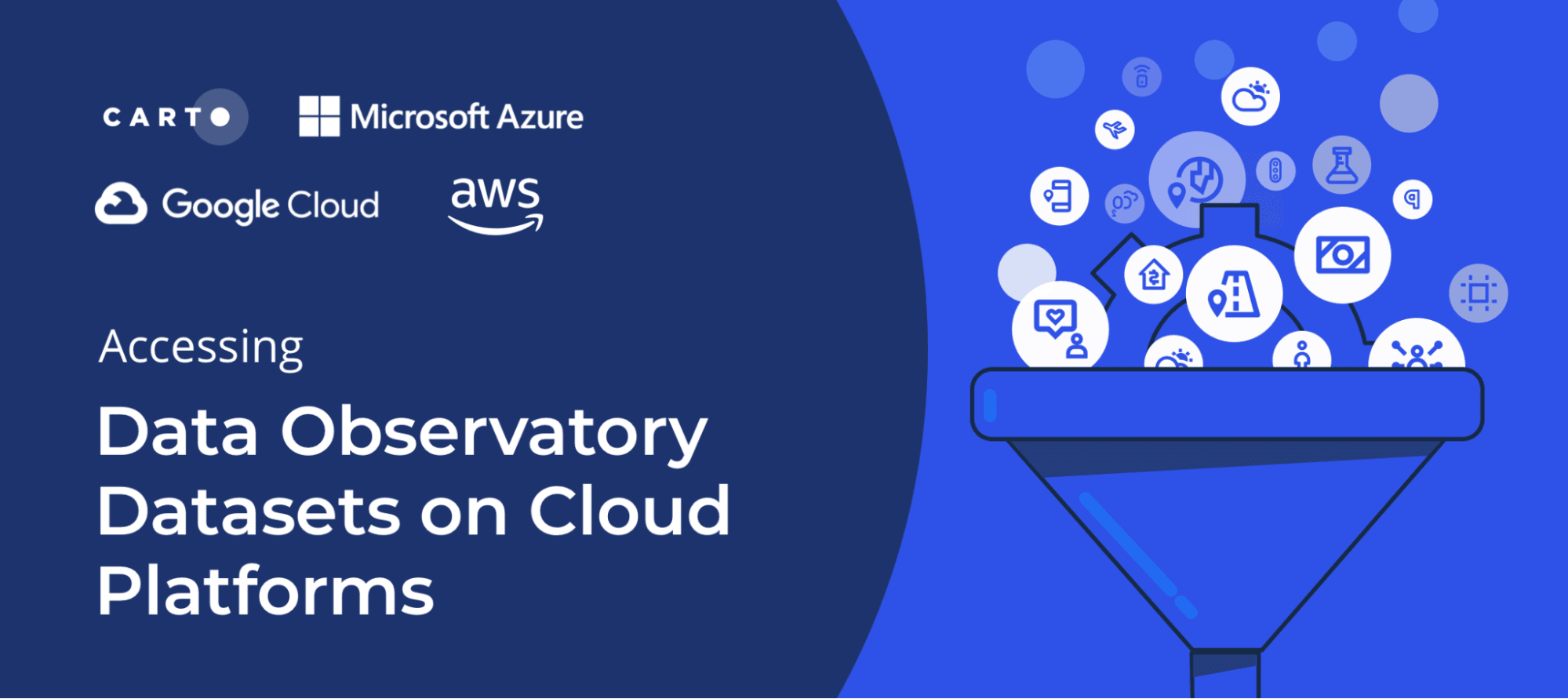
With thousands of spatial datasets available in the Data Observatory learn how to perform data enrichment directly on your cloud data warehouse platform
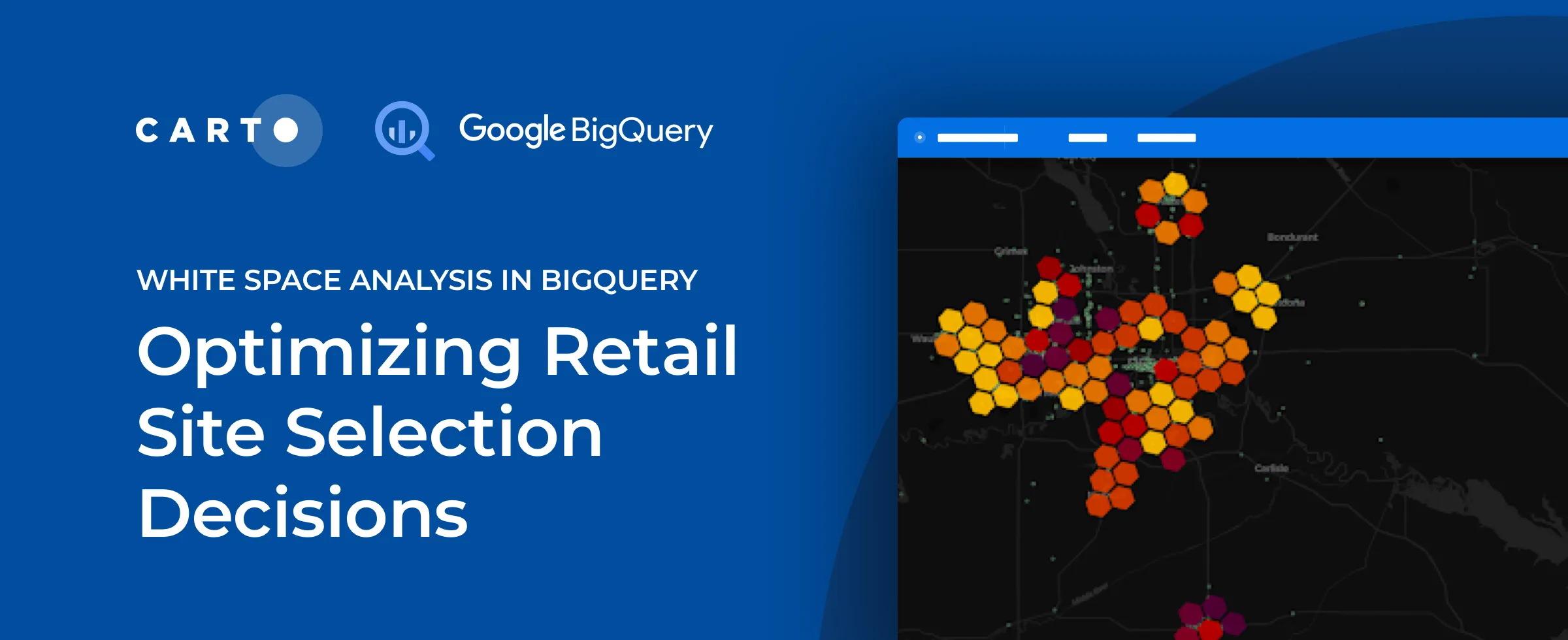
Discover how to use CARTO's Analytics Toolbox for Google BigQuery to train a spatial predictive model to predict annual store revenues across a territory
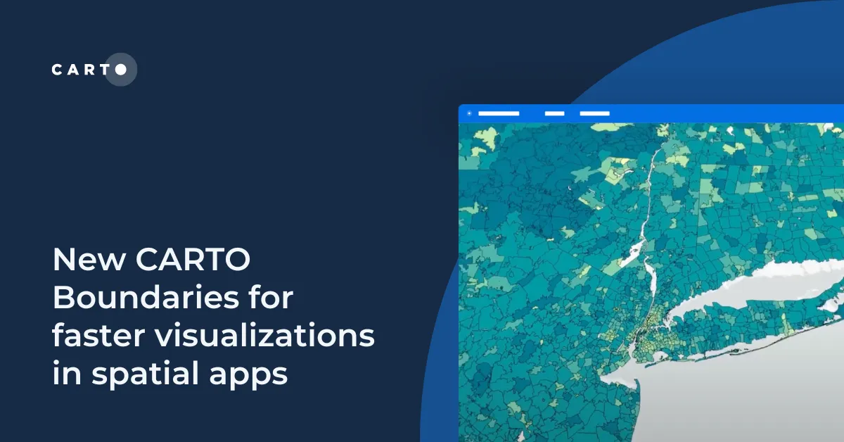
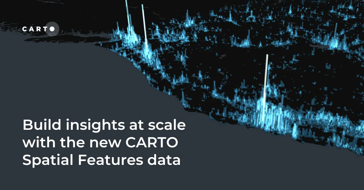
We are pleased to announce the release of a new version of CARTO Spatial Features, including new variables for urbanity level, elevation, & climatology
We are pleased to announce our partnership with CKDelta & the inclusion of their human mobility data within our Data Observatory. Learn more & see key use cases.
Discover our Scientific Committee's latest insights when they gathered recently to discuss human mobility data topics including representation, bias, & privacy.
We are pleased to announce our partnership with Foursquare, leaders in location technology, & the inclusion of its POI & foot traffic data in our Data Observatory
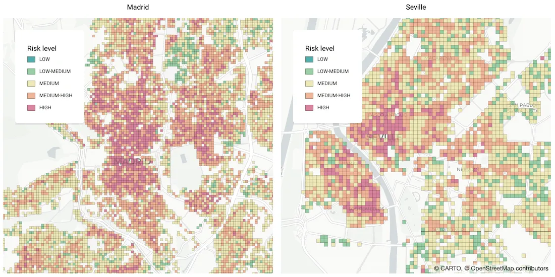
As many parts of the world enter into recession following the Coronavirus pandemic, read how Spatial Data Science can help identify areas with a greater risk
We are very pleased to announce the formation of the CARTO Scientific Committee, and its inaugural members, to further advance the field of Spatial Data Science
We are excited to announce a new release of CARTO's Data Observatory giving users the ability to explore, subscribe, & manage thousands of spatial datasets.
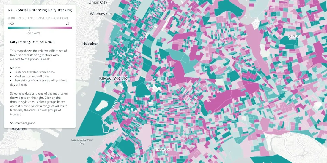
Location Data Streams from Apple, Unacast, Safegraph, & others now available for Spatial Analysis in our Data Observatory to aid in post COVID-19 recovery.
Geosocial Data is now available in CARTO through our partnership with Spatial.ai. See how location-based social media data can be used in spatial analysis.
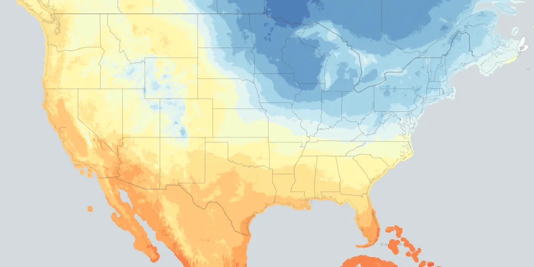
From meeting fluctuating customer demands and scheduling services, to proactively optimizing workflows to minimize risks in case of extreme events, weather-related data represents a huge asset