

Use cases


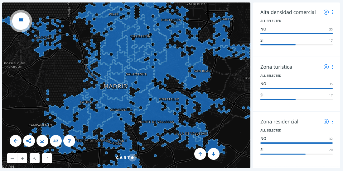
Where Location Intelligence is driving innovation in geomarketing
Find out why the key ingredient in geomarketing campaigns that show ROIs by converting consumer interest into intent to purchase is location data.

The Healthcare Marketing Trend to Watch in 2018
Healthcare analysts spend more time collecting, scrubbing, and managing data than they do actually analyzing it. This trend will help with that.

Measuring the Potential Impact of Amazon HQ2 on DC and Other Candidate Sites
Using Location Intelligence to show how modern site planning can shine a light on the impact of Amazon’s forthcoming HQ2 on local communities, the private sector, and Amazon itself

This map shows attendance of over 1,000 US protests in 2017
Learn how Count Love works with location data, spatial analysis, and digital mapping to record and study political protests in our latest Map of the Month feature.

How to Increase B2B Sales by Redesigning Sales Territories
The most forward-thinking B2B sales and operations directors have started incorporating location intelligence into their sales territory management and defining sales territories differently from the rest.
How BBVA is Understanding Cities by Analyzing Credit Card Data
Using credit card data, one of the largest banks in Spain created an Urban Discovery tool that describes city dynamics and compares areas from different cities.

How Entrepreneurs are Using Open Data to Start Businesses
Cities, local governments, and entrepreneurs are working together, through hackathons and app challenges, to create successful businesses. We highlight 3 from Colorado's Go Code challenge.

Modernizing Catchment Areas With Human Mobility Data
While common methods like isochrones help businesses understand where their customers could come from, Catchments made with human mobility data help businesses see where there customers really are coming and going.

Map of the Month: Landmine Removal in Nagorno-Karabakh
HALO, together with its donors, has been clearing landmines and unexploded ordnance (UXO) in Nagorno-Karabakh since 2000.

Map of the Month: Seattle Poetic Grid
Learn how our Location Intelligence platform helped execute the vision of Seattle’s Civic Poet Claudia Luna Castro in our latest Map of the Month post.

Map of the Month: World Refugee Day
Solutions to the challenges faced by refugees, displaced persons, and the world as a whole as it tries to assist them are rooted in location data


The Biggest Data Trends for Outdoor Advertising in 2017
As the only traditional ad format still growing, Outdoor Advertising is going through some significant changes in 2017. Stay up to date with these major trends.

Academy


CARTO & Snowflake: Location Intelligence for Energy and Utilities
CARTO and Snowflake expanding cloud-native Location Intelligence for Energy and Utility organizations, unifying IoT data for resilient operations.
Nagarro & CARTO: Advancing Enterprise AI Transformation
CARTO and Nagarro partner to help enterprises move AI from pilots to production, embedding Location Intelligence into existing workflows and systems.


Unlock trade-area analysis at scale with H3 Isochrones
Scale travel-time analysis with H3-based isochrones in CARTO. Faster joins, overlap insights, and 96–99% time savings powered by TravelTime.