Spatial Data
GERSifying Overture Places: A Seamless Path to Richer Insights
Discover how the GERSification of Overture Maps Foundation data can help you connect open and premium data to speed up analysis and smarter spatial decisions.
How Insurance Uses Location Data to Prepare for Natural Disasters
Embracing Location Intelligence can help insurers to reduce their exposure to risk, while preparing and offering policyholders better service and more varied plans that meet their needs.
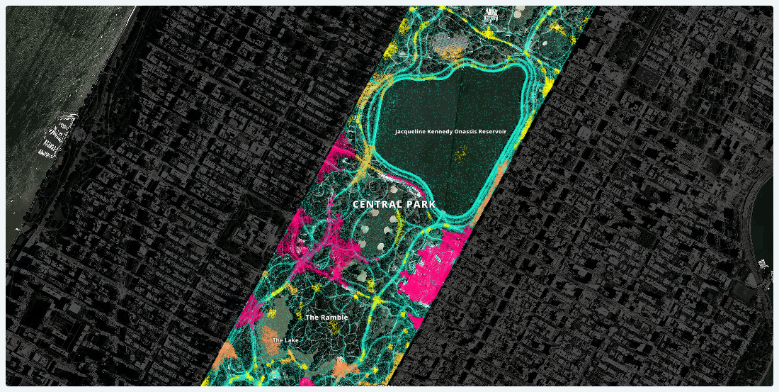
Lessons Learned from Analyzing Over a Million Points of GPS Data
Working with one month of nation-wide GPS data, A Million Walks in the Park explores the use of public spaces, specifically public parks across New York City, to understand social interactions among New Yorkers.
Global Partnership: Democratizing Data & Location Intelligence for Development
Democratizing Data & Location Intelligence: The Global Partnership for Sustainable Development Data is Working Towards the SDGs
4 Ways Data Enrichment Can Improve Your Raw Business Data
Implementing data-driven decision making can only show a return on investment for businesses if analysts ask the right questions with the right data. Here are the right questions to ask.

Academy


Spatial Analytics in 2026: What's Changing?
Explore how AI, cloud-native tools, and evolving skills are reshaping spatial analytics in 2026, based on insights from 200+ geospatial experts.


CARTO AI Agents now integrated with Google AI Studio & Vertex AI
Unlock AI-driven spatial analysis. CARTO's Agentic GIS now integrates with Google AI Studio & Vertex AI to run secure geospatial workflows on BigQuery.


Agentic GIS now integrated with Snowflake Cortex AI
Unlock Agentic GIS in Snowflake. CARTO's native integration leverages Snowflake Cortex AI for secure, powerful, and AI-driven spatial analysis.


.png)

.jpg)


