

Use cases


Human Mobility & Transport Analysis in the Canary Islands
Optimizing transport infrastructure spatially is key to the future of mobility - see how CARTO, Vodafone, & SAGULPA built a platform for the city of Las Palmas
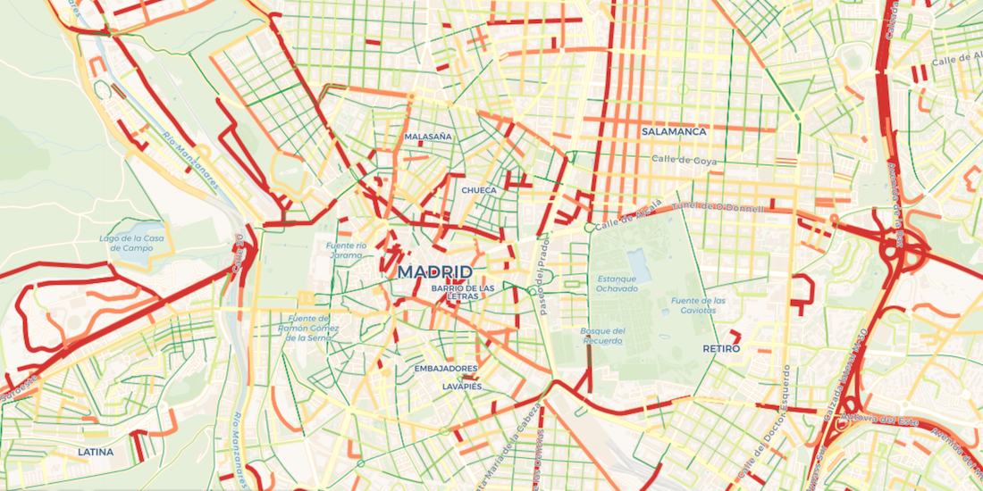

Visualize Waze Traffic Data using Google BigQuery & CARTO
Learn how to import Waze for Cities traffic big data into CARTO using our Google BigQuery Connector for easy analysis & visualization in our step by step guide

Analyzing UK Covid Recovery & Mobility with Avison Young
Explore Avison Young's UK Cities Recovery Index, monitoring commercial real estate rebound post-pandemic, analyzing diverse sectors, and predicting recovery trajectories.

COVID-19 Vaccine: Optimizing Cold Chain Transportation
With COVID-19 vaccines requiring strict storage, ensuring an efficient cold chain transportation network using spatial will be key for effective distribution


7 Reasons Why CPG Marketers Are Turning To Location Analytics
Discover how CPG/FMCG marketers & CMOs can use geospatial analysis & data to evolve their analytics to rapid consumer changes in the new normal

React to the Changing Face of Retail DIY with Behavioral Data
With COVID-19 causing dramatic shifts in consumer spending behavior, DIY & other retailers can leverage geospatial data to discover new revenue opportunities.

Using Data & Maps to Analyze England's Response to COVID-19
As cases of Coronavirus rebound, having an effective Test & Trace system in place is crucial. A new dashboard with maps evaluates the NHS response in England.

Modern Distribution Management Transformation in CPG
Modern Distribution Management, encompassing supply chain network design & logistics optimization, is going through a transformation. See why spatial is key.
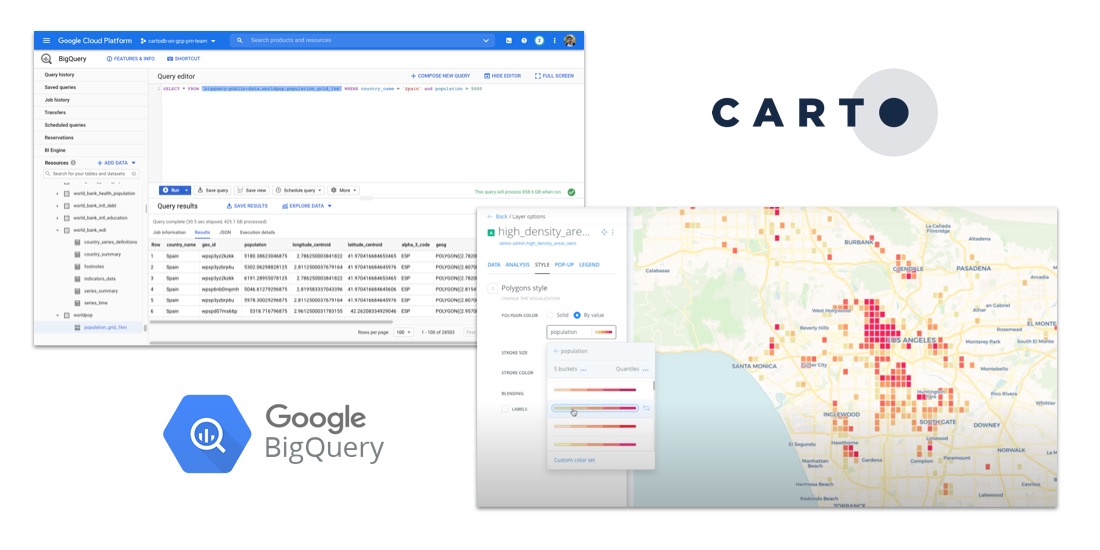
How to Analyze Google BigQuery Data in CARTO
Learn how to visualize geospatial Big Data hosted in Google BigQuery by creating a CARTO instance on the Google Cloud Platform & using our BigQuery Connector.

Indoor Mapping & Airport Routing launched by Aena & Telefonica
Aena, in collaboration with CARTO, Telefónica, & Situm has launched 'AenaMaps', a solution leveraging indoor mapping to provide navigation within its airports.

How to Analyze & Visualize Spatial Data in Databricks
Explore examples of Databricks & CARTO together as part of a collaborative Data Science process including visualizing Big Data sets & creating ETL pipelines.

What is Fleet Management & Best Spatial Practices
What is Fleet Management & how can Location Intelligence be used to improve efficiency, reduce costs, & provide compliance? We explore.

Academy


CARTO & Snowflake: Location Intelligence for Energy and Utilities
CARTO and Snowflake expanding cloud-native Location Intelligence for Energy and Utility organizations, unifying IoT data for resilient operations.
Nagarro & CARTO: Advancing Enterprise AI Transformation
CARTO and Nagarro partner to help enterprises move AI from pilots to production, embedding Location Intelligence into existing workflows and systems.


Unlock trade-area analysis at scale with H3 Isochrones
Scale travel-time analysis with H3-based isochrones in CARTO. Faster joins, overlap insights, and 96–99% time savings powered by TravelTime.