


CARTO & Snowflake: Location Intelligence for Energy and Utilities
CARTO and Snowflake expanding cloud-native Location Intelligence for Energy and Utility organizations, unifying IoT data for resilient operations.


Find and fix underperforming retail markets with spatial data models
Discover why retailers are building market performance models with Location Intelligence in our latest post


Map of the Month: Displacement Alert Map 2.0
Created using CARTO.js and pulling in open data from multiple sources, DAP Map will help in the fight against housing displacement.
Location Intelligence: The End of GIS As We Know It
GIS set the foundation for businesses to begin collecting and visualizing geographic information. But in order to stay competitive, businesses know they need to focus on the intelligence from their location data, not just on the geographic information itself.


Could these location-based bus improvements fix NYC transit woes?
As the subway enters a declared state of emergency, a new coalition is proposing changes based to the NYC bus system based on location data to help solve the city's transit woes.

Consulting Presentation Examples that Go Beyond PDF and PPT
Learn to deliver consulting presentations in a more engaging format using Location Intelligence tools.


Changing Neighborhoods: The case of New York City
Citizen-led organizations use geospatial tech and location intelligence to analyze housing markets and demographic changes. Learn about NYC, SF, and Chicago.

How Greenpeace is Fighting Big Oil with Data Visualization
Greenpeace is transforming idea into action by using data visualization to show the concrete danger that petrol poses.


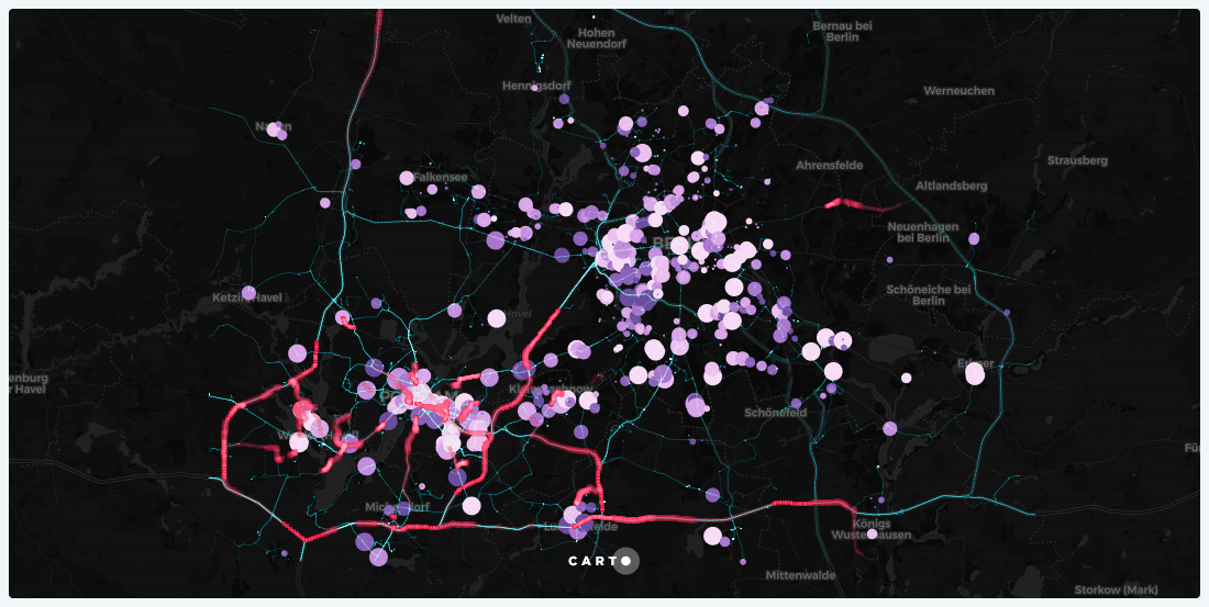
Introducing CARTO Traffico: A Crowdsourced GPS Data Traffic Management Solution
CARTO Traffico is a traffic management solution for civic engineers and urban planners that integrates crowdsourced GPS data with city specific mobility data sources to help cities adapt to citizens’ changing transportation behavior

Location Intelligence apps take flight with Airship
Learn about our front-end library Airship and the exciting and extensive new offers it provides developers.

Academy
CARTO & Snowflake: Location Intelligence for Energy and Utilities
CARTO and Snowflake expanding cloud-native Location Intelligence for Energy and Utility organizations, unifying IoT data for resilient operations.
Nagarro & CARTO: Advancing Enterprise AI Transformation
CARTO and Nagarro partner to help enterprises move AI from pilots to production, embedding Location Intelligence into existing workflows and systems.


Unlock trade-area analysis at scale with H3 Isochrones
Scale travel-time analysis with H3-based isochrones in CARTO. Faster joins, overlap insights, and 96–99% time savings powered by TravelTime.

