

Core Tech


Using Mapbox Vector Tiles in CARTO for Maps & Location Apps
Using Mapbox Vector Tiles in CARTO for Maps & Location Apps

Introducing CARTOframes: A Python Interface for CARTO
CARTOframes allows data scientists to extract the power of CARTO without leaving their Python environment.

Happy PostGIS day!
Happy PostGIS day! Connect CARTO to Franchise, a SQL tool with a notebook interface. Analyze and visualize your PostGIS data seamlessly.

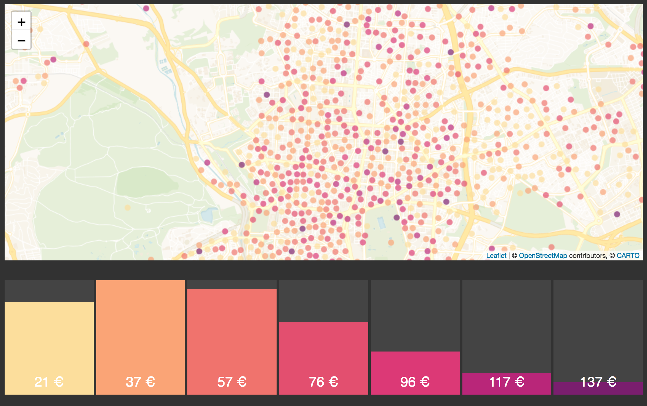
Get Smarter About Retail Site Monitoring
Integrating modern derivative datasets to work alongside existing customer data, and analyzing it all using geospatial analytics will paint a far clearer picture of site health at all scales.

Harness the Power of Vector with CARTO VL
Six months after the beta, CARTO officially launches CARTO VL a JavaScript library for vector-based visualization and analytics in Location Intelligence applications

An update on MVT encoders
Explore enhanced MVT encoding performance with Postgis' St_AsMVT technology, optimizing resources and minimizing network load for efficient vector tile generation.

Airship: A New Front-End Library for Location Intelligence Apps
With Airship, designers and developers can generate styles, interactive elements, typography, and many more design elements optimized specifically for location applications

CARTO's Use of Foreign Data Wrappers
Very different databases can be linked using this PostgreSQL feature.
How to use CARTO.js with React
Example of how to create a naive application with CARTO.js and React.

Patching Plain PostgreSQL for Parallel PostGIS Plans
Stock PostgreSQL 10 can be improved for better PostGIS parallelism with a couple patches.

Academy


Agentic GIS now integrated with Snowflake Cortex AI
Unlock Agentic GIS in Snowflake. CARTO's native integration leverages Snowflake Cortex AI for secure, powerful, and AI-driven spatial analysis.
CARTO now integrated with Databricks Spatial SQL & Mosaic AI
Unlock powerful geospatial analytics in Databricks. CARTO's native integration leverages Spatial SQL and Mosaic AI for high-performance, AI-driven insights.

Geospatial Sovereignty: Why it requires both Law and Architecture
Unlock true geospatial sovereignty. This guide explains why a modern tech stack is not enough and how to build a legal and governance framework for your data.