


The Client
wecity
Founded in Italy in 2014, wecity is a sustainable mobility app that rewards citizens using greener transport methods like cycling and public transportation. wecity does this in several ways, such as providing a platform for carpooling and also with street safety mapping for bikers in major Italian cities, therefore enabling faster adoption of sustainable mobility.

The Challenge
Visualize their users’ location data in order to improve safety insights and indicators
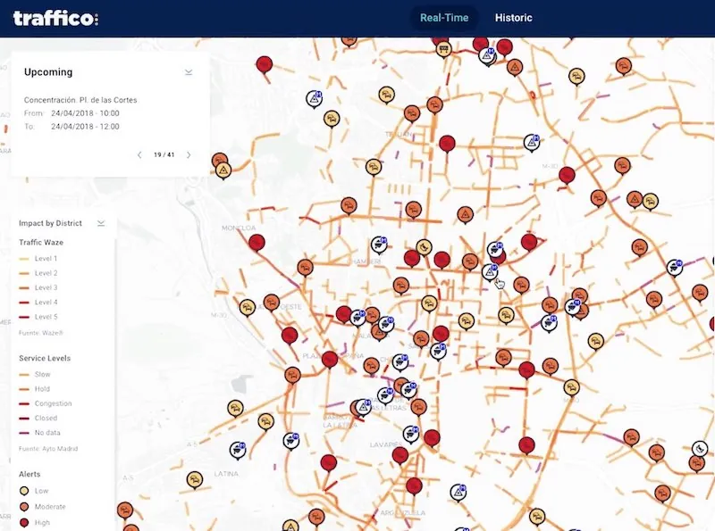
wecity wanted to crowdsource and visualize smartphone-generated location data collected from thousands of users on a monthly basis. The solution they were looking for was location technology that would allow them to seamlessly collect, visualize and analyze this data.

Results
Building smarter cities across Europe
wecity can now visualize mobile app data collected from their 12,000 strong active user base every month across 18 cities in Italy. CARTO’s CSS has also enabled wecity to create compelling and clear visualizations using features such as the torque function to animate journeys through time.
Creating unique mobility and modality insights everyday, they are also working with local governments to see how their data can help build smarter cities across Europe.
.svg)
Why CARTO?
Simple and intuitive interface
With CARTO Builder manipulating data is made simple thanks to its widget-driven interface. This location technology is specifically tailored to business users and has allowed companies like wecity to develop unique filters such as the Urban Cyclability Index.