CUSTOMER STORIES

OneMap: A Customer-Centric Approach to Real Estate using Location Data

"OneMap is a key component of my everyday work and saves me so much time as all the information that I need for both statutory and strategic planning projects is contained in the one program. As a social planner, it also has the ability to incorporate the key demographic information that I need (using the latest census data) and allows this to be geographically interpreted whilst overlaid with other related parameters such as zones and overlays. This paints a very unique picture of a neighborhood and allows the user to really understand the contributing and competing factors for social analysis.“

Jess Noonan

Associate Town Planner at Tract Consultant

"OneMap is a key component of my everyday work and saves me so much time as all the information that I need for both statutory and strategic planning projects is contained in the one program. As a social planner, it also has the ability to incorporate the key demographic information that I need (using the latest census data) and allows this to be geographically interpreted whilst overlaid with other related parameters such as zones and overlays. This paints a very unique picture of a neighborhood and allows the user to really understand the contributing and competing factors for social analysis.“

Jess Noonan

,

Associate Town Planner at Tract Consultant

The Client

OneMap

OneMap is a powerful mapping platform that provides specific property data from their database with over 200 million data attributes to serve real estate developers, governments, and city planners across Australia.

OneMap also works with users to create custom views of major metropolitan cities, scaled with multiple layers including demographics, transportation, development, and construction activity.

The Challenge

Leveraging Spatial Analysis into a single, easy to use platform

As they continued to grow their business, they sought new technologies and techniques to streamline the process of generating custom reports and views based on specific customer needs. More specifically, OneMap needed a platform capable of leveraging location data and processing a high volume of attributes from each point.

Results

A scalable alternative for creating high-quality maps

Powered by CARTO Engine and SQL APIs, OneMap has dramatically reduced their cost in time for querying data, accessing data layers, and creating custom views and dashboards for their customers. This empowers their customers to more rapidly analyze their data, focus their resources and take action.

onemap results asset

Why CARTO?

Avoiding data silos and improving workflow efficiency

By hosting all of their data within CARTO and utilizing the platform across the organization, the team at OneMap has streamlined the process of creating custom map views and reports for their clients. A more unified and cohesive process saves OneMap on development time and makes their process re-iterable across new clients and projects.

Transcription

Want to find first-class data pipeline solutions?

Related content

CUSTOMER STORY
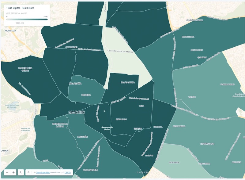
Real Estate Market Analysis: Tinsa Digital Case Study

Find out how using CARTO has empowered Tinsa Digital to prototype Real Estate solutions to manage and visualize large volumes of assets and information.

Read the story
CUSTOMER STORY
Understanding Spatial Trends of London’s Road Accidents

ARUP used CARTO's geospatial technology to reveal hidden trends in London road accidents. Learn more about spatial analysis techniques for transportation.

Read the story
CUSTOMER STORY
Actionable Insights for Improving Broadband Access

HR&A Advisors used CARTO and AWS to analyze broadband gaps, achieving real-time insights and helping underserved communities gain digital equity.

Read the story