

CARTO now integrated with Databricks Spatial SQL & Mosaic AI
Unlock powerful geospatial analytics in Databricks. CARTO's native integration leverages Spatial SQL and Mosaic AI for high-performance, AI-driven insights.


CARTO Wins Two Google Cloud Partner of the Year Awards
CARTO wins at the 2023 Google Cloud Partner of the Year in two categories! Explore our impactful collaboration driving innovation and sustainability.


Introducing the Spatial App Development Summit NYC!
Join the first-ever Spatial App Development Summit! Engage with experts, explore cutting-edge tools, and shape the future of spatial app development.


Spatial Scoring: Measuring Merchant Attractiveness & Performance
Learn how to use Spatial Scoring for Merchant Prioritization in the CPG Industry. Optimize sales and reduce costs with this step-by-step guide.


Spatial Data Science Conference NYC 2023: The Countdown Begins
Read up on the upcoming Spatial Data Science Conference in New York on October 19th, technical workshops on the 18th & how to get tickets.


Cannibalization Analysis: what is it & how can I use it?
Balance competing demands between multiple business locations with our 4-step guide to Cannibalization Analysis: from data collection to decision!


Boosting Retail & CPG Sales with Sentiment Analysis
Leverage sentiment analysis for retail growth. Explore Data Appeal's insights, using sentiment data for strategic business expansion. Free 14-day trial.


Optimizing Site Selection for EV Charging Stations
Optimize EV Charging Site Selection with Spatial Data Science - improve accessibility and convenience, drive revenue, and de-risk growth.


Meet CARTO at Google Next ‘23 in San Francisco
Explore CARTO's cloud-native spatial analytics at Google Next '23 in San Francisco. Join us from Aug 29-31 to witness the power of Location Intelligence!


Spatial interpolation: which technique is best & how to run it
Fix missing or coarse data with Spatial Interpolation. Compare IDW and Kriging methods & follow along with tutorials!


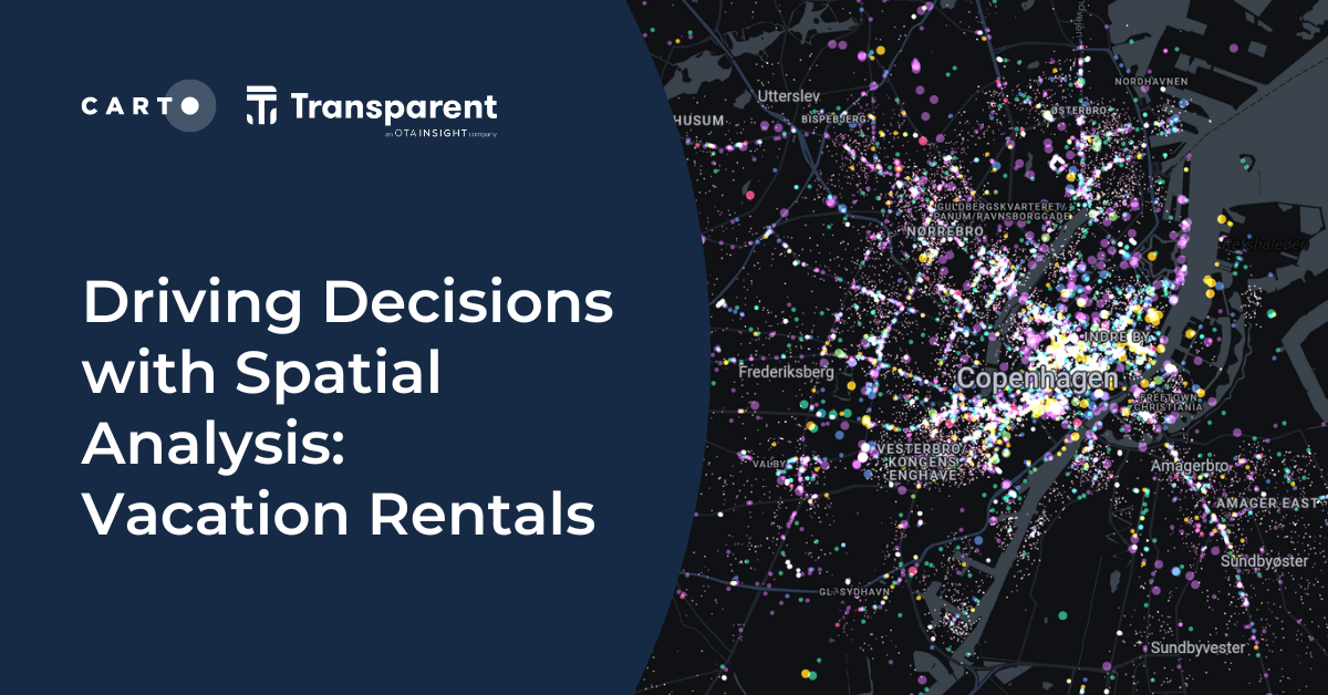
Driving Decisions with Spatial Analysis: Vacation Rentals
Discover spatial trends in vacation rentals & relationships with land use, ft. tutorials on how to conduct this analysis and use it to drive decision-making.


Map tiles: 5 examples to get started
Learn how to effectively visualize geospatial data with tilesets, including a step-by-step guide and 5 examples to inspire you!


Towards a Carbon Neutral Future with CARTO & NetCarbon
Discover how NetCarbon, winners of Planet’s Copernicus Masters competition, leverages CARTO to tackle climate change with scalable satellite data solutions.
Location intelligence resources straight to your inbox
Subscribe to our latest news, product features and events.

Academy


CARTO now integrated with Databricks Spatial SQL & Mosaic AI
Unlock powerful geospatial analytics in Databricks. CARTO's native integration leverages Spatial SQL and Mosaic AI for high-performance, AI-driven insights.


Geospatial Sovereignty: Why it requires both Law and Architecture
Unlock true geospatial sovereignty. This guide explains why a modern tech stack is not enough and how to build a legal and governance framework for your data.
5 best spatial analytics and visualizations of 2025
Discover the best spatial analytics of 2025. Learn how industry leaders use CARTO to analyze historical risk, manage real-time operations, and plan for growth.


.png)


