Lucía is Data Scientist at CARTO, where she develops spatial statistics and machine learning solutions that unveil the hidden potential of location-based data, enabling organizations to maximize the value of geospatial information.
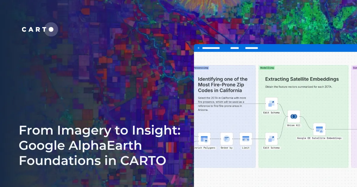
CARTO now lets you run analytics directly on geospatial foundation model embeddings. Visualize, cluster, and detect changes to turn spatial data into decisions.
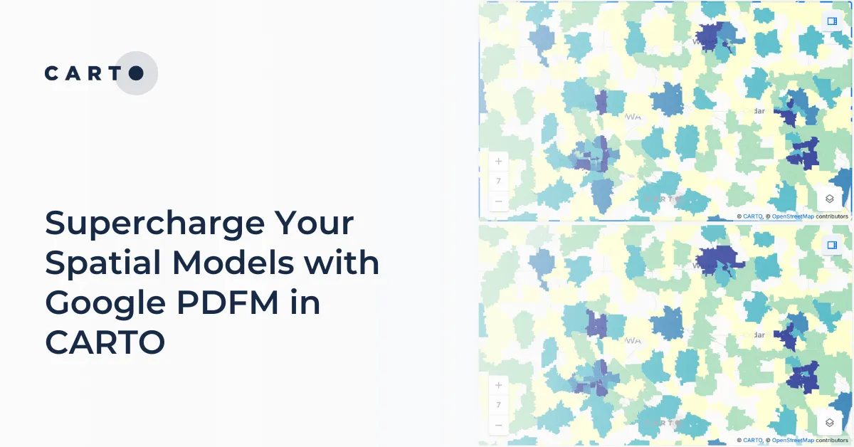
Integrate Google's PDFM embeddings into CARTO Workflows for enhanced spatial models. This blog shows two use cases on how these embeddings improve predictions.
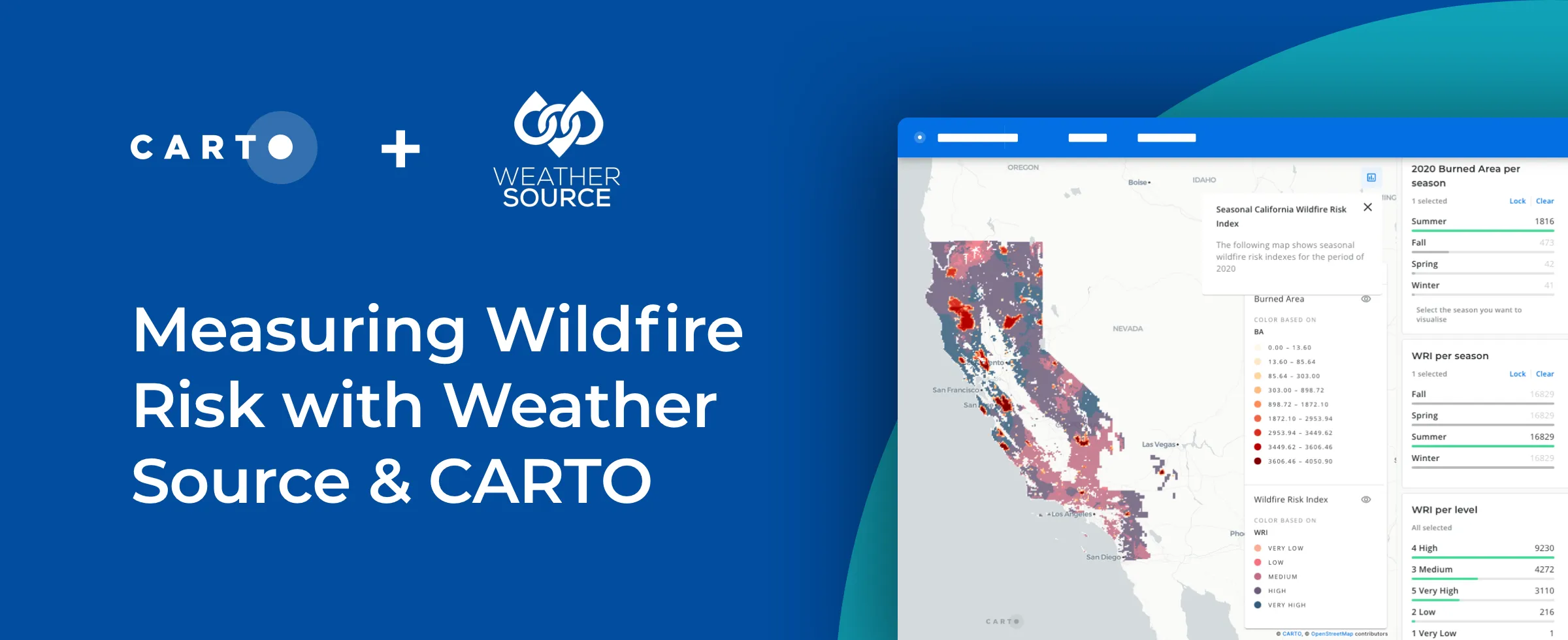
Mitigate wildfire risks with our guide on creating a Wildfire Risk Map. Explore spatial analysis using Weather Source & CARTO for informed decision-making.