

.jpg)


Geospatial Foundation Models: Workshop Takeaways
Explore the state of geospatial foundation models, from representation learning to population dynamics, with insights from the CARTO & BSC workshop.


Spatial Data Monetization Guide: 3 Tips for Success
Wondering if you should offer data as a product? Read this spatial data monetization guide. It includes 3 tips for developing a data monetization strategy.

A Recap of #SDSC22 London
Miss the Spatial Data Science Conference in London? Here’s a quick recap as well as information about #SDSC22 taking place in New York City this fall.

CARTO Joins Databricks at Data+AI Summit
“We’re excited to be sponsoring, attending & presenting at the 2022 Data+AI Summit hosted by Databricks in SF! Learn about the conference at our sessions here."

How ASDA Uses Location Intelligence for Site Selection
Interested in learning how using Location Intelligence can boost your site selection strategy as a retailer? See how ASDA uses this data to make informed expansion decisions.


Ghost Kitchens: Predictive Location Intelligence
CARTO uses Location Intelligence to predict locations of one of the hottest trends in food delivery - ghost kitchens.


Procedural joins CARTO
Learn how this 3D mapping library will help take the visualization capabilities of CARTO’s Location Intelligence Platform to new heights.
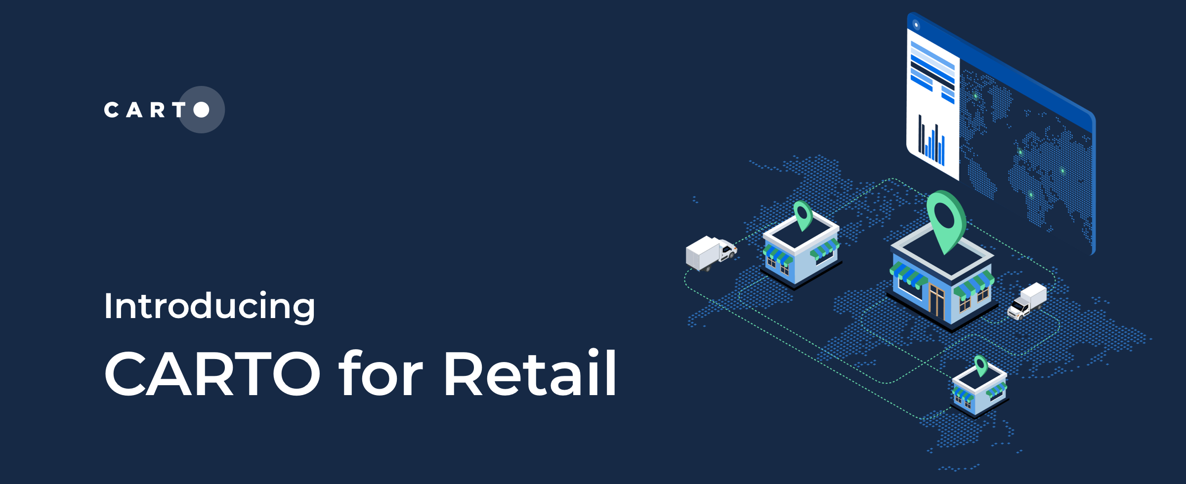

CARTO for Retail, the Spatial Analytics Platform for Global Retailers
We’re excited to introduce CARTO for Retail - the integrated Spatial Analytics Platform for Global Retailers! Learn about our new solution here.

5 Reasons Why OOH Professionals Are Turning to Location Intelligence
“More people in OOH advertising are incorporating GIS & location intelligence data into their media planning. Discover 5 advantages of making data-driven campaigns.”
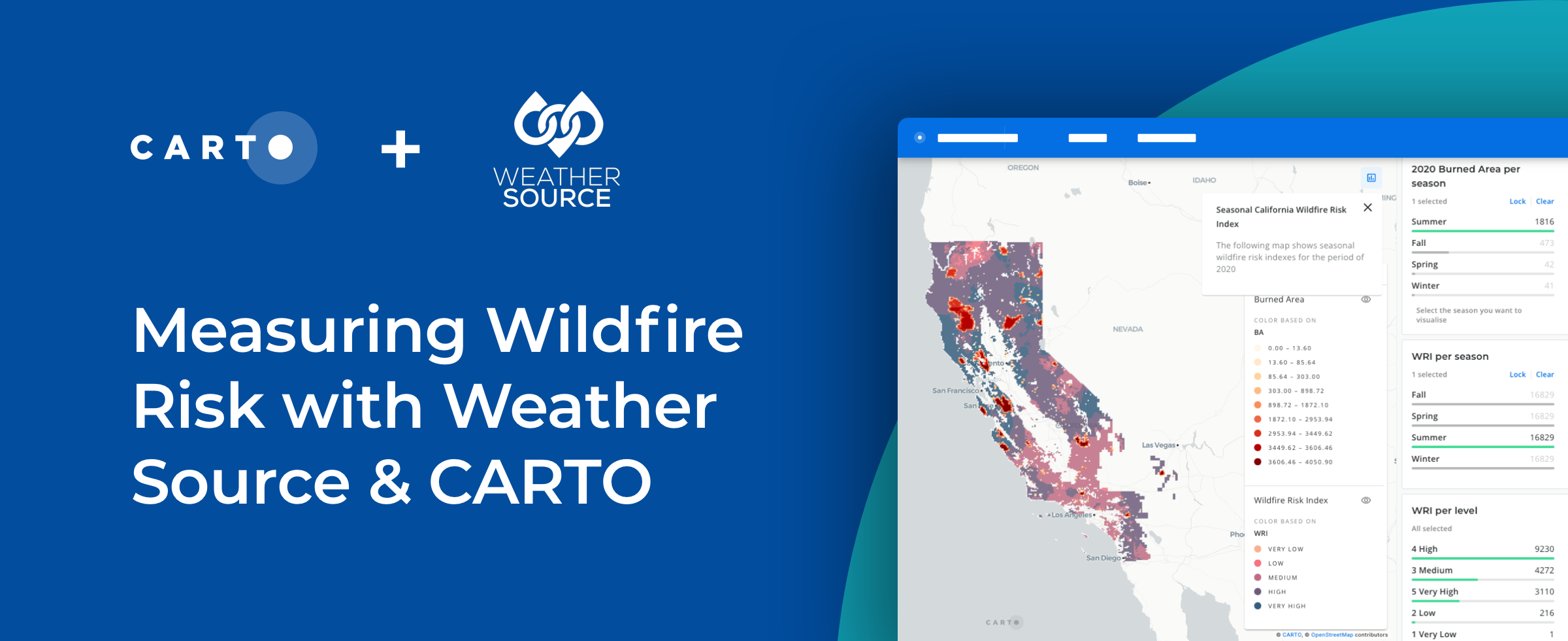


How to Use Spatial Data to Create a Wildfire Risk Map
Mitigate wildfire risks with our guide on creating a Wildfire Risk Map. Explore spatial analysis using Weather Source & CARTO for informed decision-making.
Spatial Leaders Gather in London for #SDSC22
“#SDSC22 London is this week! Join spatial leaders from around the world to discuss & learn about the future of Spatial Data Science."

CARTO at Snowflake Summit 2022 in Las Vegas
“Register for Snowflake Summit 2022 so you don’t miss our talk on how Snowflake and CARTO can help you stay ahead of competitors."

Hexagons for Location Intelligence: Why, When & How?
CARTO explains how using hexagonal grids in your location-based analysis can lead to more efficient analysis and greater insight.

Academy
Geospatial Foundation Models: Workshop Takeaways
Explore the state of geospatial foundation models, from representation learning to population dynamics, with insights from the CARTO & BSC workshop.

CARTO AI Agents now integrated with Oracle Generative AI
CARTO AI Agents are now integrated with Oracle Generative AI, enabling secure, governed Agentic GIS and scalable geospatial AI in Oracle Cloud.

Spatial Analytics in 2026: What's Changing?
Explore how AI, cloud-native tools, and evolving skills are reshaping spatial analytics in 2026, based on insights from 200+ geospatial experts.

