

.jpg)


Geospatial Foundation Models: Workshop Takeaways
Explore the state of geospatial foundation models, from representation learning to population dynamics, with insights from the CARTO & BSC workshop.


What's New in CARTO - Q1 2025
Announcing the latest new features in the CARTO platform from Q1 2025! AI Agents, cloud-native raster, QGIS integrations - and more!


Boost your Spatial Analytics with Snowflake ML in CARTO
Discover how Snowflake ML in CARTO simplifies machine learning for spatial analytics. Easily build, train, and deploy forecasting models in your workflows.

.jpg)
Telco dashboards: Turning accessible data into actionable insights
Discover how CARTO enhances data accessibility, empowering decision-makers with actionable insights to improve network access for senior citizens and communities.


Geo visionary Dr. Chad Jennings joins CARTO’s Advisory Board
Chad Jennings is joining CARTO's Advisory Board. He has been instrumental in shaping the geospatial analytics landscape at companies like Google Cloud & Almanac.
.png)
The first 5 maps everyone needs to make with CARTO
New to CARTO? Start with these 5 essential maps! Learn how to analyze proximity, work with big data, integrate real-time updates, and leverage AI-driven insights.

Seamlessly integrate Google Earth Engine with CARTO Workflows
Seamlessly integrate Google Earth Engine with CARTO Workflows to analyze spatial data at scale - no coding required. Unlock powerful geospatial insights today!


Unlock raster analytics & visualizations - now in your lakehouse!
Unlock raster analytics in your lakehouse! Analyze & visualize raster data natively in CARTO for unmatched scalability, efficiency & cost savings.
.png)

Scale your signal propagation analysis with CARTO Workflows
Scale signal propagation analysis with CARTO Workflows—cloud-native, low-code, and powerful. Optimize 5G planning and network coverage with ease.

CARTO AI Agents: now in public preview!
Discover how CARTO AI Agents are democratizing spatial analysis, making it accessible to all users. Learn about real-life applications revolutionizing geospatial industries.


Automating your spatial workflows in Databricks with CARTO
Automate your geospatial workflows in Databricks with CARTO. Schedule, trigger, and integrate spatial data processes seamlessly using Databricks Workflows.

Space-time anomaly detection for smarter property risk assessment
Learn how to detect crime anomalies & assess property risk in near real-time using CARTO Workflows—low-code spatial analytics for scalable spatial data science
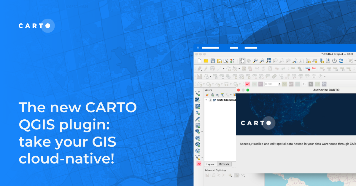
The new CARTO QGIS plugin: take your GIS cloud-native!
Modernize your GIS with QGIS & CARTO for scalable cloud-based analytics. Maximize efficiency, security, and collaboration.

Academy
Geospatial Foundation Models: Workshop Takeaways
Explore the state of geospatial foundation models, from representation learning to population dynamics, with insights from the CARTO & BSC workshop.

CARTO AI Agents now integrated with Oracle Generative AI
CARTO AI Agents are now integrated with Oracle Generative AI, enabling secure, governed Agentic GIS and scalable geospatial AI in Oracle Cloud.

Spatial Analytics in 2026: What's Changing?
Explore how AI, cloud-native tools, and evolving skills are reshaping spatial analytics in 2026, based on insights from 200+ geospatial experts.

