

CARTO now integrated with Databricks Spatial SQL & Mosaic AI
Unlock powerful geospatial analytics in Databricks. CARTO's native integration leverages Spatial SQL and Mosaic AI for high-performance, AI-driven insights.


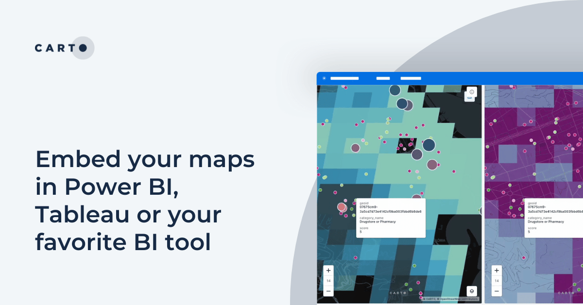
Embed your maps in Power BI, Tableau or your favorite BI tool
Learn how to embed CARTO maps in Power BI, Tableau, and other BI tools to enhance dashboards with interactive spatial data visualization and insights.


CARTO for Databricks: True Native Geospatial for the Lakehouse
Discover CARTO's integration with Databricks, empowering users with native geospatial analytics for enhanced Location Intelligence and streamlined workflows in the Lakehouse.


Recap of SDSC24 NYC & CARTO’s Vision for the Future
Latest innovations in geospatial analytics from CARTO, industry insights, and AI-driven spatial tools showcased at the Spatial Data Science Conference in NYC.


What's New in CARTO - Q3 2024
Announcing the latest new features in the CARTO platform from Q3 2024.


What space-time analysis tells us about the Paris Olympics
Explore space-time analytics through the 2024 Paris Olympics! Discover insights from human mobility data & learn how to leverage spatial analysis tools.


Spatial analysis & visualization for more intelligent tourism planning
Discover how spatial data analysis and visualization empowers tourism organizations to personalize experiences, optimize resources & make strategic decisions.


Urban Mobility Insights with MovingPandas & CARTO in Snowflake
Learn how integrating MovingPandas with CARTO in Snowflake boosts urban mobility analysis by uncovering traffic hotspots and optimizing city transportation.


Discover the Future of Spatial Data Science at SDSC24 New York
Discover the latest in Spatial Data Science at SDSC24 New York! Join us on October 16-17 for insights, workshops, and networking opportunities.


How to retrieve spatial data from APIs, the no code way
Learn how to retrieve spatial data from APIs without coding! Discover the benefits of using REST APIs for scalable and automated geospatial analysis.


Cloud-native Life Sciences analytics with CARTO & Snowflake
Optimize Life Sciences analytics with cloud-native geospatial solutions using CARTO & Snowflake. Scale data insights for improved decision-making.


What is Supply Chain Network Design and How Does It Work?
Improve your supply chain network design! Use spatial analysis to optimize your supply chain design for cost savings, efficiency, resilience & sustainability.


Boost Telecom Analysis with FCC Data - now available on CARTO!
Access FCC telecom data on CARTO for seamless, cloud-native insights! Analyze broadband & mobile availability, speeds, and more for the entire U.S.
Location intelligence resources straight to your inbox
Subscribe to our latest news, product features and events.

Academy


CARTO now integrated with Databricks Spatial SQL & Mosaic AI
Unlock powerful geospatial analytics in Databricks. CARTO's native integration leverages Spatial SQL and Mosaic AI for high-performance, AI-driven insights.


Geospatial Sovereignty: Why it requires both Law and Architecture
Unlock true geospatial sovereignty. This guide explains why a modern tech stack is not enough and how to build a legal and governance framework for your data.
5 best spatial analytics and visualizations of 2025
Discover the best spatial analytics of 2025. Learn how industry leaders use CARTO to analyze historical risk, manage real-time operations, and plan for growth.


.png)


.png)
.png)
.png)


.png)