CUSTOMER STORIES
.png)
Optimizing Last Mile Delivery with Advanced Spatial Analytics

CARTO provides Aramex with a Location Intelligence platform that enables us to make data-driven decisions effectively. The spatial view offers a distinct perspective compared to the traditional numerical approach, helping us understand the data differently and gain insights that would be challenging to obtain otherwise.
Eyas AlBakri
,
Sr. Corporate Operations Manager - Last Mile and Capacity Planning
The Client
Aramex
Aramex is a leading global provider of comprehensive logistics and transportation solutions. Their portfolio of services ranges from international and domestic express delivery, freight-forwarding, logistics and warehousing, to supply chain management, e-business solutions, and retail services, technical support and more. They have a global logistics network comprising of over 17,000 employees across more than 600 offices in over 65 countries.
The Challenge
Exploring valuable location-based data and analysis on a real-time basis
Aramex's Global Last Mile & Capacity Planning team, operating within a global network, faced the challenge of efficiently managing e-commerce demand and optimizing distribution center capacity and allocation. The team previously handled spatial data manually through multiple sources and tools, which proved time-consuming and error-prone. Consequently, Aramex sought a geospatial platform for real-time analysis and integration of internal and external spatial data sources. This was an intuitive way to explore location-based data and enhance decision-making processes.
Results
Visualizing spatially driven problems with ease
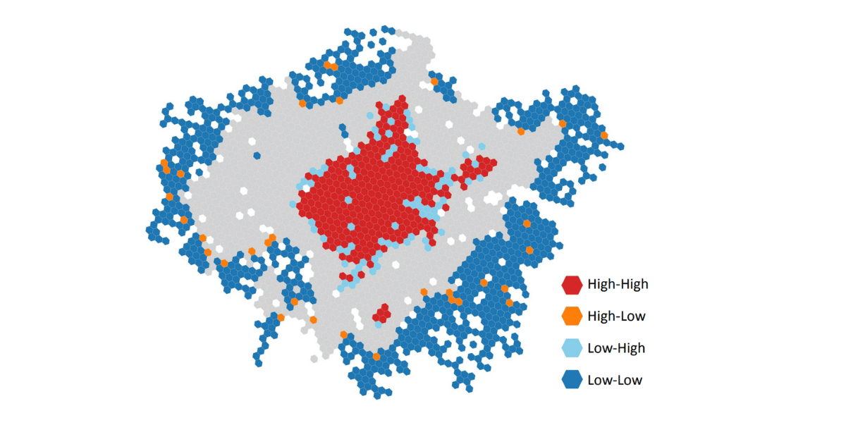
Aramex encountered challenges with spatially-driven deliveries. CARTO plays a crucial role in visualizing the most beneficial outcomes and allows Aramex to process geospatial data, which is summarized and used by their Location Selection and Operations & Business Analysis teams. By leveraging CARTO Workflows and data visualization tools for Site Selection use cases, the team can make accurate and scientifically informed decisions to improve Last Mile Operations. This includes determining optimal dark store locations, identifying the best driving network, and creating isolines and isochrones.

Why CARTO?
A scalable, end-to-end geospatial platform
CARTO’s user-friendly platform has allowed Aramex to seamlessly integrate with their cloud-hosted data, leverage multiple advanced geospatial capabilities in the Analytics Toolbox, allowing them to efficiently detect and quantify patterns and be time-efficient thanks to automated spatial analysis using CARTO Workflows.