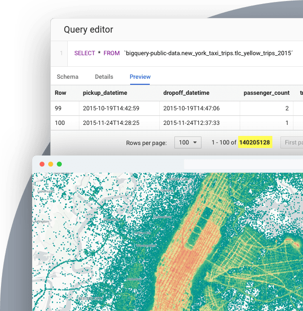
Stunning maps in minutes
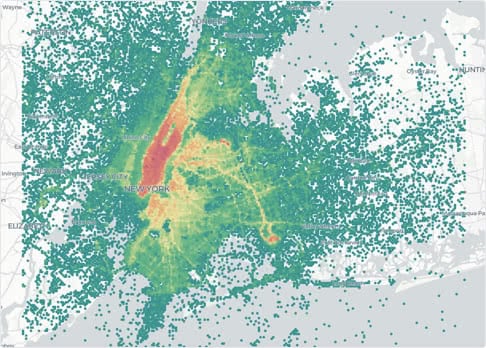
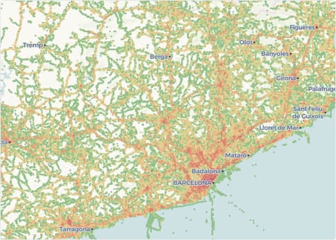
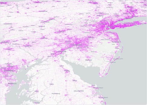
Using Google BigQuery to handle millions or billions of geographic points or Gigabytes of data? CARTO provides you with the only solution to visualize massive spatial datasets without having to move data outside BigQuery, and it works in minutes without ETL, using simple SQL
Produce vector tilesets in minutes directly from SQL
All the power of vector tiles at your fingertips, with no need to install on your BigQuery - it works out of the box. To visualize a dataset simply you need to create a tile set (a representation of the data optimized for map visualizations). You can use a stored procedure and with different options or our CLI tool.
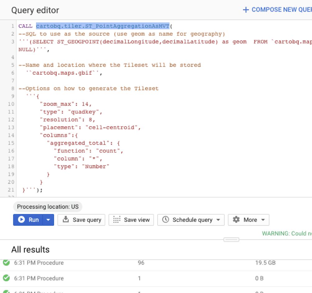
Store tile sets in BigQuery directly
Using our spatial partition for effective storage and consumption, the tilesets generated are stored under tables which are partitioned and optimized for visualization.
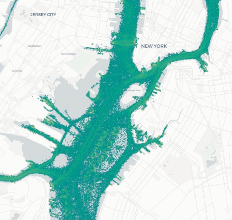
Visualize privately or publicly in CARTO or other tools
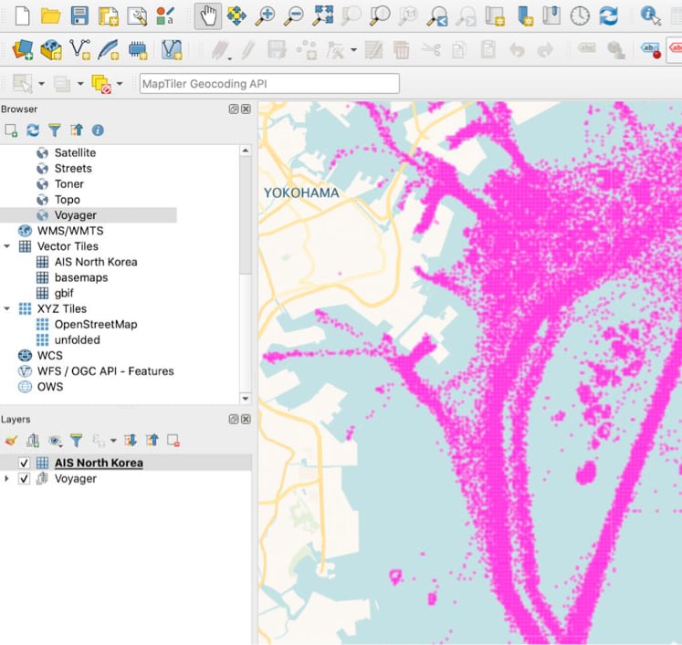
We create standard vector tiles that can be used in many different tools. Under the hood you see vector tiles, which can be used in many different clients, such as CARTO, deck.gl, Mapbox GL, QGIS and many more. The maps can be private or made public with our publishing service upon request.
