

Geospatial Foundation Models: Workshop Takeaways
Explore the state of geospatial foundation models, from representation learning to population dynamics, with insights from the CARTO & BSC workshop.


Map Tiles: Everything You Need To Know
An introduction to map tiles: a method for visualizing big spatial data, including a guide for generating map tiles with Spatial SQL.


CARTO Workflows are here: no code spatial analysis
Introducing CARTO Workflows - a no code tool for processing and analyzing spatial data! Unlock spatial analysis without needing to know SQL or Python.


What's New in CARTO - Q4 2022
Announcing our latest release of CARTO cloud-native features for Q4 2022.


22 of the best maps, visualizations & analysis from 2022
A round-up of some of our favorite pieces of analysis, maps and visualizations using CARTO from 2022 in areas including retail, transport, climate & more!


3 ways to load geospatial data into Redshift
Looking to load geospatial data into Amazon Redshift? Find out how to do this using Python, GDAL, Airbyte & dbt.


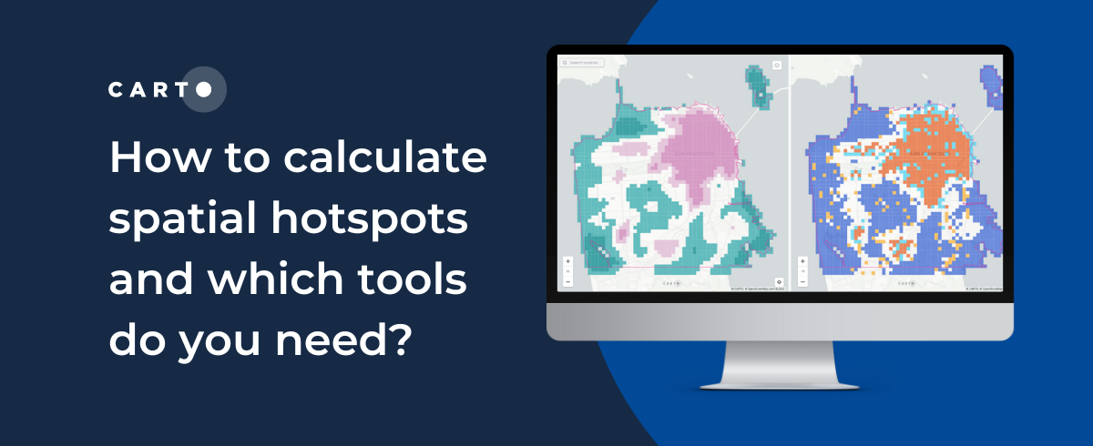
How to calculate spatial hotspots and which tools do you need?
A comparison of the main spatial hotspot tools and which is best for your use case, including a guide on how to use and interpret these.


CARTO for CPG - Integrated Spatial Analytics for Consumer Brands
Spatial analytics & data to drive better CPG trade marketing & channel expansion strategies.


Tableau vs Power BI: Why you should stop using them for spatial analysis
Tableau vs Power BI: why these tools aren’t optimal for spatial analysis. Explore limitations & find solutions for handling complex geospatial data effectively.


CARTO Brings Cloud-Native Location Intelligence to G-Cloud
CARTO's cloud-native Location Intelligence platform is now available as a G-Cloud Supplier in the Crown Commercial Services Digital Marketplace.


The Ultimate Guide to OpenStreetMap & BigQuery
A guide to the pros & cons of OpenStreetMap geospatial data, and how to access it via Google BigQuery


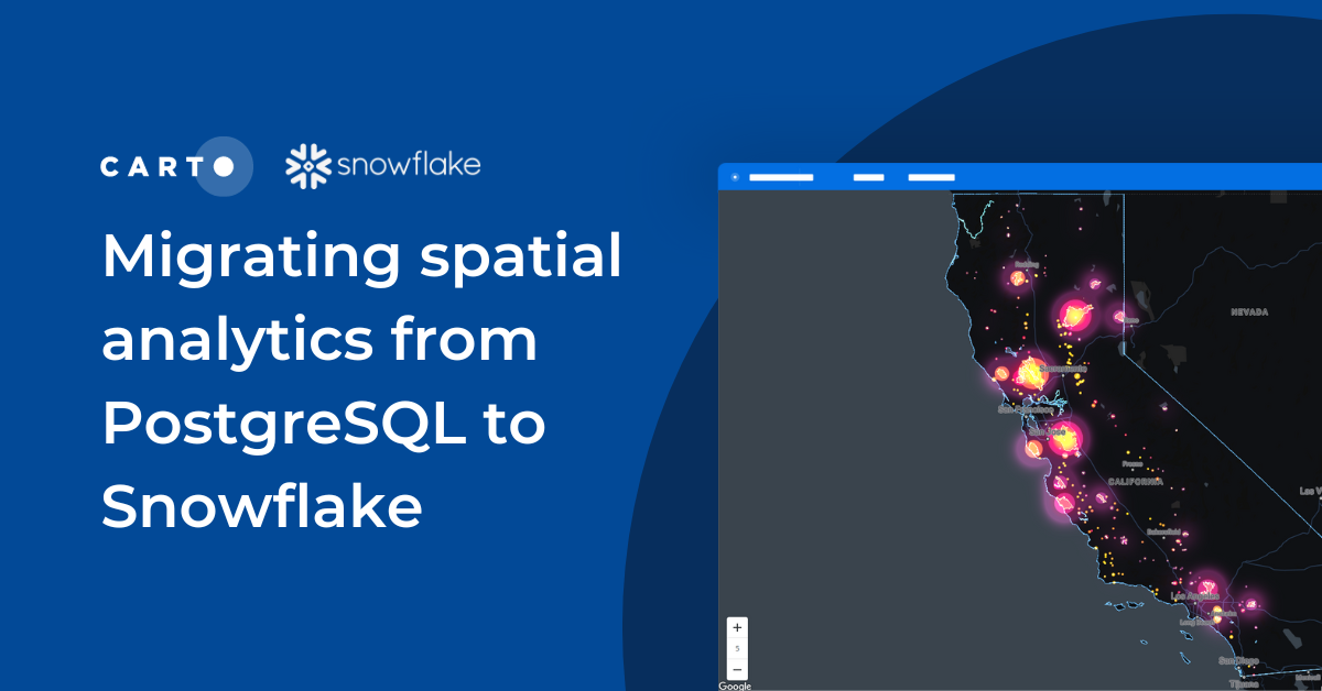
Migrating spatial analytics from PostgreSQL to Snowflake
Discover seamless migration steps from PostgreSQL to Snowflake for advanced spatial analytics. Unleash the power of CARTO for scalable, performant workflows.


Climate change data now available in CARTO thanks to The Climate Data Factory
The Climate Data Factory's (TCDF's) ready-to-use forward-looking climate change data is now available in the CARTO Data Observatory.
Location intelligence resources straight to your inbox
Subscribe to our latest news, product features and events.

Academy
Geospatial Foundation Models: Workshop Takeaways
Explore the state of geospatial foundation models, from representation learning to population dynamics, with insights from the CARTO & BSC workshop.


CARTO AI Agents now integrated with Oracle Generative AI
CARTO AI Agents are now integrated with Oracle Generative AI, enabling secure, governed Agentic GIS and scalable geospatial AI in Oracle Cloud.


Spatial Analytics in 2026: What's Changing?
Explore how AI, cloud-native tools, and evolving skills are reshaping spatial analytics in 2026, based on insights from 200+ geospatial experts.


.jpg)
.png)


