

Geospatial Foundation Models: Workshop Takeaways
Explore the state of geospatial foundation models, from representation learning to population dynamics, with insights from the CARTO & BSC workshop.


How To Optimize Location Planning For Wind Turbines
Optimize wind farm locations with our guide on location planning for wind turbines. Explore criteria, spatial analysis, and use CARTO for a free trial.


Risk assessment solutions for Insurance - CARTO & g-Xperts
Learn how g-Xperts have worked with CARTO to develop a series of cloud-native geospatial applications, including an advanced risk exposure solution.


Get started with spatial at the Spatial Data Science Bootcamps
Missed the first Spatial Data Science Bootcamp in London? Here’s a recap of the event and information about future events.


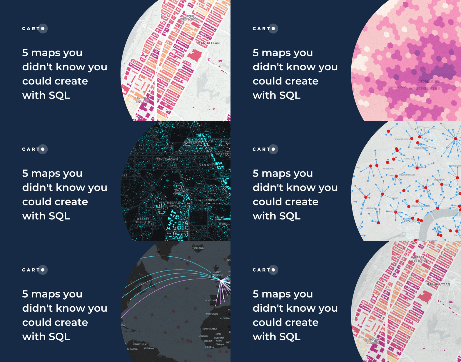
5 maps you didn't know you could create with SQL
Did you know you can use Spatial SQL to create amazing maps and data visualizations? Learn how with these five examples.


Raster data in BigQuery: Unlock new forms of spatial analysis
Learn how to combine your vector and raster-based analytics in the cloud for extra insights and new types of analysis.


How to use Location Intelligence to grow London's brunch scene
How to use Location Intelligence tools to establish new opportunities for specific restaurant types, based on geosegmentation and catchment areas.


Finding that Spatial someone: using analytics to find love
What role does location play in dating apps? This guide shares how spatial analysis can be used to optimize dating apps with real examples.


Women in STEM: reflections & advice from CARTO's experts
To mark Women in STEM day 2023, we interviewed experts across CARTO to hear advice and reflections on a career in STEM.


Meet CARTO at Mobile World Congress 2023
We're excited to be attending Mobile World Congress 2023 in Barcelona! Join us to find out how we're helping Telco companies turn data into insight.


Calculating Routes at Scale using SQL on BigQuery
A guide to route optimization using Google BigQuery, a cloud-native & scalable alternative to PgRouting & Network Analyst.


Why use Data Warehouses for Geospatial Analysis
Why use BigQuery, Snowflake, Redshift & Databricks for geospatial analysis? Explore with a real-life example.


How to get your colleagues & clients excited about geospatial
A guide to getting your colleagues & clients excited about geospatial technology and spatial analysis, with practical tips and advice
Location intelligence resources straight to your inbox
Subscribe to our latest news, product features and events.

Academy
Geospatial Foundation Models: Workshop Takeaways
Explore the state of geospatial foundation models, from representation learning to population dynamics, with insights from the CARTO & BSC workshop.


CARTO AI Agents now integrated with Oracle Generative AI
CARTO AI Agents are now integrated with Oracle Generative AI, enabling secure, governed Agentic GIS and scalable geospatial AI in Oracle Cloud.


Spatial Analytics in 2026: What's Changing?
Explore how AI, cloud-native tools, and evolving skills are reshaping spatial analytics in 2026, based on insights from 200+ geospatial experts.


.jpg)
.png)
.png)


.png)
.png)
.png)

.png)


