Cloud Native
Automating your spatial workflows in Databricks with CARTO
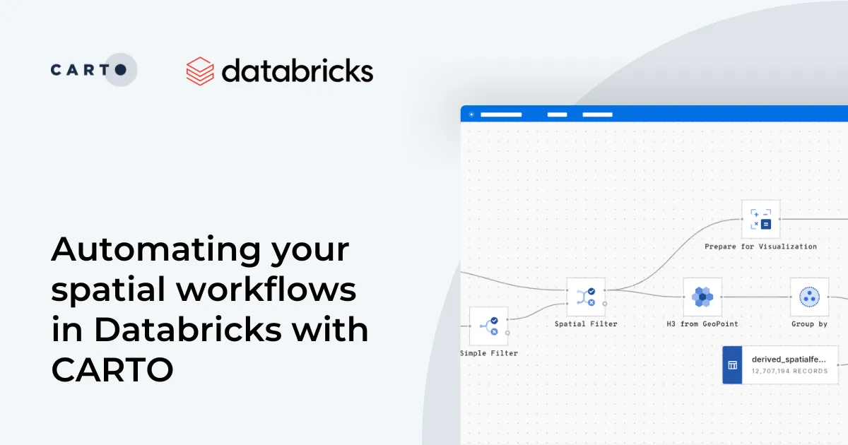
Automate your geospatial workflows in Databricks with CARTO. Schedule, trigger, and integrate spatial data processes seamlessly using Databricks Workflows.
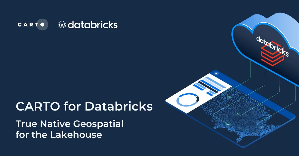
CARTO + Kepler.gl: Two Tools, One Workflow
Kepler.gl and CARTO users can now work seamlessly across both tools. Our integration adds a new cloud storage feature to Kepler.gl, allowing users to share and save maps privately using CARTO.
Top Location Intelligence and Spatial Stories
Celebrating the top stories, tips and tricks, tech updates, and of course, cool maps from around the worlds of Location Intelligence and Spatial Data Science
Google Fusion Tables Turndown: An Alternative to Keep Mapping
If you're trying to find a Google Fusion Tables alternative, CARTO has you covered. Keep mapping and much more with our full stack Location Intelligence platform.


New spatial functions in BigQuery, starting with Uber H3-js
CARTO is working very closely with the Google BigQuery team, bringing in new spatial functions and supporting the creation of a next generation spatial data infrastructure stack.


Live Connections to Remote Databases with Federated Tables
Federated tables allow CARTO users to combine data hosted in CARTO with data that lives in a remote database such as Amazon Aurora and Microsoft Azure
Charting New Terrain in eCommerce with Pitney Bowes
CARTO partners with Pitney Bowes to integrate location intelligence into global commerce, enhancing data visualization and analysis
Things are moving fast in the mapping community #SOTMPDX
Explore the significant events of 2012 in the world of maps, from Google's charging to OpenStreetMap's rising influence. Exciting times ahead for online mapping
Academy


Live maps with automated Workflows integrations are here
Create live, always-updated maps with CARTO by integrating Workflows and Builder. Automate geospatial analysis to visualization in one step.


Introducing User Comments: boost collaboration in your maps
Boost team collaboration with User Comments in CARTO Builder—add, track, and resolve feedback directly on your enterprise maps.


Navigate global risk with MBI CONIAS Political Risk data
Monitor and forecast global political risks with MBI CONIAS data - spatial, predictive, and ready to support smarter decisions in volatile regions.