Geocoding
Bad data in means bad data out. Discover how you can speed up your spatial analysis & increase the quality of your geocoding using our platform.
What is geocoding or reverse geocoding?
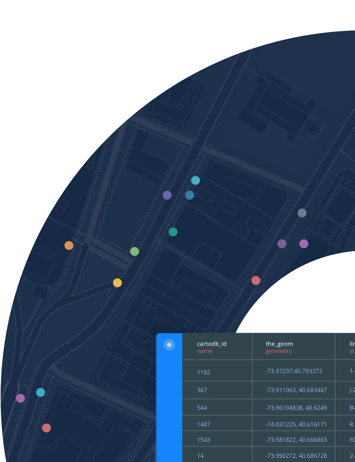
Geocoding is the process of assigning longitude and latitude values to street addresses, whilst reverse geocoding is the opposite: identifying the addresses of locations. Geocoding is a key challenge for many GIS professionals & data analysts in enterprise where high-quality location data is critical to provide effective spatial insights.
How can CARTO help with the geocoding process?
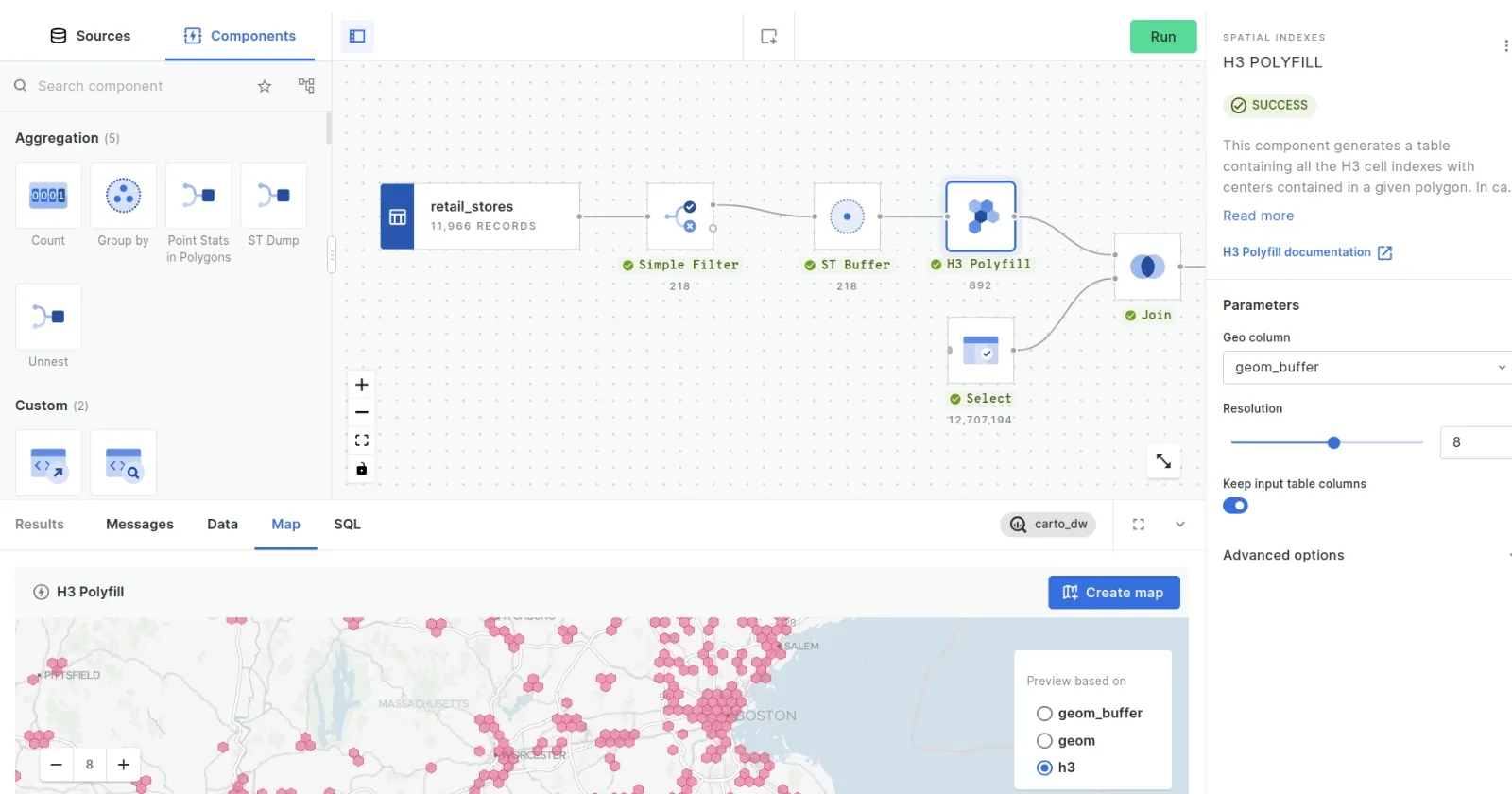
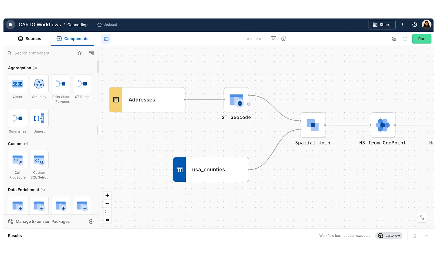
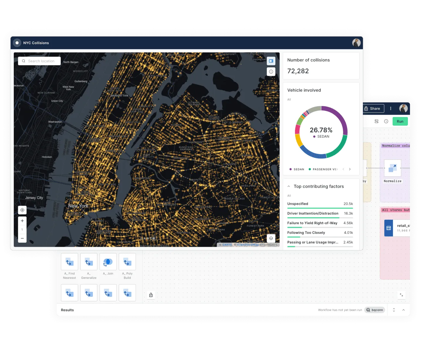
Our geocoding services are powered by market leaders such as TomTom, TravelTime and HERE, allowing users to rapidly turn high volumes of address descriptions into latitude and longitude values - all using our low-code tools. You can also store your geocoded data, providing more efficiency in your processes.


Why is geocoding a challenge for many organizations?
Reliable geocoding is fundamental for many spatial use cases, particularly where precision matters (e.g. property insurance). Many companies face challenges here, particularly if they are looking to process data across many different countries due to different sources of reference data and aggregation standards.
As well as solving this problem with our platform, our Professional Services team also has extensive experience working on highly sophisticated enterprise geocoding challenges and can provide support to improve your workflows and data quality.

Why CARTO
Value for money
Stop wasting money on re-geocoding data. Store your data & find new efficiencies in your geocoding processes.
High-quality data
Powered by market leaders, CARTO platform provides precision & accuracy.
Extensive connectivity
Need to connect to other geocoding services such as Google Maps? CARTO makes it easy.
Frequently asked questions
CARTO leverages industry-leading providers like TomTom, TravelTime, and HERE to deliver high-accuracy geocoding. The precision depends on the quality of input data and geographic region but is reliable for most business applications.
Yes, CARTO offers flexible APIs and low-code tools that easily integrate with your existing systems. You can automate, schedule, and trigger geocoding analysis - operationalizing your spatial processes and embedding them seamlessly into your broader data infrastructure.
With a fully cloud-native approach, CARTO's platform is built for scale, allowing rapid batch geocoding of high volumes of addresses with efficient data storage to streamline repeated queries and improve process efficiency.
Related content