Supply Chain Optimization
Minimizing costs in Supply Chain Optimization, while fulfilling increasingly high consumer expectations is an inherently spatial challenge. See how location data help along the way.


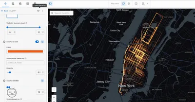
Route Optimization
The vehicle routing problem (VRP) isn’t just about finding shorter routes or less routes, it’s a strategic way to reduce costs & your fleet’s carbon footprint.
By considering the spatial components in supply chain networks & gaining more visibility of your assets, you can create more spatially compact routes for your fleet to reduce fuel & maintenance costs, using new data streams such as road traffic & weather as part of your constraint-based optimization.
.webp)
.webp)
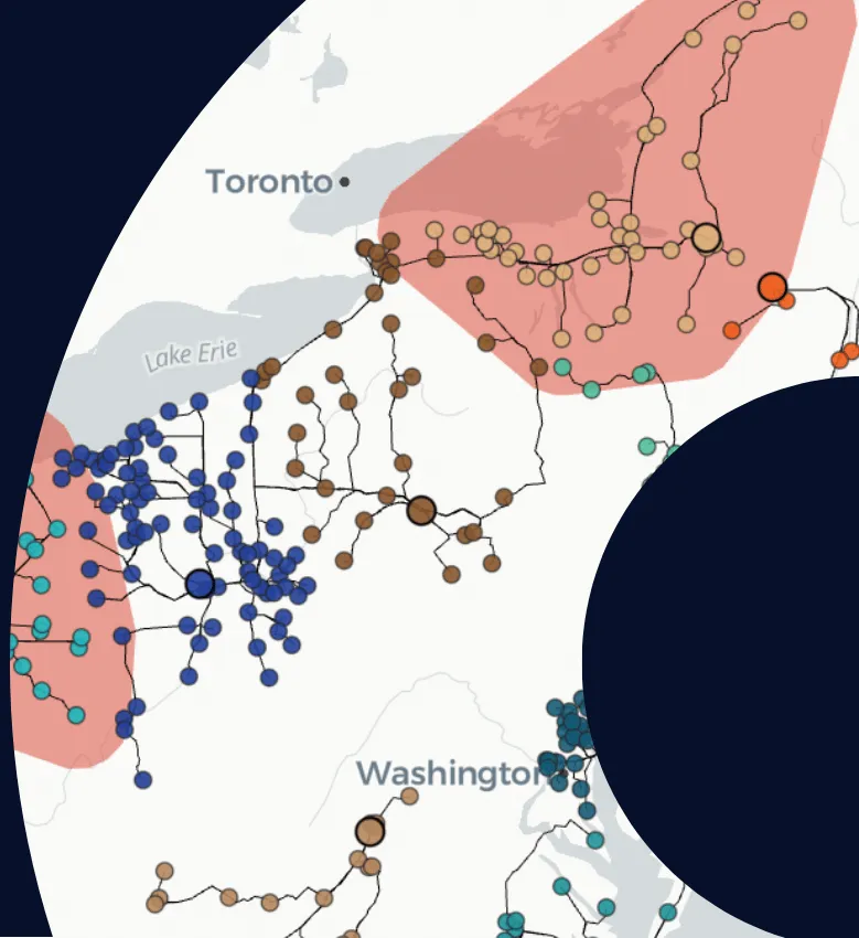
Last-Mile Logistics
Real-time on-demand transportation challenges are on the rise as consumers continue to adopt new food & grocery delivery services.
Unlike traditional VRPs, users expect an immediate response & accurate ETAs as part of the customer experience. Whether you need to look at historic data to optimize the locations of riders or ghost kitchens, or you are planning expansion into new markets - our platform enables the rapid analysis & enrichment of spatial data to support your decisions.
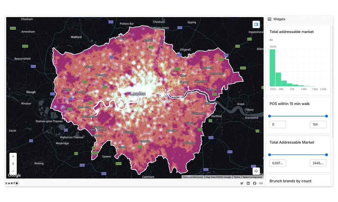
Demand Modeling
With rapidly evolving customer preferences & an unprecedented pace of change in regulation, being able to accurately forecast demand in existing & new markets can help your organization to better monitor resources & cut costs.
Using spatial models you can simulate demand enriching with data streams relating to events or weather, providing insights to predict & test future demand scenarios.
.webp)
Get inspired by our customers
The ability to scale our data is a big selling point, as well as the features in the Analytics Toolbox. I also love how easy it is to plot something using CARTO Workflows. As a team leader, I am looking forward to what we can create and achieve using CARTO.


Working with the CARTO platform has helped take our Location Intelligence strategy to the next level. The platform's rich set of data analytics features and cloud-native approach helps us deliver outstanding insights that fuel our strategy, execution, and performance measurement.