How to use this data in CARTO?

Get started in a matter of minutes with a free trial account. Simply sign up here.

Discover datasets to enrich your analysis, by category, country or provider.

Bring new datasets into your analysis using our Data Observatory, augmenting the data you're already using in CARTO.
.jpg)

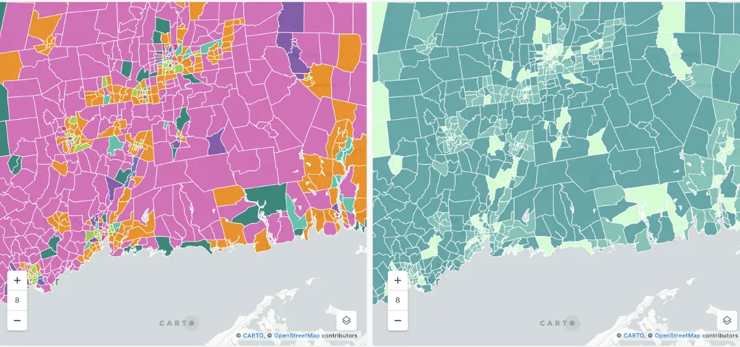
Example of Analysis with COVID-19 Data
Local Governments
Local governments (such as New York City) rely on our COVID-19 data to gain insights that measure the risk of overcrowding by station. In this example, NYC was able to blend MTA turnstile data with Safegraph’s human mobility data to identify which subway stations were at higher risk during the COVID-19 outbreak.

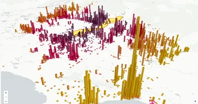
Example of Analysis with COVID-19 Data
Outdoor Advertising Firms
Outdoor Advertising firms turn to geosocial data to understand consumer behaviour trends. After COVID-19, there were some clear patterns such as more political debate, as well as trends relating to family and faith. This data can provide OOH firms with unique insights to drive better campaign ROI.

Example of Analysis with COVID-19 Data
Government Healthcare Departments
Government healthcare departments are using COVID-19 data with CARTO and Google BigQuery to provide dashboards to track and monitor cases and risk in the US. This example brings together data on population, poverty rates, cases and deaths to provide insights to drive decisions around resource allocation.
DISCOVER OTHER SPATIAL DATA CATEGORIES

Property statistics, prices, and history to drive decisions and investment.
.svg)
The most recent census data including: age, income, household types, and more.
.svg)
Consumer Spending, Purchasing Power and Wealth indicators.

Data from routing apps and GPS to analyze traffic patterns and commuters.

Mobile device and GPS data provide insight into human movement patterns.

Location data for business establishments, restaurants, schools, attractions, …
.svg)
Climate and weather data, including exposure to weather-based hazards.
Browsing habits, app usage, feelings and experiences shared over social media platforms, ...

Digital boundaries for data aggregation and display on a map.