

.jpg)


Geospatial Foundation Models: Workshop Takeaways
Explore the state of geospatial foundation models, from representation learning to population dynamics, with insights from the CARTO & BSC workshop.
.png)

VFMatch.org: The First Mapping-and-Matching Global Health Platform
Learn about the pioneering platform VFMatch.org which harnesses the transformative potential of geospatial data in healthcare.


What's New in CARTO - Q3 2023
CARTO Q3 2023 Update: learn about new spatial analytics & data visualization features including enhancements to workflows, SQL parameters & more.


Dynamic Tiling: The key to highly performant cloud-native maps
Elevate cloud-native mapping of big data with CARTO's Dynamic Tiling. Seamlessly integrate interactive maps in your apps without compromising speed.
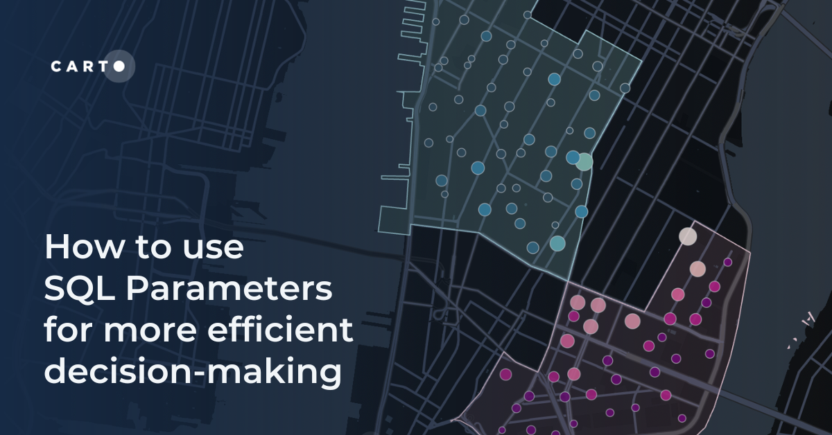


How to use SQL Parameters for more efficient decision-making
Make decisions more efficiently with SQL parameters. Follow this step-by-step guide exploring data-driven insights from Citi Bike analytics.
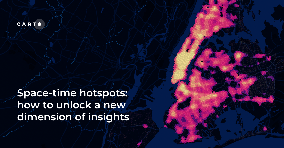
Space-time hotspots: how to unlock a new dimension of insights
How to use Space-Time Clustering to generate insights & optimize decision making with this step-by-step guide.
.png)
Bringing Spatial Data Science Bootcamps to Paris, Tokyo & Beyond
Join us at a Spatial Data Science Bootcamp, lined up worldwide. Grow your expertise on Spatial SQL, Python, the modern geospatial stack & more.


CARTO Wins Two Google Cloud Partner of the Year Awards
CARTO wins at the 2023 Google Cloud Partner of the Year in two categories! Explore our impactful collaboration driving innovation and sustainability.

Introducing the Spatial App Development Summit NYC!
Join the first-ever Spatial App Development Summit! Engage with experts, explore cutting-edge tools, and shape the future of spatial app development.


Spatial Scoring: Measuring Merchant Attractiveness & Performance
Learn how to use Spatial Scoring for Merchant Prioritization in the CPG Industry. Optimize sales and reduce costs with this step-by-step guide.
.png)
Spatial Data Science Conference NYC 2023: The Countdown Begins
Read up on the upcoming Spatial Data Science Conference in New York on October 19th, technical workshops on the 18th & how to get tickets.

Cannibalization Analysis: what is it & how can I use it?
Balance competing demands between multiple business locations with our 4-step guide to Cannibalization Analysis: from data collection to decision!


Boosting Retail & CPG Sales with Sentiment Analysis
Leverage sentiment analysis for retail growth. Explore Data Appeal's insights, using sentiment data for strategic business expansion. Free 14-day trial.

Academy
Geospatial Foundation Models: Workshop Takeaways
Explore the state of geospatial foundation models, from representation learning to population dynamics, with insights from the CARTO & BSC workshop.

CARTO AI Agents now integrated with Oracle Generative AI
CARTO AI Agents are now integrated with Oracle Generative AI, enabling secure, governed Agentic GIS and scalable geospatial AI in Oracle Cloud.

Spatial Analytics in 2026: What's Changing?
Explore how AI, cloud-native tools, and evolving skills are reshaping spatial analytics in 2026, based on insights from 200+ geospatial experts.

