

Spatial Data
.png)

.jpg)


Raster data in BigQuery: Unlock new forms of spatial analysis
Learn how to combine your vector and raster-based analytics in the cloud for extra insights and new types of analysis.


The Ultimate Guide to OpenStreetMap & BigQuery
A guide to the pros & cons of OpenStreetMap geospatial data, and how to access it via Google BigQuery


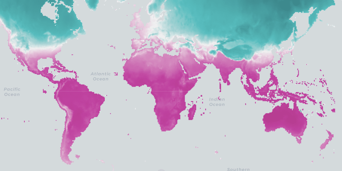
Climate change data now available in CARTO thanks to The Climate Data Factory
The Climate Data Factory's (TCDF's) ready-to-use forward-looking climate change data is now available in the CARTO Data Observatory.


Analyzing Sentiment & Footfall in Post-COVID Berlin
Follow along as Data Appeal uses CARTO’s Location Intelligence platform to evaluate tourism in Berlin post-COVID.

Cost of Living Crisis: Location Intelligence for Energy Efficiency
Improved availability & analytics of residential energy performance data will be a powerful tool to help during this crisis. Learn more & see it in action.

Hexagons for Location Intelligence: Why, When & How?
CARTO explains how using hexagonal grids in your location-based analysis can lead to more efficient analysis and greater insight.


What You Should Know About Spatial SQL
“Spatial SQL is a rising star in spatial analysis, and for good reason. Learn about the advantages of learning and using Spatial SQL here.”


Introducing GeoParquet: Towards geospatial compatibility between Data Clouds
At CARTO, we're proud to release the first community proposal to standardize the storage of geospatial vector data in GeoParquet! Learn about our full goal.


CARTO Spatial Features, now with global urbanity, climatology, & elevation data
We are pleased to announce the release of a new version of CARTO Spatial Features, including new variables for urbanity level, elevation, & climatology

CKDelta’s international human mobility data now available in CARTO
We are pleased to announce our partnership with CKDelta & the inclusion of their human mobility data within our Data Observatory. Learn more & see key use cases.


The Data Appeal Company POI & Sentiment Data now available in CARTO
We are pleased to announce our partnership with The Data Appeal Company, a leader in POI & visitor sentiment data, & their inclusion in our Data Observatory


Building a Spatial Model to Classify Global Urbanity Levels
How can we measure levels of urbanity? Learn how our team designed a spatial model able to classify urbanity levels globally & with high granularity

Academy

What’s new in CARTO - Q4 2025
Discover what’s new in CARTO Q4 2025, including Agentic GIS, AI-powered spatial analysis, MCP tools, analytics on embeddings, and enterprise governance updates.

The State of Spatial Analytics 2026 - Register interest!
Key findings from the survey reveal major changes since 2024. Register interest now and get early access to the State of Spatial Analytics 2026 Report.
What is Agentic GIS?
Discover Agentic GIS: AI-powered spatial analysis that automates workflows, amplifies GIS expertise, and delivers actionable geospatial insights.