

Spatial Data
.png)

.jpg)


COVID-19 Inequality in the US: How Coronavirus is killing more Black Americans
Using data from the COVID Racial Data Tracker we calculate the mortality risk from COVID-19 for Black Americans & visualize the results.

WorldPop in CARTO: global demographic insights at high granularity
WorldPop global demographic data is now available in our Data Observatory for spatial analysis at fine spatial resolution.


New Location Data Available for COVID-19 Recovery Analysis
Location Data Streams from Apple, Unacast, Safegraph, & others now available for Spatial Analysis in our Data Observatory to aid in post COVID-19 recovery.


Open Data on COVID-19 Now Available in Data Observatory
CARTO makes available a set of COVID-19 related datasets as public data in the Data Observatory v2.0

Spatial.ai in CARTO: Geosocial Data Insights During & Post COVID-19
Geosocial Data is now available in CARTO through our partnership with Spatial.ai. See how location-based social media data can be used in spatial analysis.
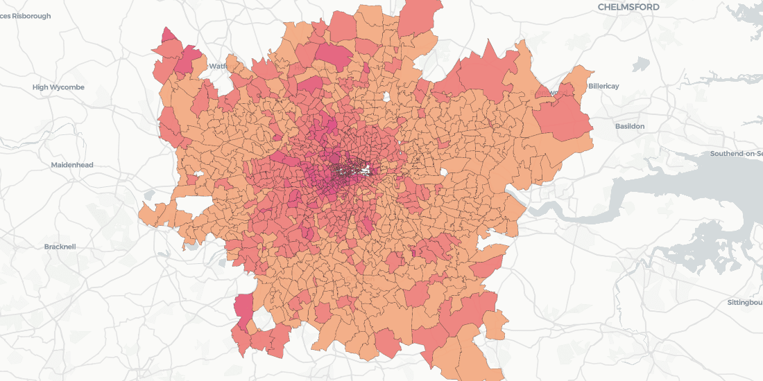

Doorda in CARTO: UK Demographics, Socio-economic Data, and More
Trusted, business-ready data for the UK is now available in CARTO through our partnership with Doorda. These datasets will reduce data cleaning and prep time and allow you to get straight to analysis.

5 Facts: Out of Home Advertising in 2020
5 facts that show that Out Of Home is the future of the advertising industry

Real Estate Market Analysis: Top 5 Data Streams
Real Estate Market Analysis needs to be data-driven, and given the spatial nature of Real Estate investment, you want the data that you are leaning on to be spatial data

Enrich Spatial Analysis with Landgrid's Nationwide Parcel Data
Landgrid brings their nationwide parcel data, which Boasts over 143 million land parcels across 2,800 counties, to the CARTO Data Observatory

Spanish Residential Real Estate data in CARTO with Tinsa Digital
With new technology solutions and modern, verified data, real estate analysis no longer needs to be carried out in manual and rudimentary ways


Calculating Catchment Areas with Human Mobility Data
Traditional approaches like isochrones or buffers fail to capture where people visiting a specific location actually come from. Learn how to build better Catchment with Human Mobility Data.

CARTO's Data Observatory 2.0, now powered by Google BigQuery
By working with Google BigQuery, the Data Observatory is transforming into the most cost effective and advanced spatial data infrastructure.

Academy


CARTO & Snowflake: Location Intelligence for Energy and Utilities
CARTO and Snowflake expanding cloud-native Location Intelligence for Energy and Utility organizations, unifying IoT data for resilient operations.

How to get your colleagues and clients excited about geospatial
A practical guide to building internal buy-in for geospatial, with tips on making the case to non-technical colleagues and leaders, speaking the right language.
Nagarro & CARTO: Advancing Enterprise AI Transformation
CARTO and Nagarro partner to help enterprises move AI from pilots to production, embedding Location Intelligence into existing workflows and systems.