Esri, formerly known as Environmental Systems Research Institute, is a Geographic Information System (GIS) technology. It was founded in 1969 by Jack and Laura Dangermond, and headquartered in Redlands, California, USA.
The company develops GIS software, providing geospatial solutions, and offering consulting services for various industries such as government, natural resources, utilities, and many others.
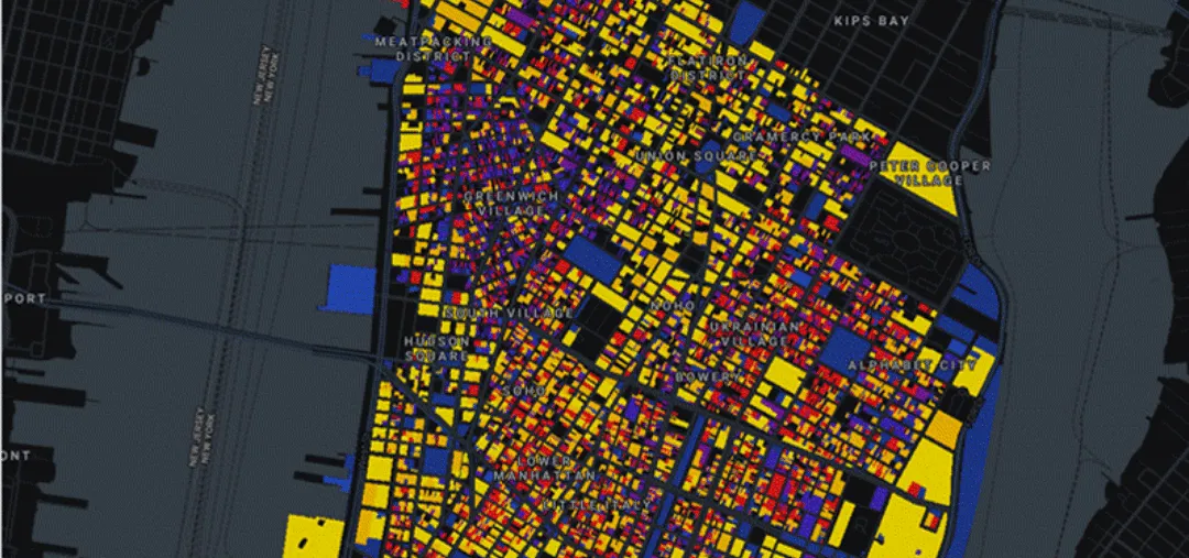
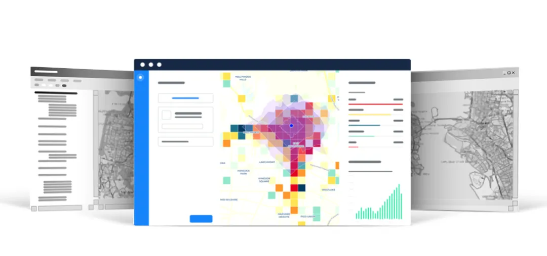
Esri’s main product is ArcGIS, which offers a suite of software tools to enable users to collect, manage, analyze, and visualize geographic data. ArcGIS includes desktop, mobile, and web-based applications for mapping, spatial analysis, and data management.
Esri’s technology is used by organizations worldwide for purposes ranging from urban planning to environmental management and business analytics. While Esri’s ArcGIS is widely recognized as a leader in the GIS industry, organizations may choose to explore other alternatives depending on their specific requirements, budget, and preferences.