


CARTO AI Agents now integrated with Oracle Generative AI
CARTO AI Agents are now integrated with Oracle Generative AI, enabling secure, governed Agentic GIS and scalable geospatial AI in Oracle Cloud.


Using Location Intelligence to Combat Litter with PMI
In partnership with Philip Morris International, Litterati, & Cortexia, read how Spatial Data is being used to combat litter beginning with Lisbon, Portugal.

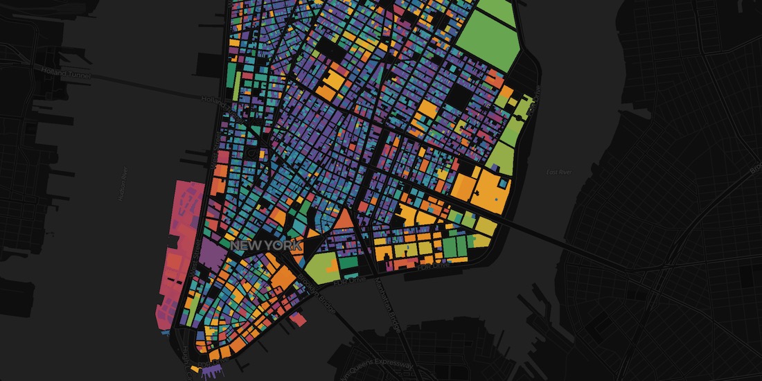
Map of the Month: Coffee Supply Chain Traceability
For our Map of the Month read how Enveritas use CARTO to analyze the traceability & sustainability of coffee supply chains around the world.


ATTOM in CARTO: School District Boundary Maps
School District Boundary Data from ATTOM Data Solutions is now available within our Data Observatory for use in your models & spatial analyses

Fintech Spatial Data Science Masterclass with J.P.Morgan
Read a summary of the DeepFin (where Fintech meets Deeptech) Investor Masterclass we recently held with J.P.Morgan, a leading global financial services firm.
Raster vs Vector Maps: What's the Difference & Which are Best?
A look at the key differences of raster vs vector maps for geospatial data visualization, advantages & disadvantages of each, & which are the best.


CARTO BigQuery Tiler is Now Available for Google Cloud Platform
Discover CARTO BigQuery Tiler, the only solution to visualize large location datasets straight out of Google BigQuery. Start creating stunning maps in minutes.

Where Do Expats Invest in Property on the Spanish Coast?
See how idealista used geospatial analysis & real estate location data to uncover fascinating insights on coastal property demand in Spain

CARTO & Google Cloud Announce Partnership
CARTO is now a Google Cloud Partner & available on the Google Cloud Platform Marketplace enabling analysis & visualization within a rich ecosystem.

Using Location Intelligence to return to Valencian beaches
Play&go with the collaboration of dotGIS develops an app using CARTO's platform to ensure health & safety on the beaches of Valencia, Spain.

Building COVID-19 Dashboards with Google BigQuery
See how private & public sector organizations use Google Cloud Platform with CARTO to share insights & map visualizations relating to the coronavirus pandemic.


Retail Data Analytics: Social & Credit Card Data
Within Retail Data Analytics we combine social media & credit card data to see how retailers can gain key market insights, optimize footprints, & boost sales.

Simpler Data Science Workflows with CARTO + Databricks
Following the introduction of the Direct SQL Connection read how Databricks can be integrated into the CARTO platform to further empower Data Scientists.

Academy
CARTO AI Agents now integrated with Oracle Generative AI
CARTO AI Agents are now integrated with Oracle Generative AI, enabling secure, governed Agentic GIS and scalable geospatial AI in Oracle Cloud.

Spatial Analytics in 2026: What's Changing?
Explore how AI, cloud-native tools, and evolving skills are reshaping spatial analytics in 2026, based on insights from 200+ geospatial experts.


CARTO CLI: Automated CARTO management built for AI Agents
Meet the CARTO CLI: a command-line interface that unifies human expertise, automated pipelines & AI agents into one geospatial operating model.

