

Risk assessment solutions for Insurance - CARTO & g-Xperts


g-Xperts, a Vienna-based company, has established itself as a leader in the development of geo-applications and powerful cloud solutions. As a Google Maps Platform Partner, Google Business Profile Featured Partner, and CARTO Preferred Partner, the company is known for combining world-class technology with unrivaled service to keep thousands of business records up to date for their customers.
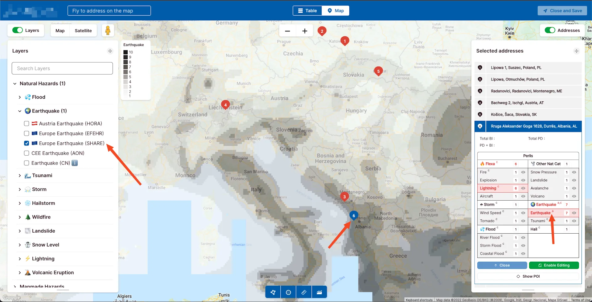
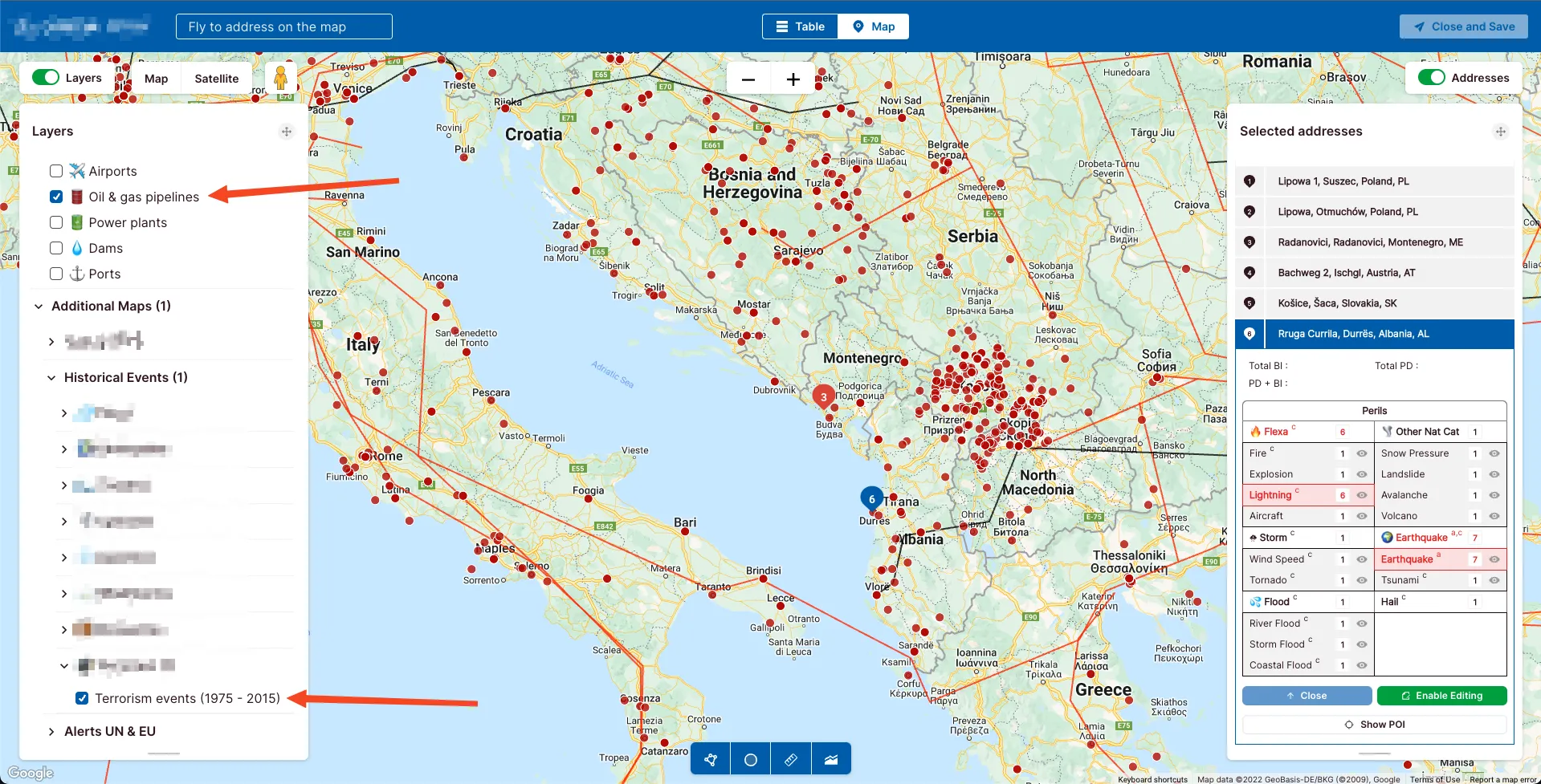
Recently, g-Xperts was selected to develop an advanced risk exposure solution for a leading European insurance company. The application, built with the CARTO cloud native platform, brings together more than 170 spatial datasets to predict risk and natural peril exposure for key commercial assets across Europe.
Scaling in line with increased usage and data complexity
The solution is used by more than 500 property risk engineers and underwriters, on a daily basis, to assess potential risks that manufacturing plants, warehouses, and retail outlets are exposed to due to natural phenomena such as floods, high winds, landslides, and storm surges. The solution visualizes data relating to these natural perils and shows the predicted risk levels on interactive map dashboards, helping underwriters better assess location threats and set the optimal policy premiums.
As the number of data inputs, usage, and complexity grew, current risk assessment tools became complex to manage. Regular updates to more than a hundred spatial datasets required manual intervention, and some of the more complex map visualizations suffered from performance lags.
To address these challenges, g-Xperts decided to fully redevelop the application using the CARTO platform, replacing the existing database architecture with Google BigQuery. This approach now gives g-Xperts much more flexibility when developing visualizations for new territories, and the underlying data warehouse guarantees performance levels, scaling in line with increased usage and data complexity.
By using the Analytics Toolbox for BigQuery, g-Xperts can unlock a suite of native analysis functions, such as methods for data transformations, enrichment, spatial indexing in Quadkey and H3, statistics, and clustering within their cloud data warehouse environment. The toolbox gives g-Xperts the functionalities required to tackle the most complex insurance use cases, and to access an analytics environment that will scale with the evolving demands coming from underwriting and risk engineering teams.
Pain-free cloud native development
Moving to data and analytics hosted in the cloud was pain-free, and g-Xperts were able to continue supporting their insurance customer with their spatial analytics with minimal downtime.
Selecting CARTO’s cloud-native Location Intelligence platform was, without doubt, the right choice for us. The enhanced analytical capabilities of CARTO have opened up our business to new possibilities for more advanced spatial use cases.Jozef Sorocin, Special Projects at g-Xperts GmbH
The CARTO support team played a pivotal role in the success of the migration to the cloud-native platform for g-Xperts. Their expertise and support at each step in the migration process helped g-Xperts to transition from a legacy version of the application to the new cloud-native platform with minimal impact on their customer.
We share the excitement for cloud native spatial analytics along with the G-Xperts team. The cross-functional teamwork and combined commitment from both CARTO and G-Xperts were the drivers for making this development a real success.Pablo Fernández, Director of Customer Success & Technical Support at CARTO
Since moving development to the cloud, g-Xperts can now work more efficiently and provide an unrivaled level of service to customers, while remaining at the forefront of the geo-applications industry. For more information on our collaboration with G-Xperts, download the complete case study here.


