Use cases
5 ways to transform spatial analysis for environmental resilience
Discover 5 ways to transform spatial analysis for environmental resilience using cloud-native GIS, automation, and real-time insights.
Mapping Segregation - MIT's Atlas of Inequality
Explore The Atlas of Inequality, a project revealing behavioral patterns and segregation impacts, led by MIT and Universidad Carlos III de Madrid.
Faster, Stronger Smart Cities with Location Intelligence
The proliferation of Location Intelligence solutions is a big part of Smart Cities growth. Cities uniquely benefit from a deeper understanding of 'where,' in areas from disaster relief and health services, to traffic optimization, and more.


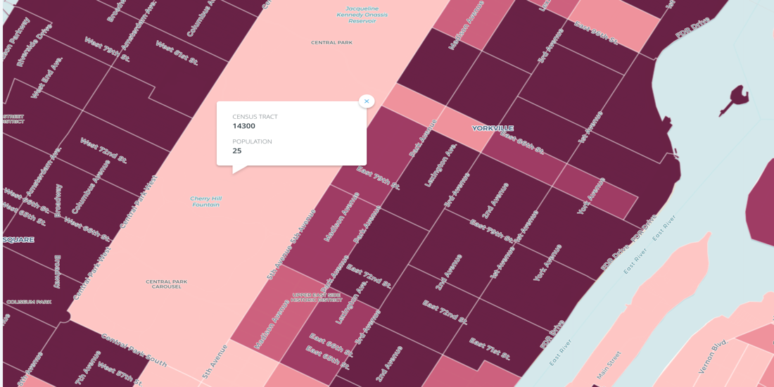
Census Oddities
Uncover Census Oddities: Learn tips to navigate unexpected quirks in U.S. Census data, from shifting boundaries to population gaps. Avoid pitfalls now.


A New Approach to Customer Segmentation Using Location Data
Discover effective customer segmentation strategies using location data. Learn how to target the right audience for sales & marketing success. Try for free.
Spreading Location Intelligence all around the world
Thanks to our Partners for a year of growth in location intelligence! Join our network, explore projects, and anticipate more in 2017. Happy Data Mapping!
Spotify gets into the Groove with Musical Cities
Take a look how Spotify leverages CARTO to create the Musical Cities map, revealing distinctive music preferences across 1,000 cities worldwide.
Hurricane Season 2016: Locating Resiliency in Sandy's Aftermath
CARTO aids NYC's Mayor's Office in tackling climate change, visualizing risks, and preventing disasters like Hurricane Sandy. Explore OneNYC's efforts.

Academy


What is Agentic GIS?
Discover Agentic GIS: AI-powered spatial analysis that automates workflows, amplifies GIS expertise, and delivers actionable geospatial insights.


Geospatial Sovereignty in the Age of AI: A Layered Approach
Geospatial sovereignty in the AI era: why open formats, flexible compute, and interoperable standards are key to resilient, independent digital infrastructure.
The Changing Role of the GIS Analyst
Discover how GIS Analysts are evolving from map makers to strategic AI-driven experts shaping enterprise decision-making with cloud-native tools.


.png)


