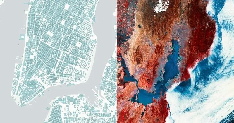
Raster data is represented as a grid of cells or pixels, with each cell containing a value or attribute. It has a grid-based structure and represents continuous values such as elevation, temperature, or satellite imagery.
Raster data has wide application in remote sensing, where it provides valuable information about land cover, vegetation health, and climate patterns. It is also used in elevation modeling to create Digital Elevation Models (DEMs) and analyze terrain characteristics for hydrology, slope analysis, and viewshed analysis. It is often used for visualization and photorealistic rendering of maps and scenes.
Common Raster File Types
Common file types for raster data include:
GeoTIFF: a popular raster file format with embedded georeferencing.
**JPEG, PNG & BMP: **ubiquitous image files which can be georeferenced with a World or TAB file. PNG supports lossless compression and transparency, making it particularly useful for spatial visualization.
ASCII: stores gridded data in ASCII text format. Each cell value is represented as a text string in a structured grid format, making it easy to read and manipulate.
You may also encounter: ERDAS, NetCDF, HDF, ENVI, xyz.