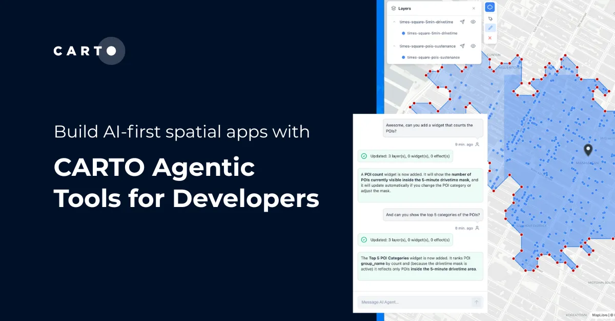
CARTO's new open-source Agentic Tools library gives any AI Agent full control over a map: layers, styling, analytics, and spatial filters, through standard tool calls.
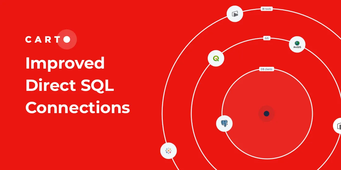
Our Direct SQL Connector now allows easy connection to apps such as Tableau & Power BI using native PostgreSQL connectors, & from SaaS solutions, such as Looker