


Environmental Management
Monitoring environmental shifts and predicting future changes through spatial data is crucial to minimize environmental degradation. Whether it is analyzing air pollution, disaster management, tracking the spread of forest fires, responding to oil spills or wastewater management - GIS solutions are a powerful way to find answers to protect our planet.

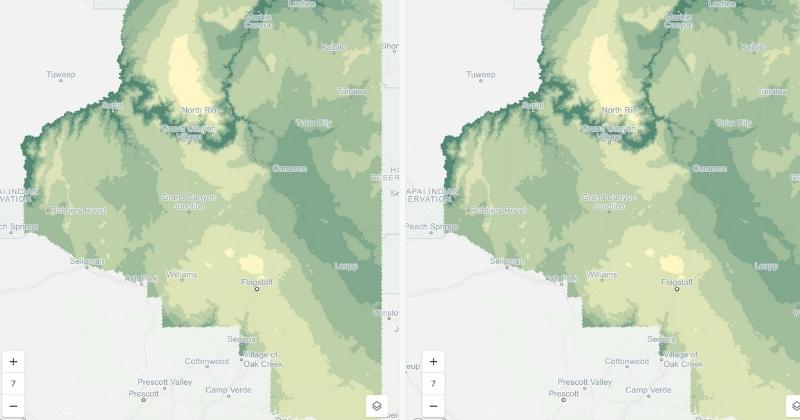
Biodiversity Monitoring
Predicting where new populations of endangered species with a limited known range may exist, and identifying hotspots with additional spatial context is fundamental to preserve our world’s biodiversity. Spatial Data Science platforms allow you to target surveys and monitoring schemes - allowing you to gather data on habitat distribution by location to measure the extent of change. CARTO’s platform makes this easier than existing GIS solutions on the market.

Marine Spatial Planning
Improving decision-making and delivering an ecosystem approach to how we manage our marine environment must be treated as a priority. Failing to use all available sources of spatial data and local knowledge on the marine environment is a risk for our planet - and geospatial web applications provide a unique opportunity to improve this information-sharing process around marine governance.
WHAT OUR CUSTOMER SAY.

“CARTO makes map making easy. I can quickly pull the data in, get it on a map, do some light SQL and then share. Collaboration is easy and within a couple of hours we can have a really great visual product to share with decision-makers.”
Jason McVay
,
Data Scientist, Indigo Ag

"CARTO’s cloud-native approach and the ability to use H3 at scale was a big game changer for us. We can now compute data in real time without the need for heavy coding. Working with the CARTO platform has been extremely impactful as we can now easily visualize & analyse massive amounts of satellite data."
Basile Goussard
,
Co-Founder at NetCarbon

With operations spanning such a large geographical area, CARTO’s ability to handle big data is absolutely crucial for Sistema.bio.
Maxence Affre
,
Technical Director at Sistema.bio


TALK TO US
Request a Demo
Schedule a 20 minute meeting with our experts to understand how you can use spatial analysis in your organization.