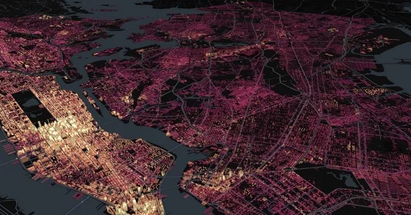
R is a powerful programming language specifically designed for statistical computing and data analysis. R offers a rich ecosystem of spatially-focused packages like sf, sp, and raster. Its benefits include advanced spatial modeling capabilities, integration with statistical methods and easy access to geospatial data sources. However, outside academia and research, R remains less widely-used than Python in the geospatial industry (source: The State of Spatial Data Science, 2023). R is most useful for data scientists, data analysts, data visualization experts.
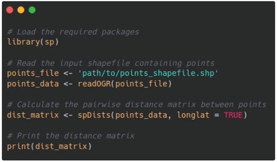
Using R to create a distance matrix between all points.
How to Spot
R code blocks often begin with library() or require() to import required packages. You may also commonly see <- used, where other languages like Python typically use “=”. Finally, R commonly utilizes data frames as a primary data structure; look for code that involves operations on data frames, such as filter(), mutate(), and **summarize() **from the dplyr package.