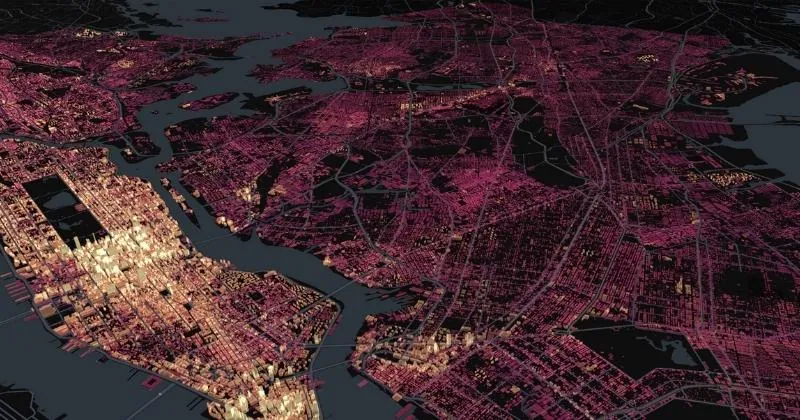
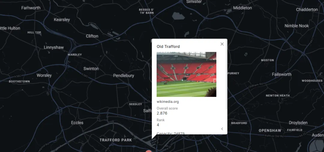
HTML is used for creating the structure and content of web pages. While HTML itself is not specifically designed for geospatial applications, it plays a crucial role in being used to embed interactive maps, geospatial visualizations, and geospatial data in web applications. You may also come across HTML in geospatial software, being frequently used as a means of creating custom pop-ups. Learn more about how to do this in the documentation.
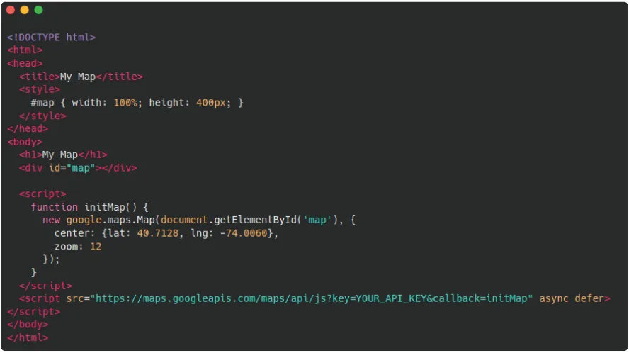
Embedding a map in a web page with HTML.HTML is typically used in conjunction with CSS, the latter of which defines the presentation and styling of the HTML “building blocks.” It is useful for web or geospatial developers and data visualization experts.
How to Spot
HTML is characterized by its use of tags enclosed in angle brackets: < >. These tags define the structure and elements of a web page, such as headings (,
), paragraphs (), lists (,
), and links ().