CARTO names Bufete de Soluciones Integrales (BSI) its exclusive distributor in Mexico, bringing Agentic GIS and Location Intelligence to organizations.
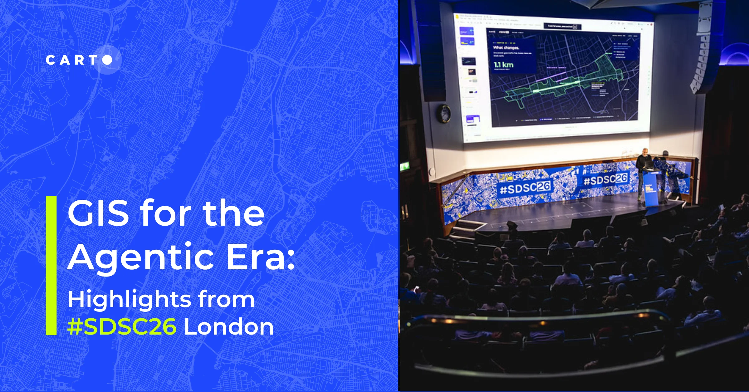
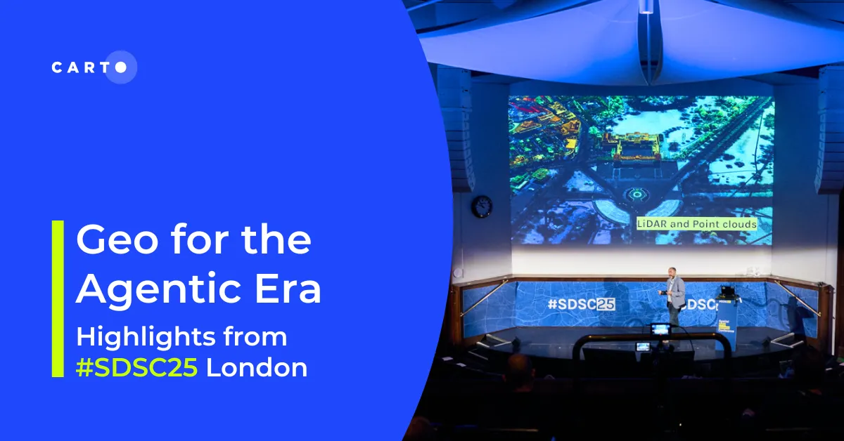
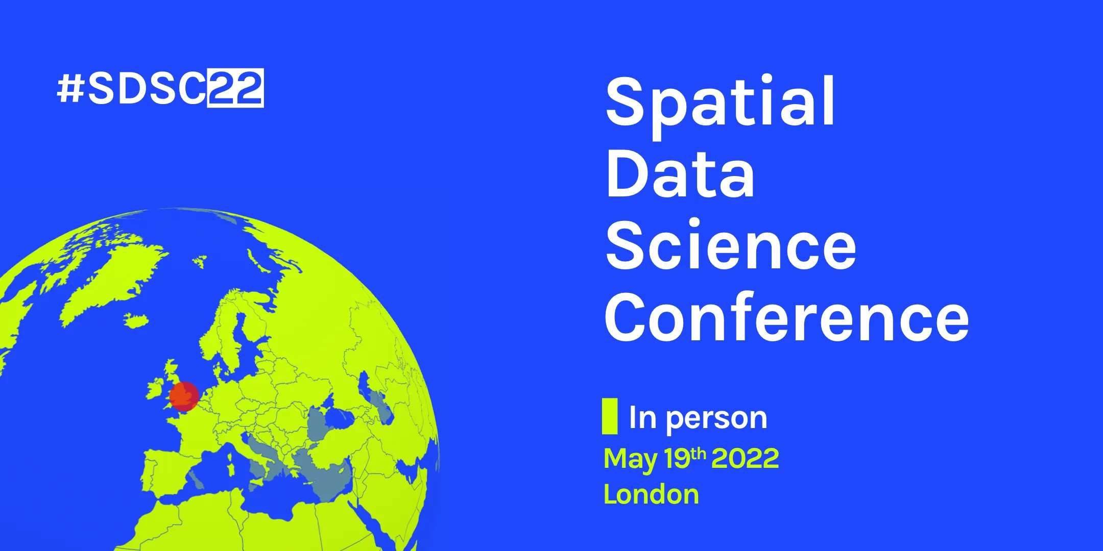
Over 400 spatial data professionals gathered at SDSC26 London to explore the future of GIS, from agentic workflows and open infrastructure to environmental risk and urban intelligence.
A practical guide to building internal buy-in for geospatial, with tips on making the case to non-technical colleagues and leaders, speaking the right language.
Unlock secure, AI-powered geospatial analysis in your AWS environment. Learn how CARTO's Agentic GIS and Amazon Bedrock integration makes spatial insights accessible to everyone.
Unlock AI-driven spatial analysis. CARTO's Agentic GIS now integrates with Google AI Studio & Gemini Enterprise Agent Platform (formerly Vertex AI) to run secure geospatial workflows on BigQuery.
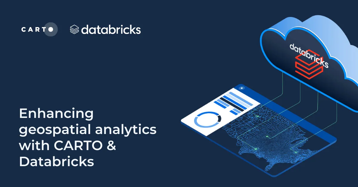
Unlock powerful geospatial analytics in Databricks. CARTO's native integration leverages Spatial SQL and Mosaic AI for high-performance, AI-driven insights.
Discover what’s new in CARTO Q4 2025, including Agentic GIS, AI-powered spatial analysis, MCP tools, analytics on embeddings, and enterprise governance updates.
Discover key geospatial insights from Google Cloud Next 2025 - AI, low-code tools, Earth Engine, and more innovations shaping the future of location tech.
Chad Jennings is joining CARTO's Advisory Board. He has been instrumental in shaping the geospatial analytics landscape at companies like Google Cloud & Almanac.
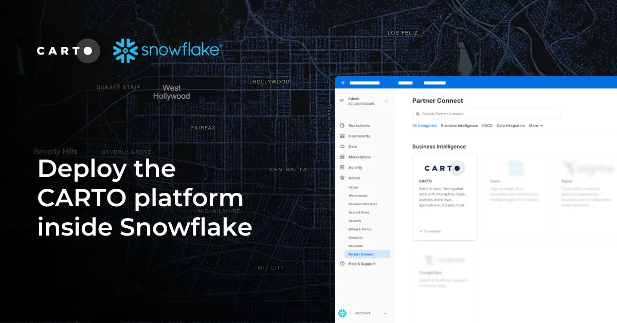
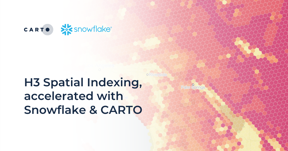
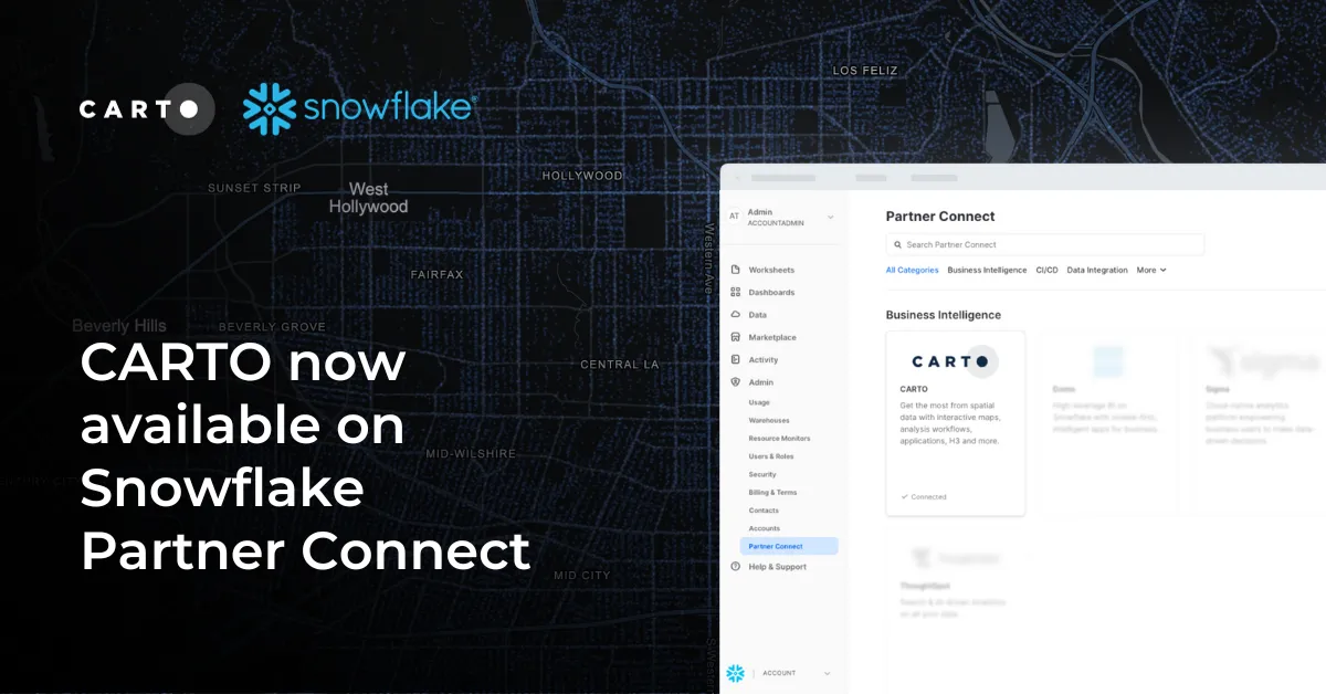
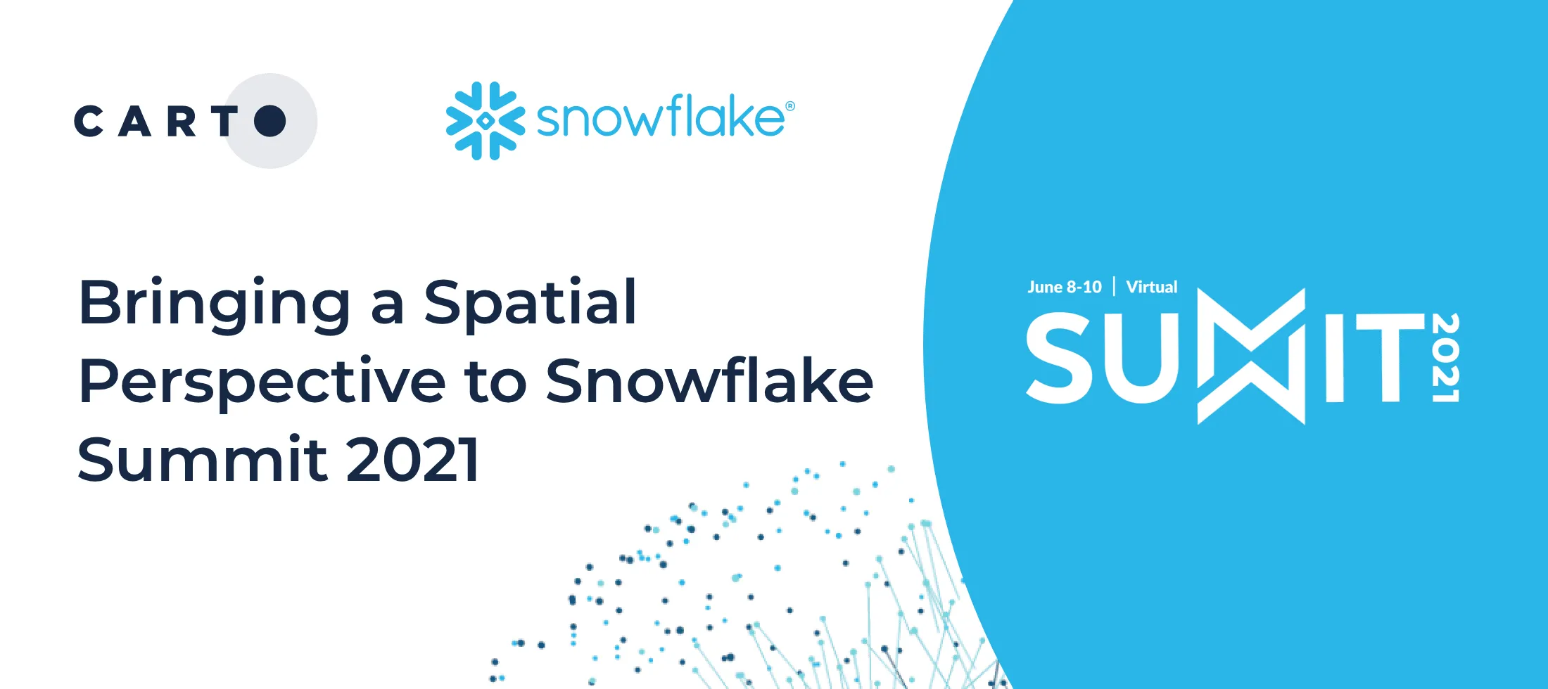
Discover the power of spatial analytics with CARTO inside Snowflake! Deploy seamlessly via Snowflake Marketplace for enhanced performance, security, and scalability.
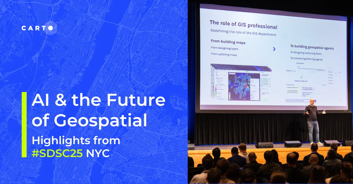
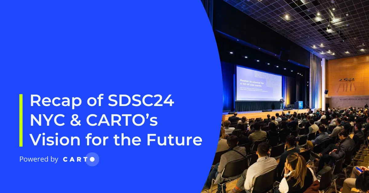
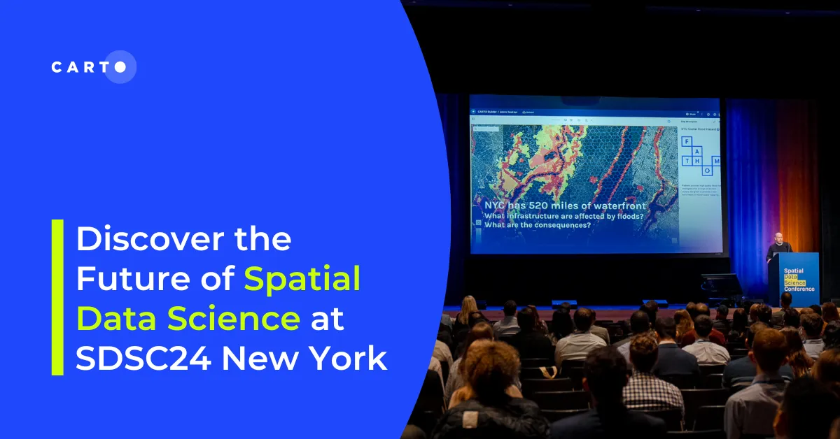
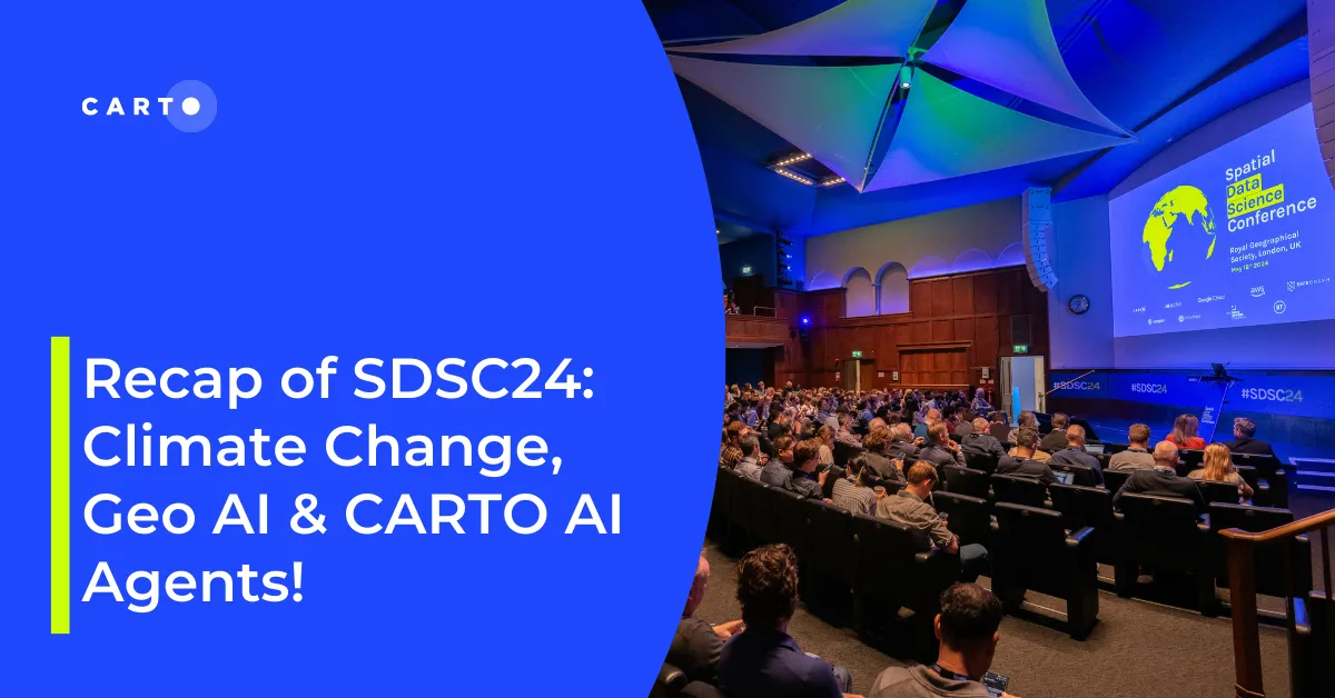
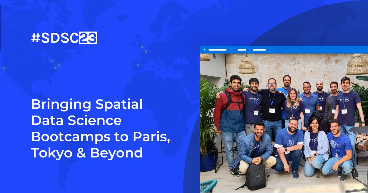
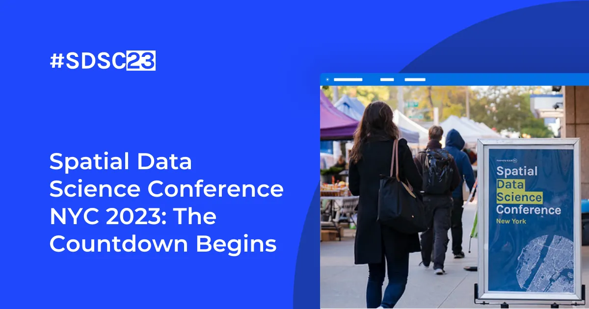
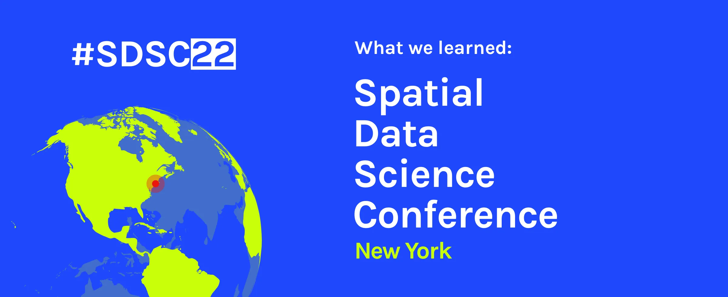
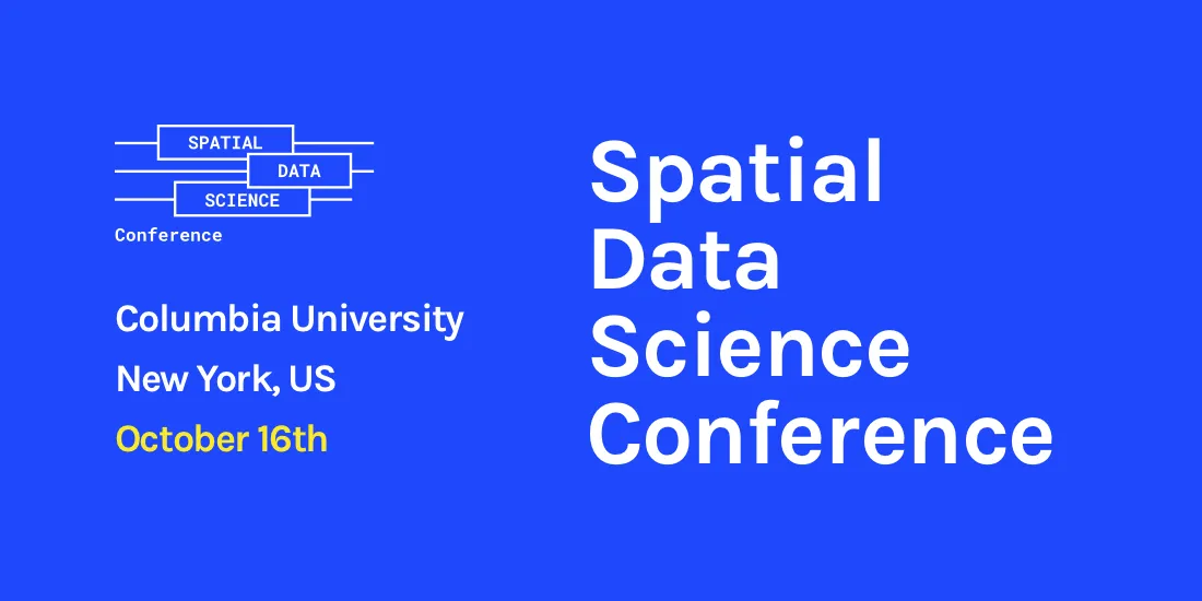
Latest innovations in geospatial analytics from CARTO, industry insights, and AI-driven spatial tools showcased at the Spatial Data Science Conference in NYC.
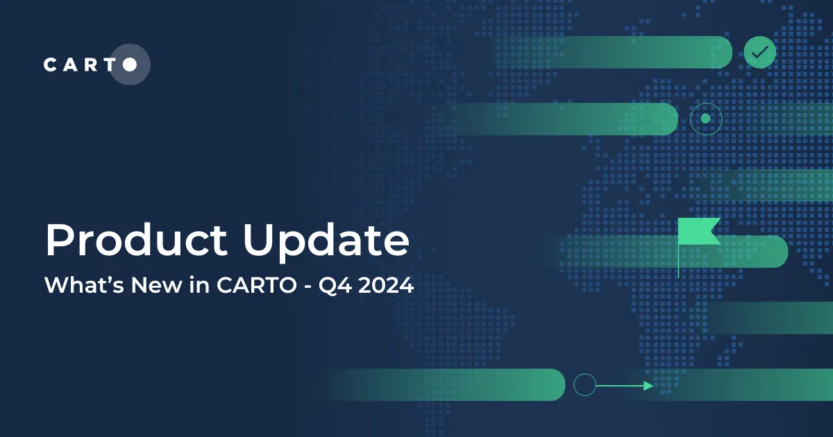
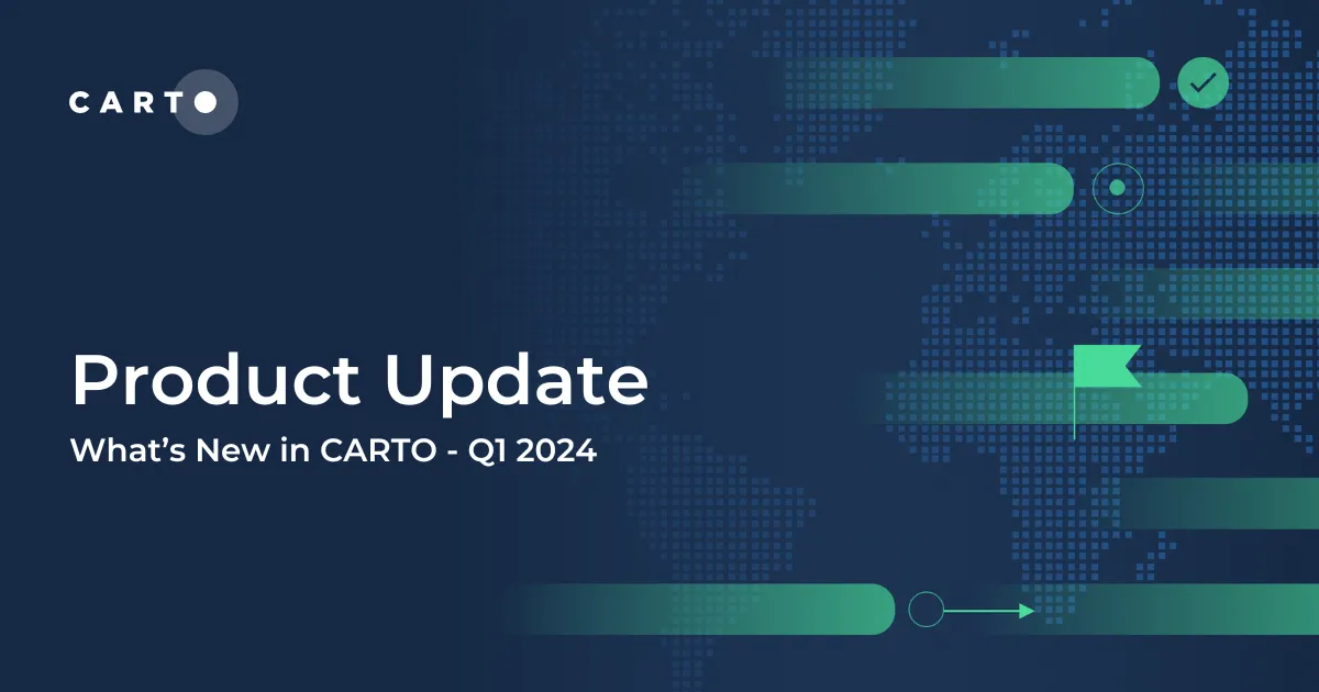
Explore the latest CARTO platform features unveiled in Q1 2024! Trigger workflows via API, control your maps via URL, the all-new CARTO Academy - and more!
Explore CARTO's cloud-native spatial analytics at Google Next '23 in San Francisco. Join us from Aug 29-31 to witness the power of Location Intelligence!
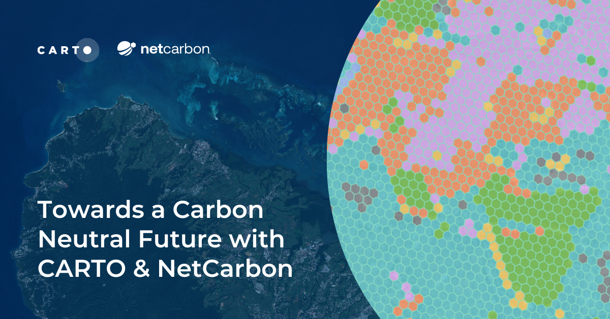
Discover how NetCarbon, winners of Planet’s Copernicus Masters competition, leverages CARTO to tackle climate change with scalable satellite data solutions.
“We’re excited to be sponsoring, attending & presenting at the 2022 Data+AI Summit hosted by Databricks in SF! Learn about the conference at our sessions here.
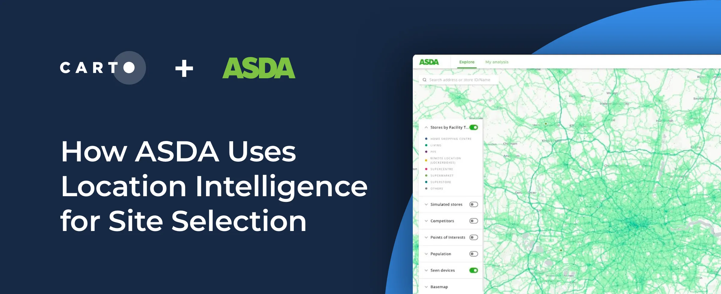
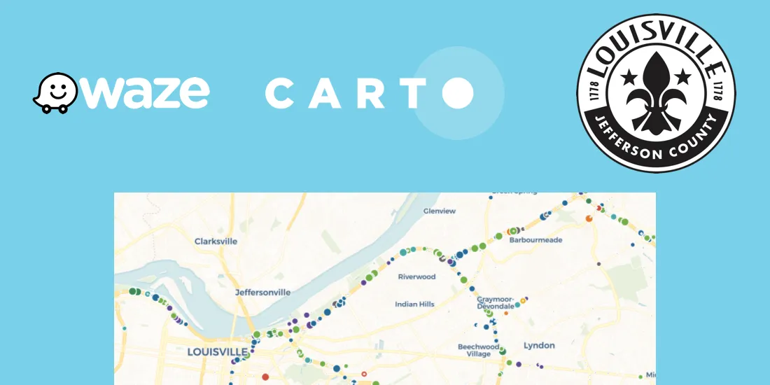
Interested in learning how using Location Intelligence can boost your site selection strategy as a retailer? See how ASDA uses this data to make informed expansion decisions.
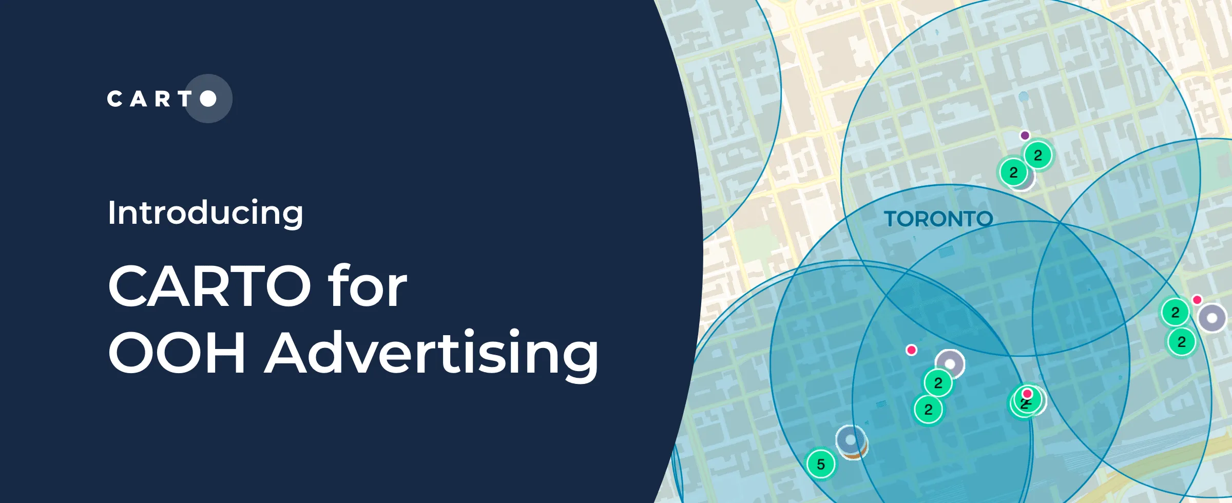
Today we announce the availability of CARTO for OOH Advertising, an exciting new solution for outdoor media owners, planners, & advertising agencies–learn more
Join our team at upcoming events across the globe, including Big Data & AI World, Shoptalk, GEO Business, Home Delivery World, & Geospatial World Forum
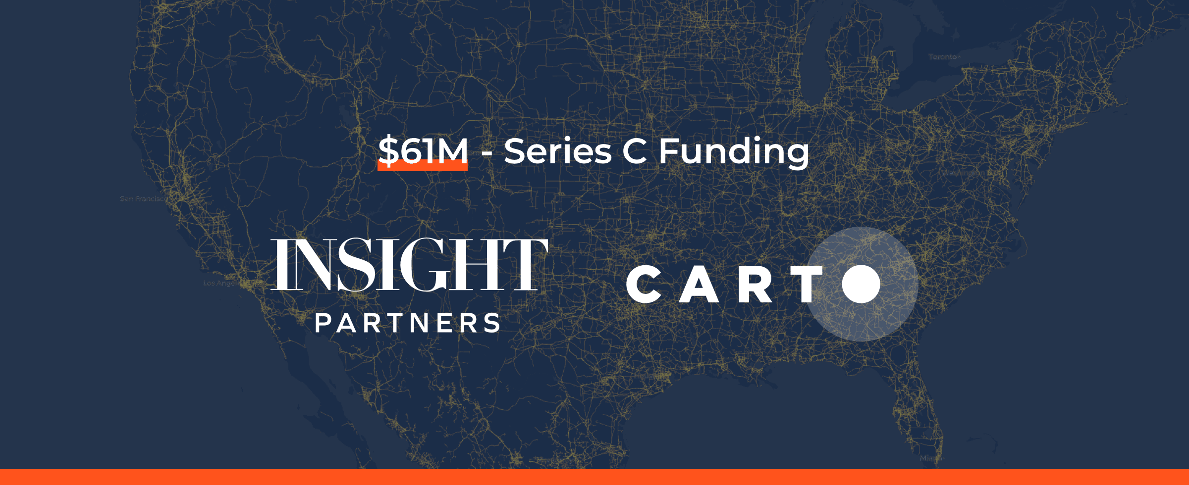
Including the launch of a new cloud native version of our leading Location Intelligence platform & closure of a $61 million Series C round check out our recap of 2021!
We are delighted to announce the closure of a $61 million Series C round led by New York-based global venture capital & private equity firm Insight Partners
We’re excited to announce that we’ll be attending & presenting at GEO Business 2021, the UK’s largest geospatial event, taking place on November 24 - 25 at ExCeL London.
#SDSC21 Online starts today! Join thousands of spatial leaders from around the world over 4 days to discuss & learn about the future of Spatial Data Science.
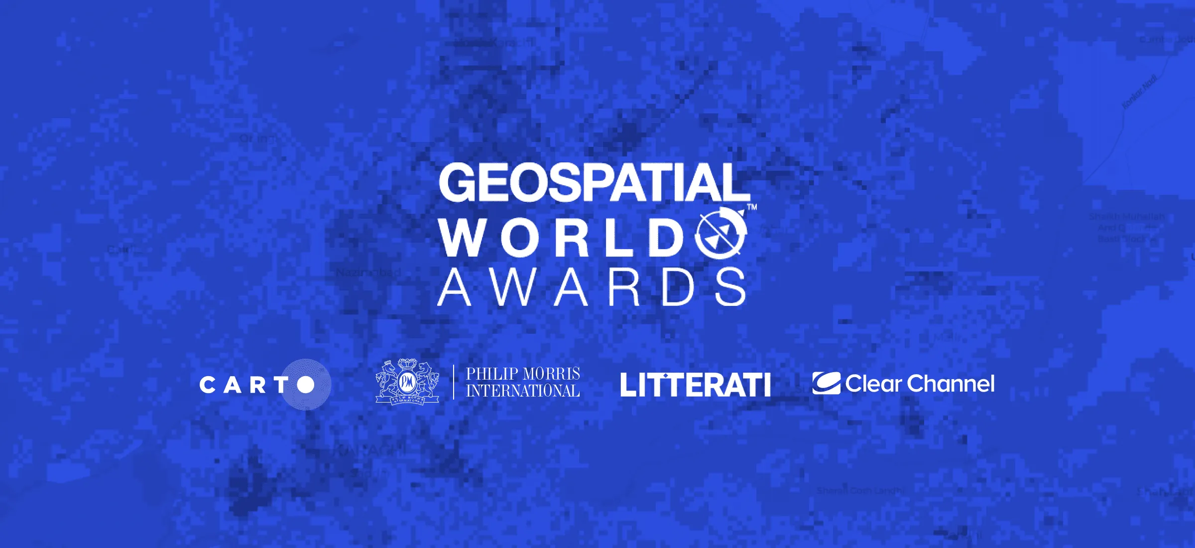
We’re very pleased to announce that at this year’s Geospatial World Forum, CARTO clients Philip Morris International, Litterati & Clear Channel have all won awards.
The Spatial Data Science Conference 2021 brings together leaders from industry, government, & academia for four days of talks on the latest technologies & techniques.
With the 5th annual Spatial Data Science Conference just over a month away we’re very excited to announce the first lineup of speakers. Register for free today!
We are pleased to announce our return to in-person events! Discover the events we will be attending this year including Big Data LDN, Groceryshop, & ODSC West.
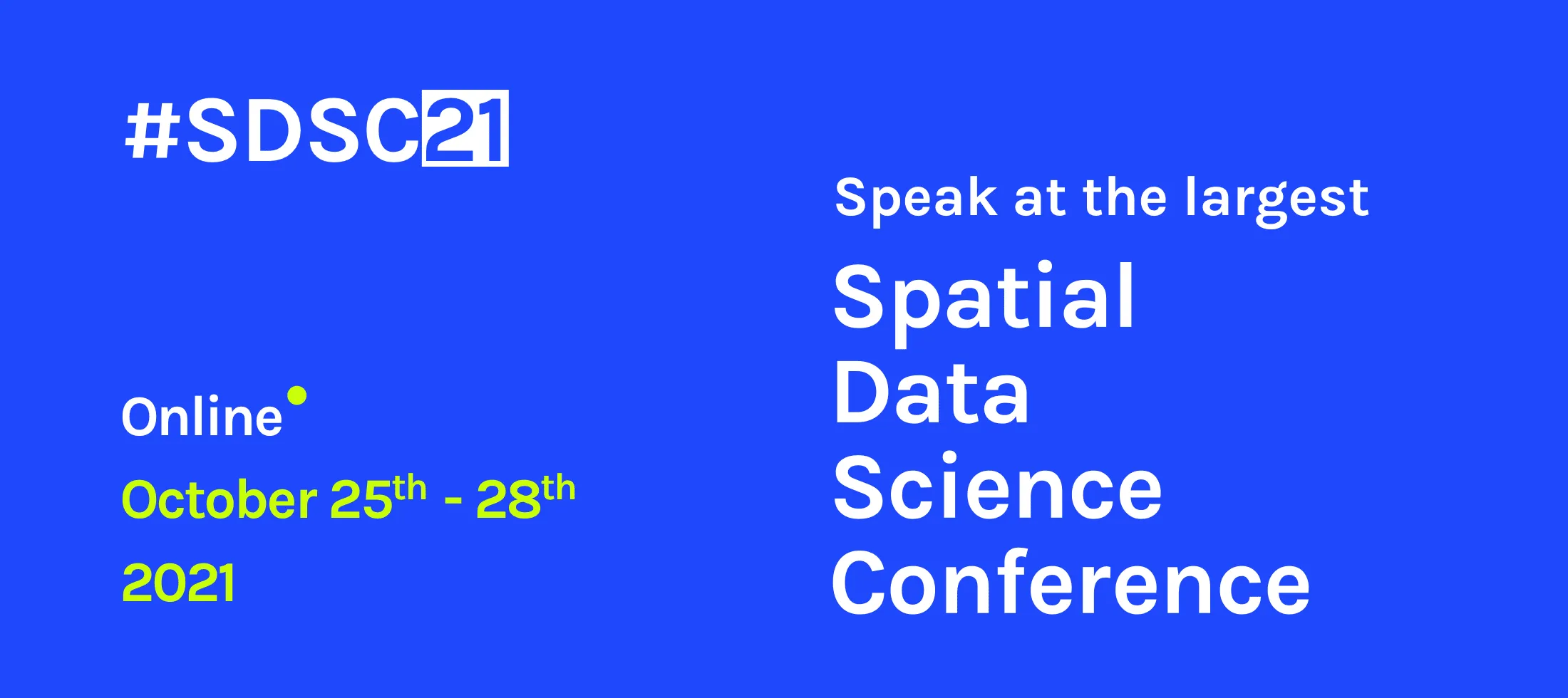
Want to connect with thousands of Spatial Data Science experts? Speak at #SDSC21 & be part of the biggest & most global community of Data Scientists with spatial expertise
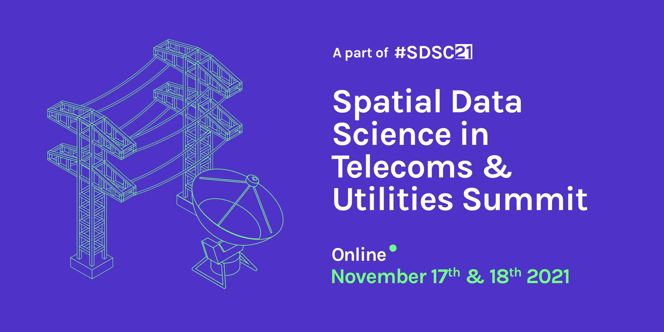
Following the successful industry-specific #SDSC21 events earlier this year we are pleased to announce the Spatial Data Science in Telecoms & Utilities Summit
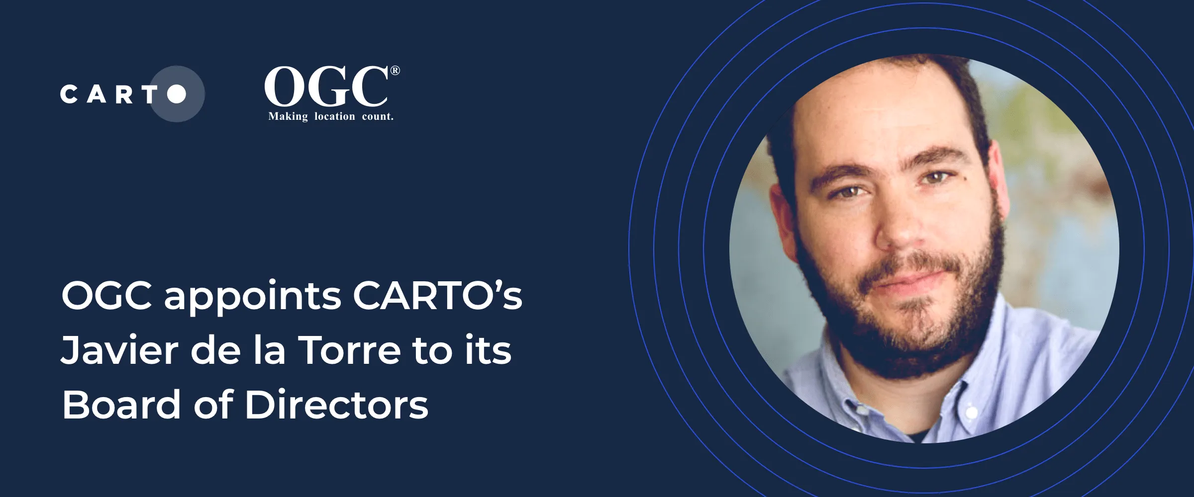
We are very pleased to announce the appointment of Javier de la Torre, Founder & CPO of CARTO, to The Open Geospatial Consortium's (OGC) Board of Directors
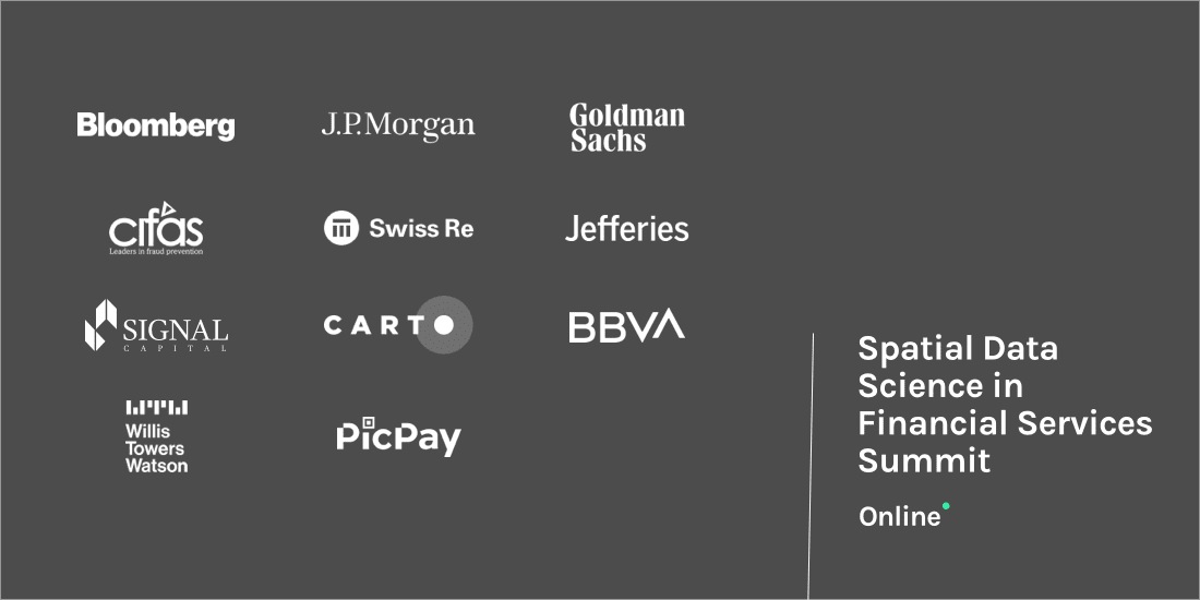
Sign up for talks from JPMorgan, Goldman Sachs, Bloomberg, Swiss Re, Signal Capital, Willis Towers Watson, Jefferies, PicPay, Cifas, BBVA, Google, & Safegraph
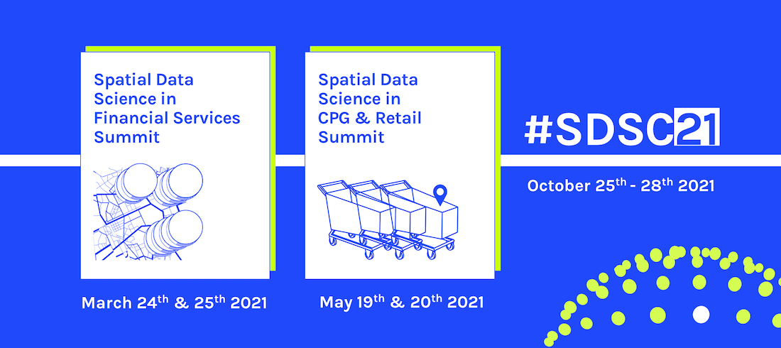
Following the success of #SDSC20 we're excited to announce 2021's online edition of the Spatial Data Science Conference plus 2 more industry specific events
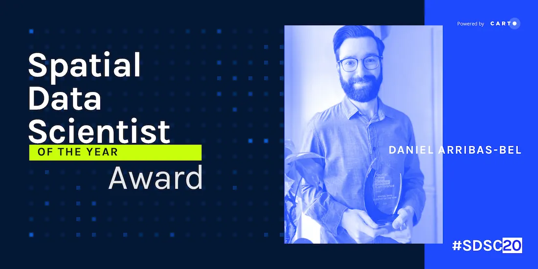
We are very pleased to announce the formation of the CARTO Scientific Committee, and its inaugural members, to further advance the field of Spatial Data Science
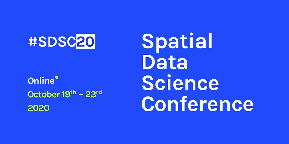
#SDSC20 Online starts today! Join thousands of spatial leaders from around the world over 5 days to discuss & learn about the future of Spatial Data Science.
The Spatial Data Science Conference 2020 brings together leaders from industry, government, & academia for five days of talks on the latest technologies & techniques.
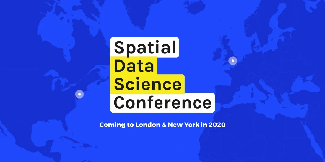
Join us this October for #SDSC20, a free virtual conference featuring expert speakers & panelists sharing details of their work in Spatial Data Science.
Through dozens of sessions exploring the impacts of powerful analysis, SDSC exemplified why Spatial is so important - but also made clear that Spatial is just getting started
Today we are very excited to announce that CARTO's Javier de la Torre, our Founder and Chief Strategy Officer, is joining the Urban Computing Foundation (UCF) Technical Advisory Committee
The Spatial Data Science Conference 2019 brings together leaders from industry, government, and academia for a day of panels and discussions on the latest technologies and techniques.
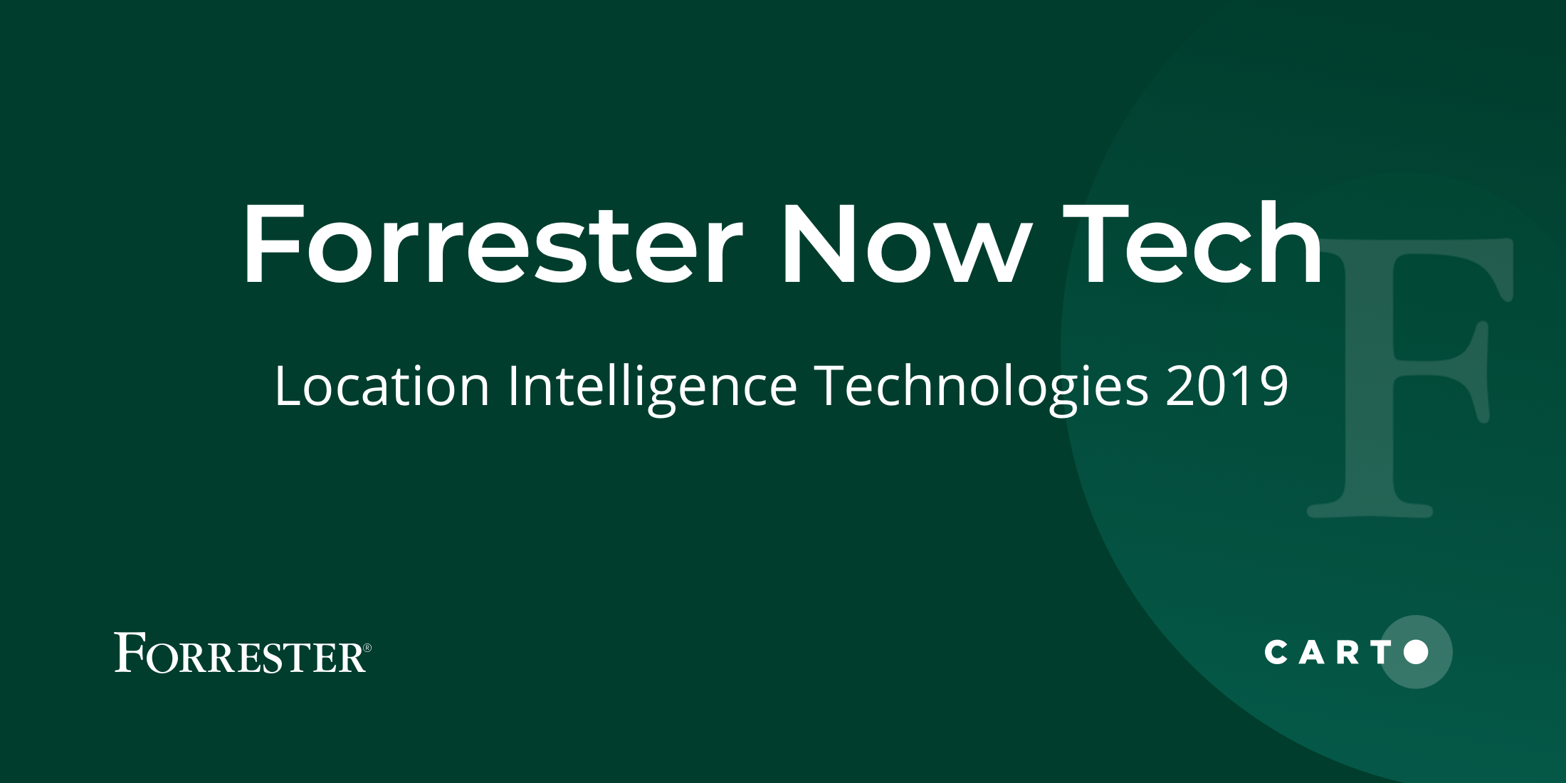
CARTO recognized as a leader in Forrester’s Location Intelligence report, highlighting its platform’s advanced spatial capabilities and data-driven decision support.
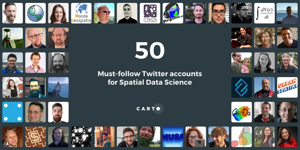
This year's CARTO twitter guide features 50 twitter accounts to follow for those looking to dive specifically into Twitter's Spatial Data Science community
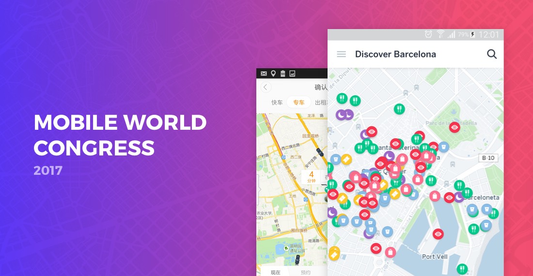
we're getting very excited to attend this year's edition of the GSMA's flagship conference, Mobile World Congress - the world's largest exhibition for the mobile and telecommunications industry.
CARTO welcomes new CEO Luis Sanz to lead its growth in Location Intelligence, with co-founder Javier de la Torre now focused on strategy and development.
Discover must-see events at MWC 2017, from new tech showcases to expert-led sessions. Explore how mobile and location intelligence are shaping the future.
Smart cities thrive through collaboration. Discover how municipal governments, citizens, universities, and businesses drive sustainability in Latin America.
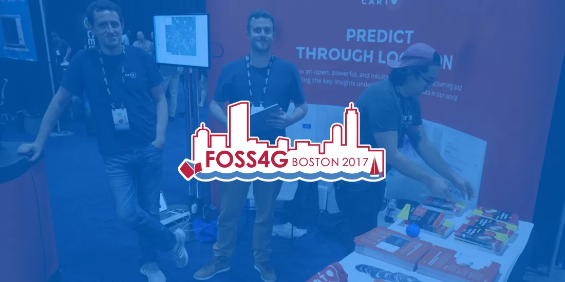
CARTO showcased innovations in open-source geospatial tech at FOSS4G 2016, including workshops and demos on dynamic maps and mobile GIS app development.
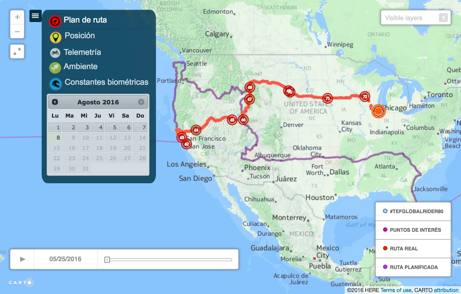
On May 27 2016 Telefónica and Yamaha kicked off Globalrider the world’s first ride-around-the-world fundraiser on a motorcycle where both the rider and.
The power of Big Data with CartoDB! Join us for a week of insights, webinars, and events. Discover how location intelligence can transform business decisions.
Vote for CartoDB's sessions at FOSS4G-NA 2016! Explore Python, Urban Scratchoff, Big Metadata, Information Commons, Decision Making Data, and Dynamic Maps.
Discover your NYC representatives easily with "Who Represents Me: NYC." Use the site to find contact info and district maps for all levels of government.
Discover CartoDB's power with PostgreSQL, the advanced open-source database. Explore geospatial support through PostGIS for unparalleled functionalities.
Explore CartoDB's success at O'Reilly's Tools of Change for Publishing conference! Dive into the world of maps and visualizations for publishing and journalism.
Yesterday O'Reilly Media announced the finalists for its Publishing Startup Showcase and we're very excited to say that we've been selected as one of ten.
Discover projects from the US Dept. of Energy's Alternative Fueling Station Locator to Baltimore's Vacant Buildings map and Moscow's DIY traffic counter.
Putting data to work. That's the next step of the open data movement and the theme of the second International Open Government Data Conference (IOGDC).
Discover how Vizzuality is leveraging CartoDB for impactful open government projects, presenting insights and innovations at the OGP conference in Brasilia, Brazil.
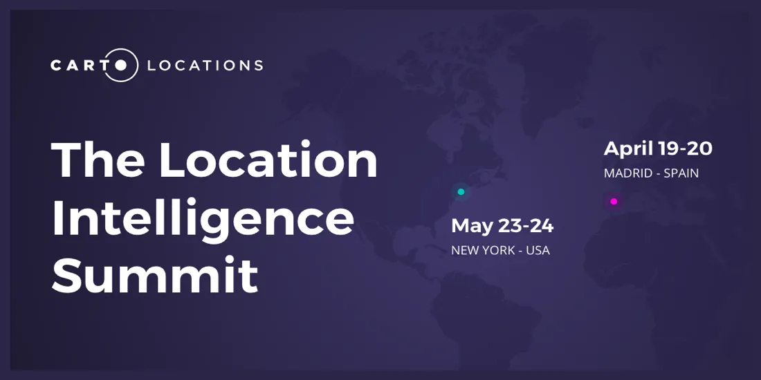
Find out what our speakers for CARTO Locations think about industry trends, technological innovations, and exciting use cases in the field of Location Intelligence
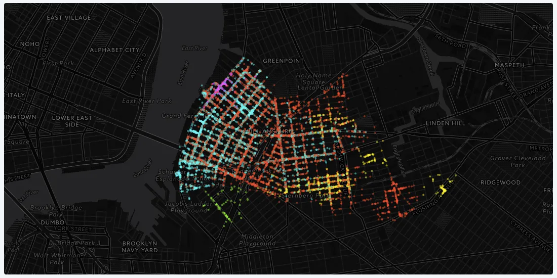
Data Through Design features works from developers, designers, and data professionals within the greater civic tech community that uses open data to better understand living in New York City.
Last week, over 200 geospatial experts convened at the United Nations to discuss how big data can help the organization achieve its 17 Sustainability Development Goals (SDGs).
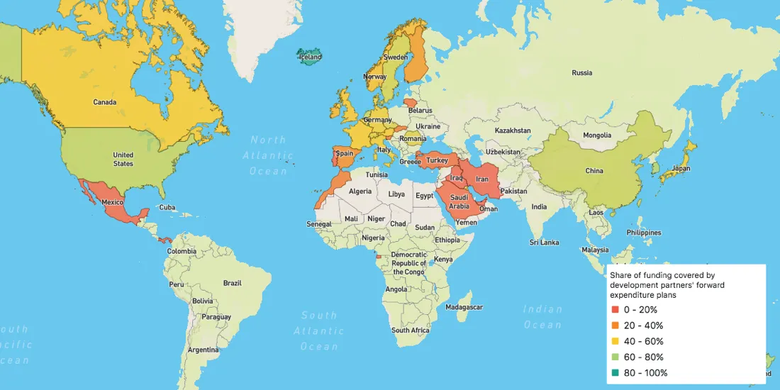
Officially launched in March 2018, the Global Partnership's Dashboard is specifically designed to be the monitoring tool that Partner Countries need to measure their progress
Read our interview commemorating the sixth anniversary of Geoawesomeness and learn how the emergence of Location Intelligence has changed the geospatial field.
CARTO was born as a Design-driven organization and I can proudly say that during these years of crazy growth we’ve kept that part of our DNA almost intact.