.png)


Live maps with automated Workflows integrations are here
Create live, always-updated maps with CARTO by integrating Workflows and Builder. Automate geospatial analysis to visualization in one step.
.jpg)


Site Selection for Retailers Using Commercial Hotspot Analysis
Explore an alternative analytical approach to tackle site selection decision-making based on advanced statistical techniques for retailers.


Working Toward a Sustainable Future with CARTO & Google Cloud
“We’re happy to announce our partnership with Google Cloud to expand our solutions to help tackle climate and environmental issues.”


What's New in CARTO - Q1 2022
We’ve been busy at CARTO in Q1! Learn about the CARTO platform and product updates we made throughout Q1.


CARTO Self Hosted on Kubernetes in Partnership with VMware
Data Governance is becoming a priority for many enterprise organizations. See how CARTO Self Hosted on Kubernetes works with VMware.


What You Should Know About Spatial SQL
“Spatial SQL is a rising star in spatial analysis, and for good reason. Learn about the advantages of learning and using Spatial SQL here.”

Introducing GeoParquet: Towards geospatial compatibility between Data Clouds
At CARTO, we're proud to release the first community proposal to standardize the storage of geospatial vector data in GeoParquet! Learn about our full goal.
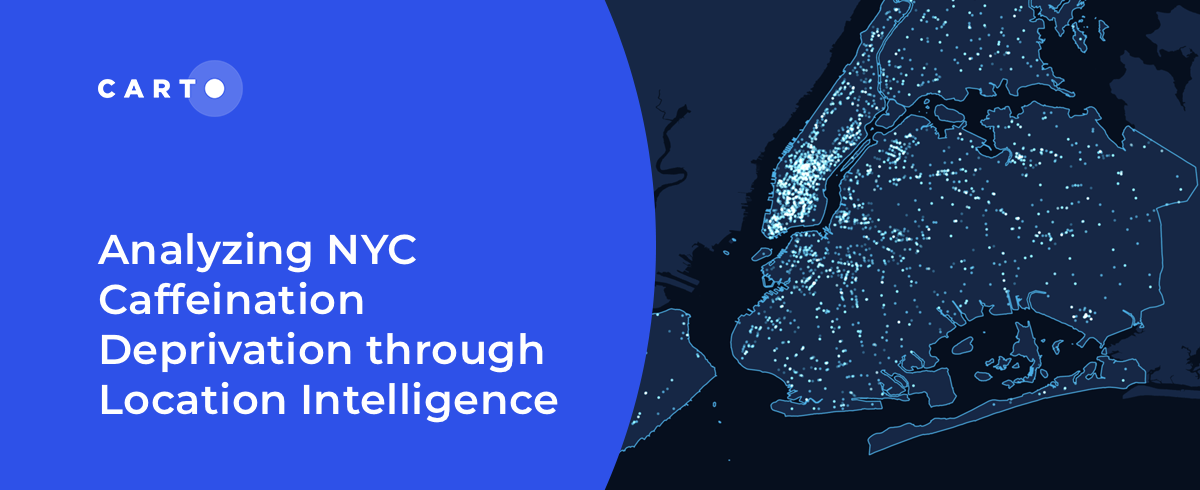
Analyzing NYC Caffeine Deprivation through Location Intelligence
“Curious about the number of coffee shops in NYC? Join us as we investigate the spatial patterns of coffee shops across the city."

International Women’s Day: Mapping Financial Inequality by Gender
“For International Women’s Day 2022, CARTO uses location intelligence to analyze financial inequality between gender in different countries. "

Determine Optimal Store Locations using White Space Analysis
How do you determine where to open a new retail location? Discover how to use White Space Analysis & Spatial Data to make more informed decisions.

How T-Mobile Uses Spatial Data to Improve Network Planning
“How can spatial data solve challenges for Telecom? Discover how CARTO has helped T-Mobile improve network planning & internal operations. "

Geospatial Analytics & AWS: CARTO's Spatial Analytics in Redshift
We are excited to announce CARTO's Spatial Analytics in Redshift. Discover how to leverage the geospatial capabilities of Redshift & sign up for a free trial today!


Can Kanye West Save Gap? What Maps & Location Data Reveals
Kanye West's partnership with Gap generated a lot of buzz but how has it affected in store sales & visitation? Find out using maps & behavioral spatial data.

Academy
Live maps with automated Workflows integrations are here
Create live, always-updated maps with CARTO by integrating Workflows and Builder. Automate geospatial analysis to visualization in one step.

Introducing User Comments: boost collaboration in your maps
Boost team collaboration with User Comments in CARTO Builder—add, track, and resolve feedback directly on your enterprise maps.

Navigate global risk with MBI CONIAS Political Risk data
Monitor and forecast global political risks with MBI CONIAS data - spatial, predictive, and ready to support smarter decisions in volatile regions.
.png)
