Working Toward a Sustainable Future with CARTO & Google Cloud


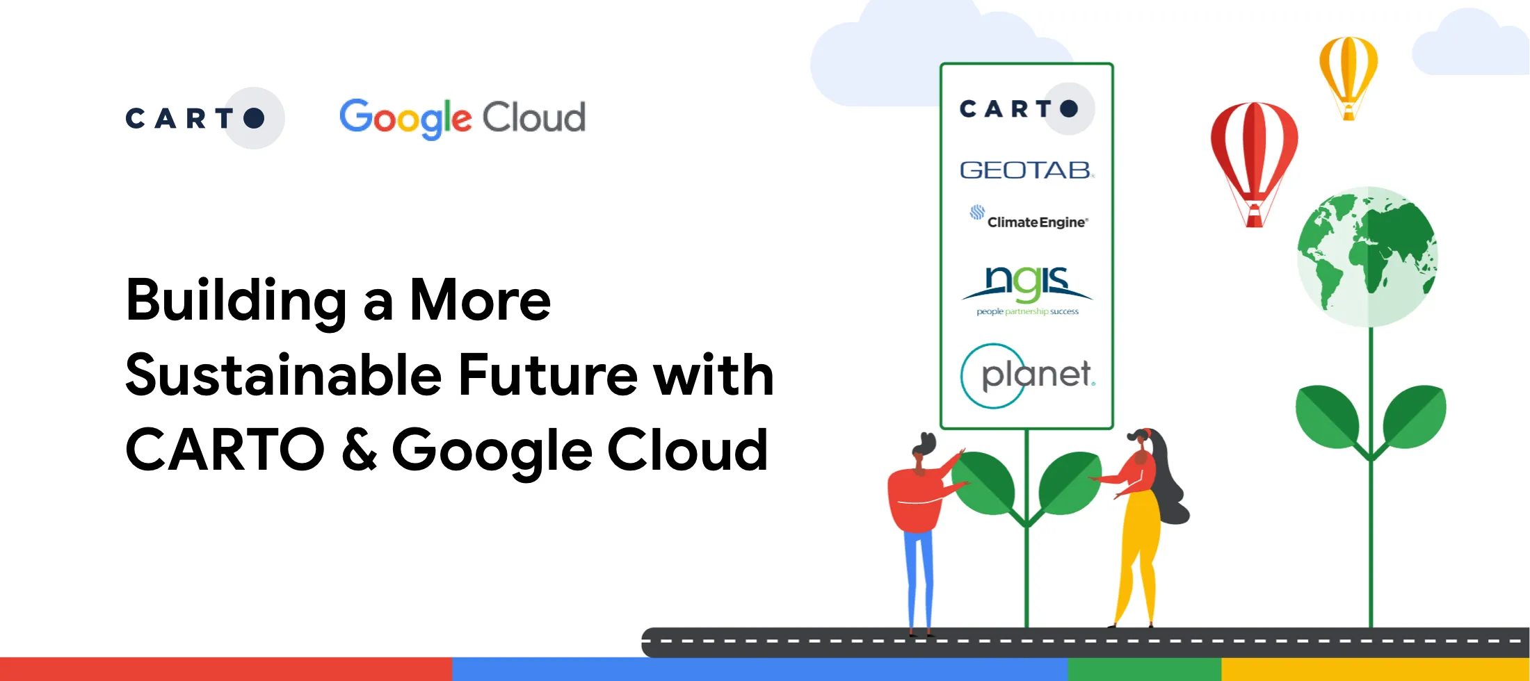
After announcing our Sustainability Partnership with Google Cloud last October we’re excited to further expand on the work and real-world solutions we’ve been developing to tackle some of the world's most challenging climate and environmental issues. The partnership which also includes other leading sustainability focused companies such as Climate Engine Geotab NGIS and Planet focuses on delivering the technology data and scalability to help global businesses and communities make strategic and effective decisions surrounding their sustainability programs.
To build upon the work we've been doing Google Cloud has released a new whitepaper which highlights how their partner ecosystem can help businesses accelerate their sustainability efforts to better achieve their goals.
What Will You Learn?
Spatial Analysis in the Cloud for Sustainability
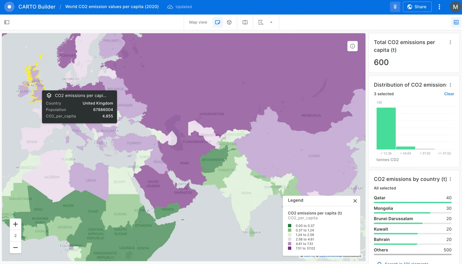
You’ll learn how CARTO’s Spatial Extension for BigQuery enhances BigQuery with spatial data analysis and visualization exploring how customers can leverage data from Google Earth Engine perform machine learning with Vertex AI and overlay all of that in rich 2D or 3D map formats. We’ll see how users can analyze air pollution trouble spots perform weather risk analysis and optimization track the spread of forest fires or respond to oil spills.
Google Sustainability Best Practices
You’ll also discover how organizations can leverage the entire Google Cloud Sustainability partnership ecosystem to work towards a climate resilient future. Google outlines how to leverage the power of Google Cloud & BigQuery in collaboration with CARTO Climate Engine Geotab NGIS and Planet to reveal actionable insights to lower carbon footprints inform decisions on resilience planning and better understand the science of climate change.
Why CARTO & Google Cloud?
CARTO brings advanced spatial analytics to Google Cloud. Our solutions extend the geospatial capabilities available in BigQuery while leveraging the near limitless scalability that Google Cloud provides; and when it comes to sustainability our platform is trusted by a wide range of organizations including Greenpeace Vizzuality Litterati Indigo WWF the Marine Conservation Institute The World Bank and the Institute for Sustainable Cities.
Want to learn more? Download the white paper or read about the announcement here.