

Live maps with automated Workflows integrations are here
Create live, always-updated maps with CARTO by integrating Workflows and Builder. Automate geospatial analysis to visualization in one step.


How to Create React Apps with Maps & Location Data
Build spatial apps with CARTO for React 1.1, now supporting all the cloud native functionality offered by the latest version of our Location Intelligence platform.


Understanding the Impact of Tree Equity in Chicago
Learn how the University of Chicago built a tree equity solution to understand the impact that tree canopy cover has on social & health outcomes in the city of Chicago.


Announcing CARTO's Spatial Analytics in Snowflake
We are excited to announce CARTO's Spatial Analytics in Snowflake. Discover how to extend the geospatial capabilities of Snowflake & sign up for a free trial today!


Fuel Shortage UK Maps & What Location Data Can Tell Us
Earlier this year many petrol stations in some parts of the UK ran out of fuel. Discover what location data can tell us about the real story behind the long queues.


CARTO presenting at GEO Business 2021, UK’s largest geospatial event
We’re excited to announce that we’ll be attending & presenting at GEO Business 2021, the UK’s largest geospatial event, taking place on November 24 - 25 at ExCeL London.


Announcing the Spatial Data Scientist of the Year 2021
As #SDSC21 draws to a close today, we reflect on the conference & announce the winner of the Spatial Data Scientist of the Year Award!


Today Thousands of Spatial Leaders Gather for #SDSC21
#SDSC21 Online starts today! Join thousands of spatial leaders from around the world over 4 days to discuss & learn about the future of Spatial Data Science.


PMI, Litterati, & Clear Channel Win Geospatial Excellence Awards
We’re very pleased to announce that at this year’s Geospatial World Forum, CARTO clients Philip Morris International, Litterati & Clear Channel have all won awards.


CARTO Spatial Features, now with global urbanity, climatology, & elevation data
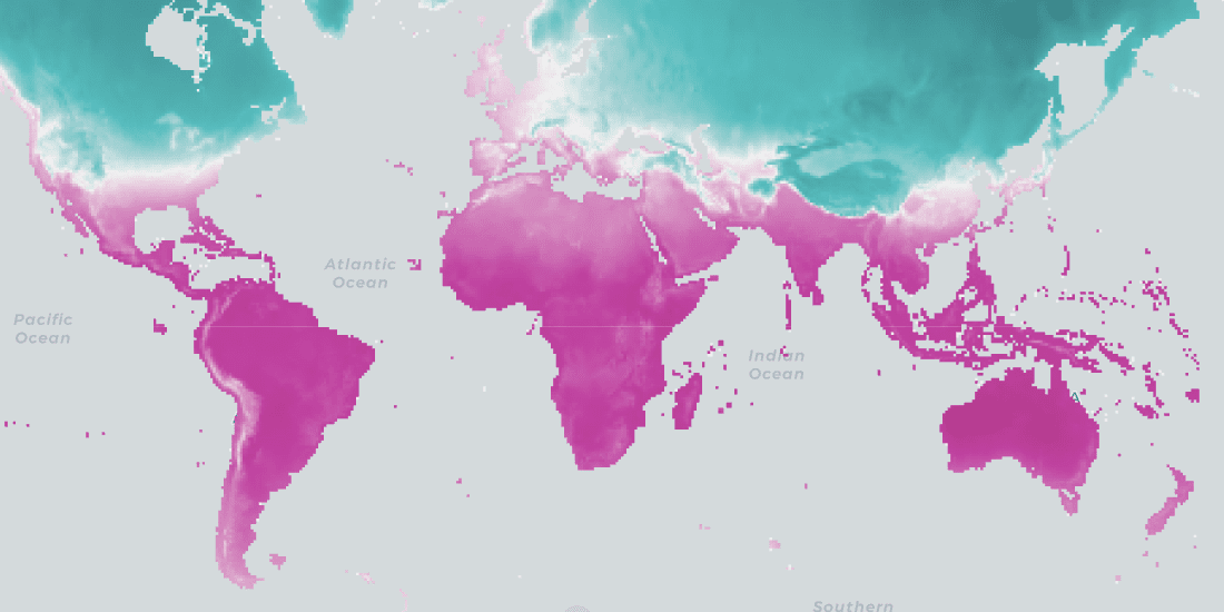
We are pleased to announce the release of a new version of CARTO Spatial Features, including new variables for urbanity level, elevation, & climatology


CARTO & Havas Media Group present at Big Data & AI World Madrid 2021
We’re excited to announce that we’ll be presenting alongside Havas Media at this year’s Big Data & AI World 2021 (part of the Madrid Tech Show).


CARTO & Google Cloud announce sustainability partnership to fight Climate Change
CARTO & Google Cloud announce a sustainability partnership to enable organizations to better understand climate change through massive geospatial datasets.


Announcing CARTO's Spatial Analytics in BigQuery
Today we announced at Google Cloud Next the General Availability of the new CARTO's Spatial Analytics in BigQuery. Learn more about the most innovative platform to perform spatial analytics natively in the cloud.
Location intelligence resources straight to your inbox
Subscribe to our latest news, product features and events.

Academy


Live maps with automated Workflows integrations are here
Create live, always-updated maps with CARTO by integrating Workflows and Builder. Automate geospatial analysis to visualization in one step.


Introducing User Comments: boost collaboration in your maps
Boost team collaboration with User Comments in CARTO Builder—add, track, and resolve feedback directly on your enterprise maps.


Navigate global risk with MBI CONIAS Political Risk data
Monitor and forecast global political risks with MBI CONIAS data - spatial, predictive, and ready to support smarter decisions in volatile regions.


.png)
.jpg)


.png)
