

Use cases
.png)


Assisted Living Facilities Site Selection for Elderly Care
As the world’s population ages, discover how Assisted Living Facility owners & Private Equity can use CARTO for Site Selection to identify new optimal locations


Distance-based functions for the spatial analysis of point data in BigQuery
We are pleased to introduce 3 new functions for point data analysis in our Analytics Toolbox for Google Cloud BigQuery: K-nearest neighbors, Local Outlier Factor, & G-function


Black Friday Analysis: Why Retailers Should Pay Attention
Discover how retailers can evaluate Black Friday & holiday sales performance using hotspot analysis, Safegraph foot traffic data, and the CARTO platform.


Understanding the Impact of Tree Equity in Chicago
Learn how the University of Chicago built a tree equity solution to understand the impact that tree canopy cover has on social & health outcomes in the city of Chicago.


Fuel Shortage UK Maps & What Location Data Can Tell Us
Earlier this year many petrol stations in some parts of the UK ran out of fuel. Discover what location data can tell us about the real story behind the long queues.


CARTO selected for AI4Cities Phase 2 Sustainable Mobility Project
We are pleased to announce that we have been selected to participant in phase 2 of AI4Cities, a project to help cities accelerate their transition towards carbon neutrality

Climate Change & Extreme Weather: Hurricane, Wildfire, & Flood Maps
Climate change is contributing to extreme weather with increasing bursts of hurricanes, wildfires, & floods. See how maps can help plot, predict, & protect.
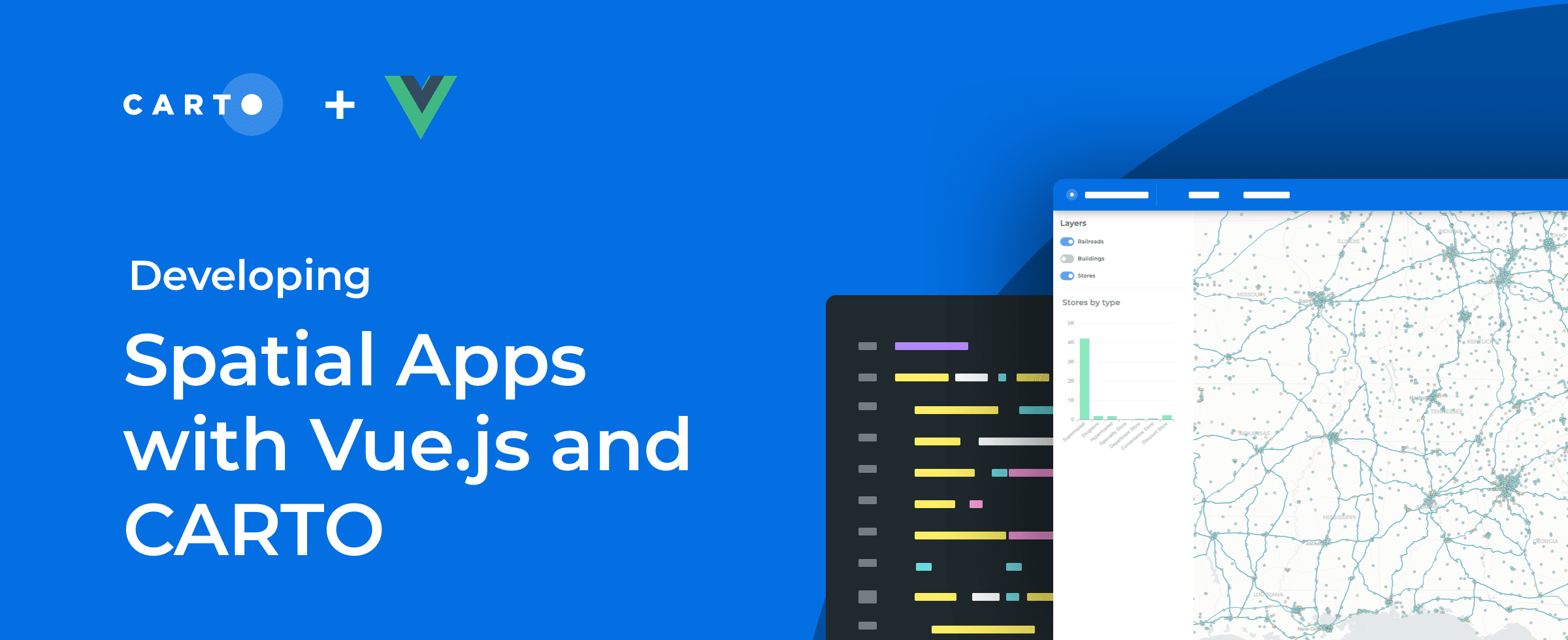

How to Build Scalable Spatial Apps with Vue.js & CARTO
Developing spatial apps with Vue.js? Check out our guide to how easy it is to integrate Vue.js applications with CARTO for deck.gl

Using Location Intelligence to Ease the Supply Chain Crisis
The disruption of global trade flows & a shortage of drivers has led to a global supply chain crisis. Read how Location Intelligence can be a road out of the crisis.


Canary Islands Volcano: Mapping La Palma Lava Flow & Damage
We use Spatial Data Science & CARTO to analyze & predict the damage caused by the eruption of the volcano on La Palma in the Spanish Canary Islands

Capturing the Sensitivity of National Wind Energy Potential to Local Siting Challenges
Wind energy is poised to be a significant contributor to national decarbonization goals, while there is enough wind available to power the nation, local siting challenges could have national implications. See how NREL is using location intelligence to better understand wind potential and it’s interaction with national clean energy targets.

A Look Back at 18 Months of COVID Grants & Maps
18 months since CARTO made it’s platform free to public & private sector organizations fighting coronavirus, we look back at some of the hundreds of grants.

Academy

The Changing Role of the GIS Analyst
Discover how GIS Analysts are evolving from map makers to strategic AI-driven experts shaping enterprise decision-making with cloud-native tools.
Unlock planetary-scale insights with CARTO & Google Earth AI
Learn how CARTO & Google Earth AI make planetary-scale insights accessible with foundation models & Agentic GIS.

AI & the Future of Geospatial: Highlights from #SDSC25
AI and Agentic GIS are revolutionizing spatial analytics. Discover innovations, insights, and trends shaping the future from #SDSC25 New York.