Integrated Location Intelligence to drive key climate resilience decisions
CARTO for Climate Insights combines agency infrastructure information, earth observation and 3rd party spatial data to unlock a complete spatial analytics toolkit. Predict climate-related risks affecting the built environment, provide context and drive more informed infrastructure decisions across government departments.


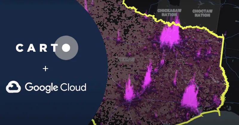
Built for Google Cloud
CARTO for Climate Insights has been developed natively to Google Cloud and seamlessly integrates with BigQuery. Government agencies can easily ingest key spatial datasets and unique earth observation data from Google Earth Engine. With CARTO Spatial Analytics for BigQuery, decision-makers can run advanced spatial analysis at scale, to understand the real impacts of climate change on the built assets they manage.
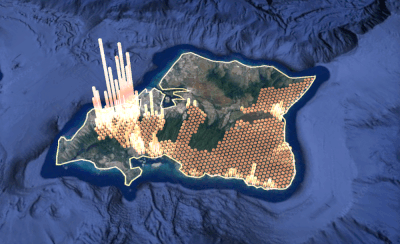
Unlock Advanced Map Visualization
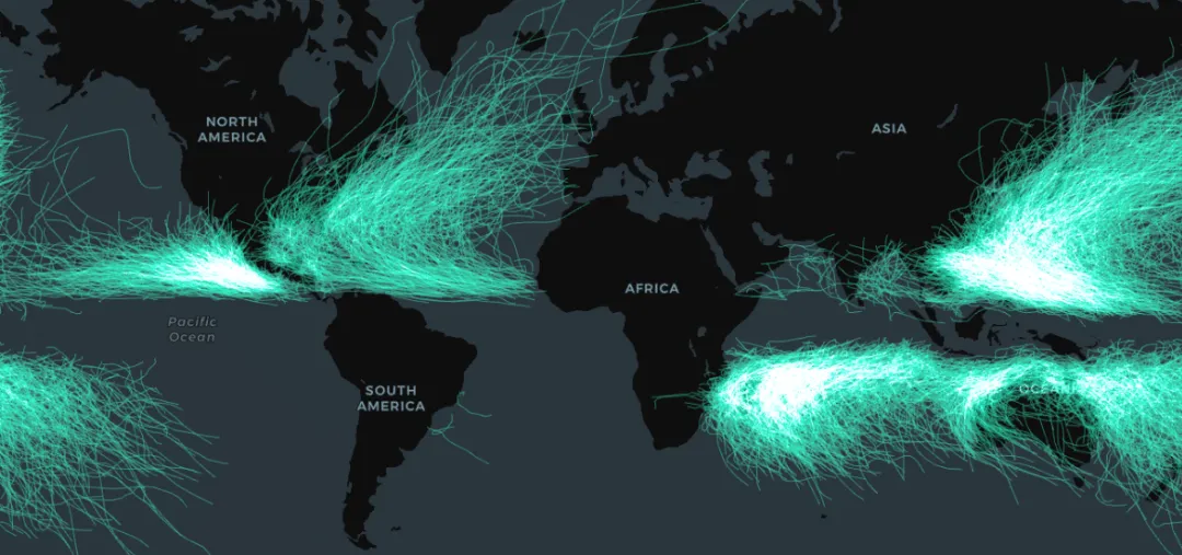
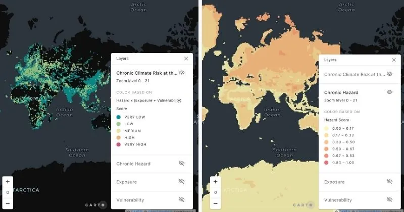
Create insightful map visualizations with Builder to understand infrastructure risks due to erosion, heat, flooding, fire, drought, extreme weather episodes and more. Share the results of your analysis with agency stakeholders for quicker, more coordinated responses to climate-related events. Create public interactive visualizations on climate risks, infrastructure investments and ongoing maintenance to keep citizens informed.


Access Thousands of Spatial Datasets
Combine your infrastructure asset information with 3rd party data sources on climate-related risks, weather, earth observation data, road traffic and citizen demographics to build a complete picture of the current and future risks affecting roads, coastal areas, buildings, industrial facilities and essential energy supply assets. The CARTO Data Observatory opens up your analysis to more than 12,000 public and premium spatial datasets.
Guide Strategy with Spatial Analytics
Our Analytics Toolbox brings advanced spatial analytics, natively to BigQuery. Use Workflows to design, run and share powerful climate impact analytics on the risks to infrastructure networks. Use these insights to guide investments, prioritize maintenance and respond rapidly to catastrophes caused by extreme weather events.