.png)


Live maps with automated Workflows integrations are here
Create live, always-updated maps with CARTO by integrating Workflows and Builder. Automate geospatial analysis to visualization in one step.
.jpg)
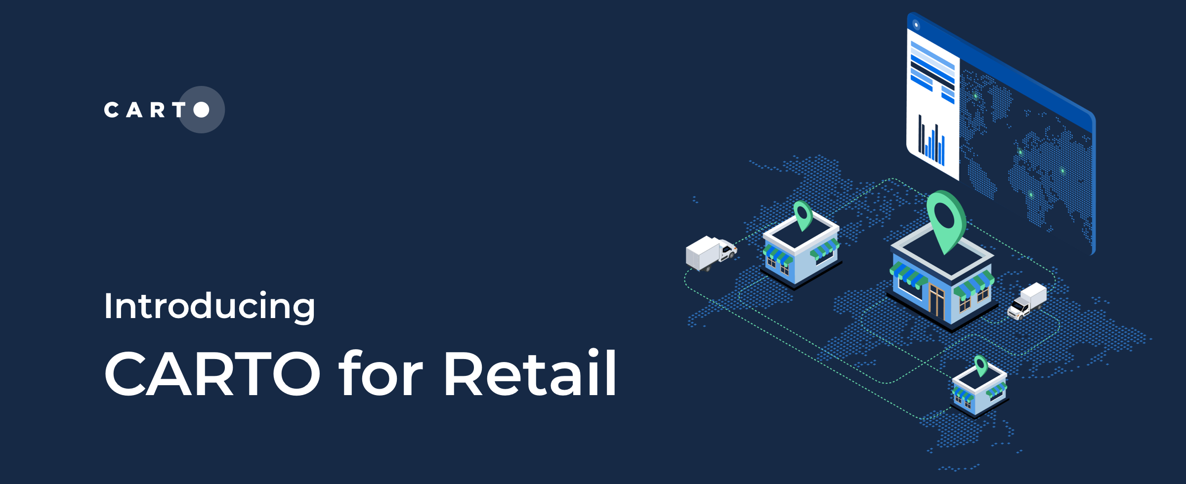

CARTO for Retail, the Spatial Analytics Platform for Global Retailers
We’re excited to introduce CARTO for Retail - the integrated Spatial Analytics Platform for Global Retailers! Learn about our new solution here.


5 Reasons Why OOH Professionals Are Turning to Location Intelligence
“More people in OOH advertising are incorporating GIS & location intelligence data into their media planning. Discover 5 advantages of making data-driven campaigns.”
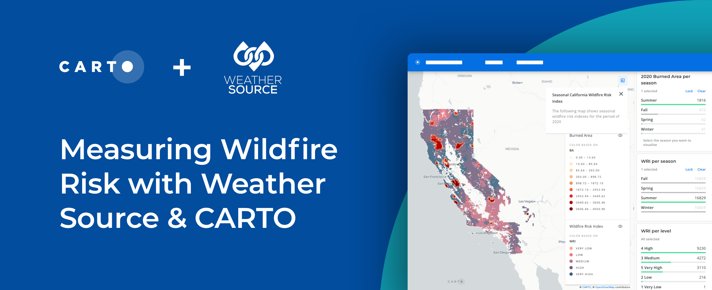


How to Use Spatial Data to Create a Wildfire Risk Map
Mitigate wildfire risks with our guide on creating a Wildfire Risk Map. Explore spatial analysis using Weather Source & CARTO for informed decision-making.

Spatial Leaders Gather in London for #SDSC22
“#SDSC22 London is this week! Join spatial leaders from around the world to discuss & learn about the future of Spatial Data Science."

CARTO at Snowflake Summit 2022 in Las Vegas
“Register for Snowflake Summit 2022 so you don’t miss our talk on how Snowflake and CARTO can help you stay ahead of competitors."

Hexagons for Location Intelligence: Why, When & How?
CARTO explains how using hexagonal grids in your location-based analysis can lead to more efficient analysis and greater insight.

CARTO selected by SEAT & Volkswagen as key EV Vehicle Partner
We’re thrilled to announce CARTO has been chosen as a strategic EV Vehicle partner for an exciting PERTE VEC project. Learn more here.

Closing the Equity Gap with Spatial Analysis
“See how spatial analysis can be used to determine & visualize where access to resources is equitable & inequitable so we can start closing the U.S. equity gap.”

Announcing CARTO at Global AWS Summits
“We’re excited to be sponsoring, attending and presenting at multiple AWS Summits in 2022! Learn more and find out where we’ll be here."


Locating High Performing Retail Expansion Sites
The Retail module in our Analytics Toolbox for Google BigQuery now includes Twin Areas analysis, an essential tool in Site Selection analytics. Learn more.

Understanding Retail Store Clusters with Local Outlier Factor Analysis
“See how Local Outlier Factor can be used as a tool for understanding the spatial patterns of retail store locations."

Dark Store Site Selection: How Geospatial Data Can Help
See how market leaders are doing dark store site selection using geospatial data & analytics with CARTO & Snowflake.

Academy
Live maps with automated Workflows integrations are here
Create live, always-updated maps with CARTO by integrating Workflows and Builder. Automate geospatial analysis to visualization in one step.

Introducing User Comments: boost collaboration in your maps
Boost team collaboration with User Comments in CARTO Builder—add, track, and resolve feedback directly on your enterprise maps.

Navigate global risk with MBI CONIAS Political Risk data
Monitor and forecast global political risks with MBI CONIAS data - spatial, predictive, and ready to support smarter decisions in volatile regions.
.png)
